Dale Matson
Click On Photographs To Enlarge
Hike Route
South Lake At Sunrise From The Dam
Take Highway 168 (Line Street) West
out of Bishop CA. After a bit of a drive, turn left to go to South Lake. There
is a big sign at the intersection. If you miss the turnoff, you will end up at
Sabrina Lake. If you arrive early, you can park in the day use parking on the same
level as the trailhead. There are several parking areas lower down which require
you to walk up to the trailhead. The trailhead is above the top of the dam. There
is a bathroom and trash cans.
This hike is about 8 miles round
trip with about 1,450’ of elevation gain overall. I averaged a tad more than 1.2
miles an hour but I took over 100 photos. It is a great hike if you are fit and
pay attention to where the trail goes. Have a GPS and/or map and compass. The mosquitoes
are still out in force! There is plenty of water along the way for resupply if
you have a means to treat or purify it.
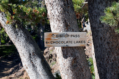
Follow the trail toward Bishop Pass. Much of the climb is along South Lake. At about 2 miles, you will come to where
the Chocolate Lakes trail cuts off to the left. The trail can be faint at times
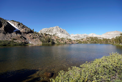
through the marshy areas that are still a tad wet. There are four lakes with
the first lake called Bull Lake. If you look at your map, the trail generally follows along the shorelines
of the lakes. When you are at the third Chocolate Lake, Thunder and Lightning Peak
(AKA Vagabond Peak 13,336’) can be seen above the lake. This name is not
included in some topographical maps. To the right of this is Cloudripper at 13,525’).
I used a Sony A7R3, 16-35mm 2.8 GM and 24mm 1.4.
Caveat: If you are a poor navigator, I do not recommend this hike.
Caveat: If you are a poor navigator, I do not recommend this hike.
Stay On The Bishop Pass Trail
Follow The Chocolate Lakes Trail
Bull Lake With Mt. Goode Above
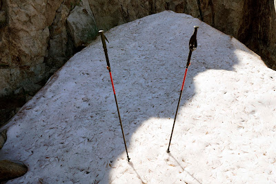
Yes, This Is Snow In Late August
Chocolate Mountain
Vagabond Peak Left and Coudripper Right


