Dale Matson
Click On Photographs To Enlarge


Painted Lady


Fin Dome


Rae Lakes From 60 Lake Basin Trail


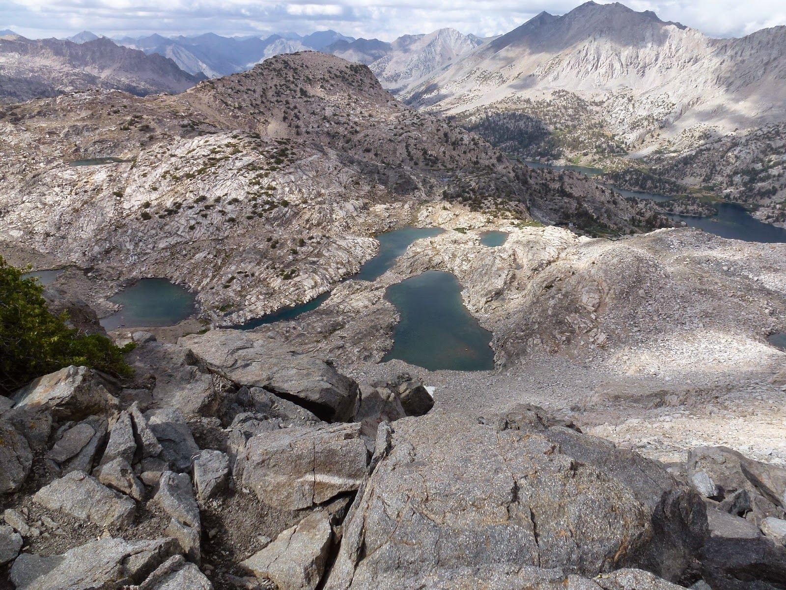
Rae Lakes On Climb To Dragon Lake
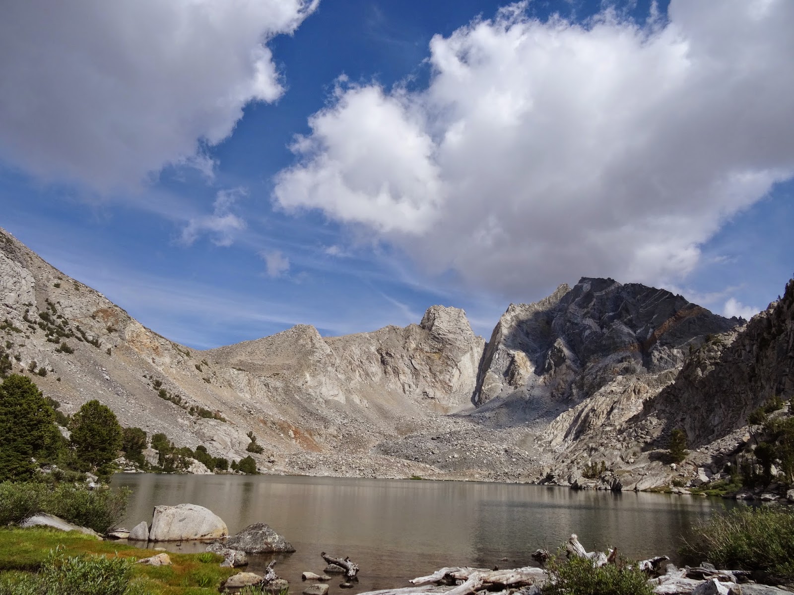
Dragon Lake

Trail On South Side Of Glen Pass


Rae Lakes From Glen Pass


Ranger Cabin


Overnight On Loop Hike


Near Dollar Lake
I visited the Rae Lakes area in Kings Canyon Park on three
occasions. The first time I went there, I did it as a two-day loop. Most
backpackers take four days or longer. Rae Lakes is a part of the well-known
“Rae Lakes Loop”. The loop is about 42 miles and begins and ends at “Road’s
End” near Cedar Grove. The loop hike can be done clockwise or counterclockwise.
Doing the loop in a counterclockwise direction puts all the elevation gain
(about 7,000’) at the beginning till one reaches Glen Pass and it is all
downhill from there. The elevation of the Rae Lakes area is about 10,600’. For
those who think I went too fast, Leor Pantilat did the loop in seven hours.
I must confess that for me, the lower leg of the loop following
Bubb’s creek does not offer much of a view. Once out of Junction Meadow you
begin to climb again and see the magnificent mountains around you when you join
the John Muir Trail (lower Vidette Meadow) heading northbound. The same is true
of the upper part of the loop beginning at the Woods Creek suspension bridge
and here is my point. In other words,
the best part of the Rae Lakes hike is the JMT portion. For those who want to
see Rae Lakes without doing the loop, it is better to go over Kearsarge Pass
from the Onion Valley Trailhead and take the upper trail to where it meets the
Northbound JMT. It does involve going over both Kearsarge and Glen Passes but
the out and back from Onion Valley is about 10 miles shorter than the loop and
has much better views. There is water and a lavatory facility at the Onion Valley trailhead
plus a private campground available for a fee.
The loop hike wilderness permits are available in the park
at Road’s End. The wilderness permits for the trail beginning in Inyo County
and can be obtained at the station in Lone Pine. There is a two day maximum
stay in the Rae Lakes area because of the popularity but one could head toward
the 60 Lake Basin and also stay at the first lake on that trail or stay
overnight at Dragon Lake above Rae Lakes. My other two visits were over
Kearsarge Pass and if I ever go to Rae Lakes again, it will not be from Road’s
End.
There are bear boxes at Rae Lakes and a ranger station. Stop
by and sign in to let the ranger know you are passing through and ask about
recent sightings of the endangered Sierra Nevada Bighorn Sheep. The 500’ climb
to Dragon Lake, which is in a bowl, is worth the effort but there is no trail
once the climb starts. If you climb it with a pack, you might as well stay the
night there. Rae Lakes is a very special place in a great National Park.


