Dale Matson

Click On Graphics To Enlarge
The Mitchell Peak trailhead is about 2 hours from Fresno CA.
The route begins on Highway 180 and once in the park it is a south turn on the
General’s Highway into Sequoia Park. After a drive south, turn left on Big
Meadows/Horse Corral Road. Stay on the paved road until you see a sign that
says, “SHSC” to your right. Turn right and you will soon see a road marker
(Forest Route) “13S12”. Follow it until it turns into a dirt road. Eventually,
you will end at the trailhead for Marvin Pass. I think the directions can be
confusing and my GPS will clarify the trailhead and route to Mitchell Peak.


There is a cutoff trail on the left outbound that leads to the Sequoia High Sierra Camp. There is another signed trail junction further out.


Mitchell Peak (elevation 10,365’) is in the Jennie Lakes
Wilderness of Sequoia National Forest/Kings Canyon National Park and is an out
and back hike of seven miles. It has about 2,000’ of elevation gain in the 3.5
miles of outbound trail. The trail is almost entirely through the forest until
you are above 10,000’ of elevation. There is a concrete slab on top where there
once was a lookout tower. We found that the outbound hike was about 2.5 hours
and the descent back to the trailhead was faster at about 1.5 hours. There is
no water source of consequence so take plenty of water with you on this hike.
There is a bit of boulder hopping at the end but it is not too difficult.
Younger folks would call it a “walk up”.
The view is one of the best in the Sierras since it is 360
degrees and well worth the climb. Most of the photographs were with a 35mm prime lens on a clear day and attest to the view.


Panorama

Panorama

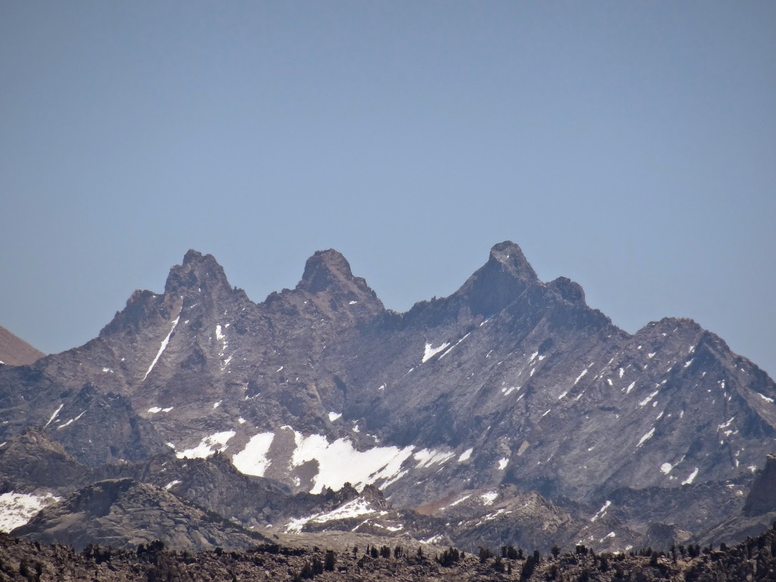
Telephoto


Telephoto

Here is an August 2017 Video of this hike.
No comments:
Post a Comment