Dale Matson
Click On Photographs To Enlarge

Initial Hike Route Black Line Is Correct Route
This Ambit 3 Map Is Not USGS
The Birch Lake Trailhead is accessed
by heading west out of Big Pine CA on (initially) Crocker Street which
eventually becomes Glacier Lodge Road. After about two and a half miles there
is a left turn onto McMurray Meadows Road which is unpaved. Make sure you are on McMurray Meadows Road. You drive about 5.5
miles and Just before you cross Birch Creek, there is a trail to the right
going slightly uphill there is a sign there. Follow that road for less than a
mile with a high clearance vehicle and
find a slot to park near the gate which is currently open. There are about 4
places to park. (It was closed and locked when I was checking it out later in
the season). The trailhead sign is not far from there.
And this is where things can get
confusing. I must first admit that I am one of the worst navigators on the
planet. Also, the trail is initially a kind of continuation of the lousy road. (It
also goes through pasture land with lots of cow trails leading to wherever cow
trail lead to.) From there turn left at the first junction. (Going to
the right looks like a 4X4 trail on the map heading north but since the map was
produced it has become more like a single-track trail). and right at the
second junction. I didn’t turn right at the 2nd junction and
continued following the “Wide path that leads to destruction”. You do not want
to be near Birch Creek and that is exactly what I mistakenly did until I realized
that it had become a trail into the “Heart of Darkness” along the creek. I was
able to eventually climb up the steep sides of the pumice gully and get to
higher ground. I was “Plumb tuckered out”, as they say and decided to head back
to the truck at the trailhead. The Higher route on the map is my return leg. The hike to Birch Lake is about 12 miles round
trip with about 4,000’ of gain. I had only gone about four miles round trip and
climbed about 1,200’. I came across a single cairn outbound near where I turned
around. I think the person that built the cairn may have been strong and dumb
enough to follow the creek to Birch lake or he passed away sometime later never
reaching Birch lake.
Ok, so now I know where to go next
time and God willing, there will be a next time. I also placed several
waypoints along the Birch Lake trail on my software map and downloaded them
into my GPS. Now it is a matter of licking my wounds until the next time.
What good came of this…”recon”? I
got some nice approach photos in the early morning along McMurray Meadows Road
and some interesting shots from the trail too. There is one mountain I couldn’t
identify in front of me that may be Disappointment Peak. Let me know if I am
guessing right or not. The other thing is that I now think I know where to go
next time. I believe I had enough water to reach Birch Lake but if you have
taken this route please let me know if there is water available along the 6
miles of trail. The map shows a couple of springs but I am uncertain if there
is water available there.
I used the Sony A7R3 with the Zeiss
Batis 135mm 2.8 and Zeiss Batis 25mm f2.0. I also took some backup shots with
the Sony RX100 m3.

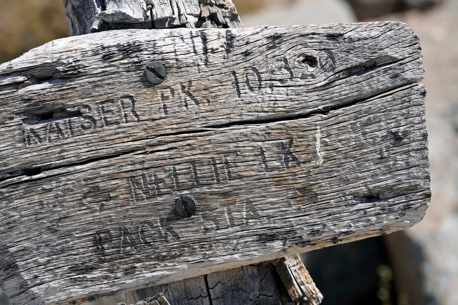
McMurray Meadows Road

Sign At Turn Off


Tinemaha Left Birch Mt. Right


Who Knows Why This Cairn Was There?

Looking Up Birch Creek at Ed Lane Peak 13,576'

Birch Mountain


Looking Back And Down East From Where I Started Inyo Mountains

Close Up Of Birch Mountain


Coming Back To Truck


Sunrise Over Birch Mountain Under Full Moon

Split Mountain
Here is the 2nd attempt. It should really be done as an overnight. https://midsierramusing.blogspot.com/2018/09/birch-lake-ii-bridge-too-far.html
Here is the 3rd successful attempt.