Translate

Thursday, June 29, 2017

Courtright Reservoir June 2017


Dale Matson

Courtright Dam Barely Visible

I wrote an article about Courtright last year that has more particulars regarding directions and sights along the way. http://midsierramusing.blogspot.com/2016/07/dinkey-creek-area-and-courtright.html
This year my post includes more photographs from the vista overlook above Courtright and more photographs of Courtright itself. While the road to Courtright Reservoir off McKinley Grove Road is a U.S. Forest Service Road, access is determined by PGE. Because this was a winter of abundant snow and PGE keeps the access gated until the snow melts, this was the first week the road was open. The lake altitude is over 8,000’ and this is about the snow line at present.
My son Ben and I were surprised to see 20 or so cars at the boat ramp and near the dam. There were about a dozen folks fishing along the dam. We had lunch there but drove on a road that travels north along the west side of the lake. The campground areas were still closed. The road ends at a gate blocking access to private residences. The trailhead to Cliff Lake also begins in this area.
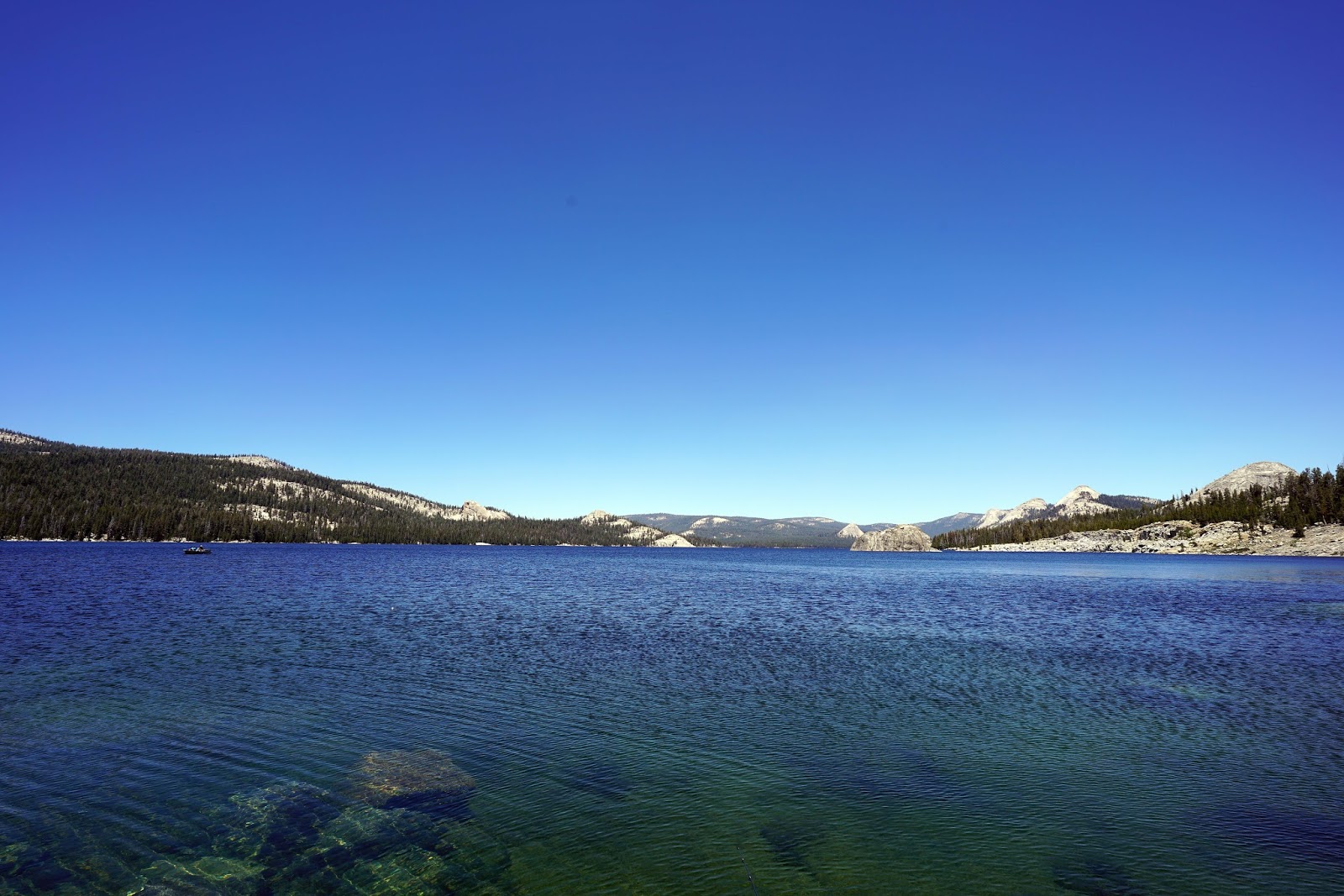
We turned around and headed south again and found a pullout to park in to walk down to the lake for more photographs. The lake is as full an as blue as I have ever seen it with some snow still covering massive Maxson Dome (10,143’) on the east side of the lake. It is quite a landmark for those doing a day hike to Hobler Lake or places beyond like Black Cap and Red Mountain Basins that require wilderness permits for several days of backpacking.
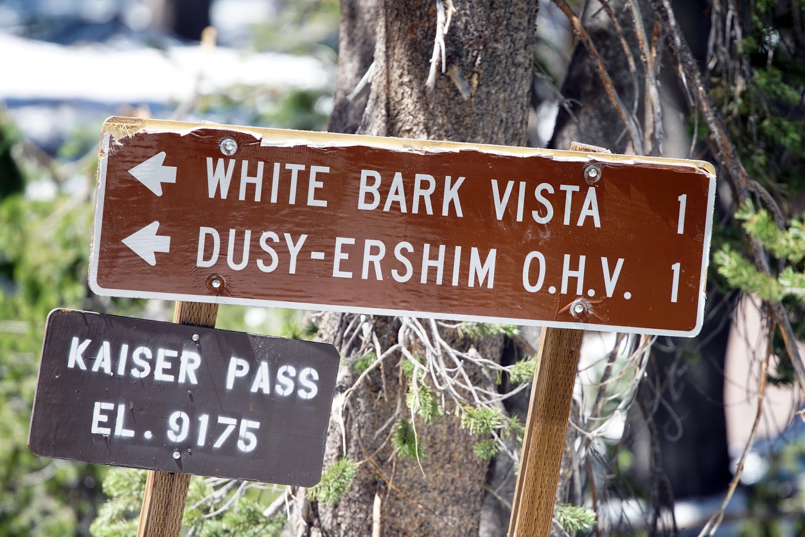
When the trail conditions improve later in summer this is also where the drive starts for the wicked 31-mile Dusy-Ershim OHV trail that ends near Kaiser Pass to the north. The trail is fairly tame until after Voyager Rock. https://www.youtube.com/watch?v=Tt-5BHgM7CA&t=175s
You have to drive on a single lane road across the dam to access these trailheads and camping areas. Don’t look to your right!

I used an assortment of lenses with my Sony A7R2. Those included the 24-70 2.8 GM, 18mm 2.8 Zeiss Batis, and adapted Canon 70-200 2.8 and 400 f4 lenses. All of these lenses are sharp but the 18mm Batis remains my favorite for rendering color. 

Click On Photographs To Enlarge  
 Three Of Many Area Domes
 Ben Taking A Risk For Just The Right Photograph!


 Happy Angler And A Friend
 River Gorge Below Dam
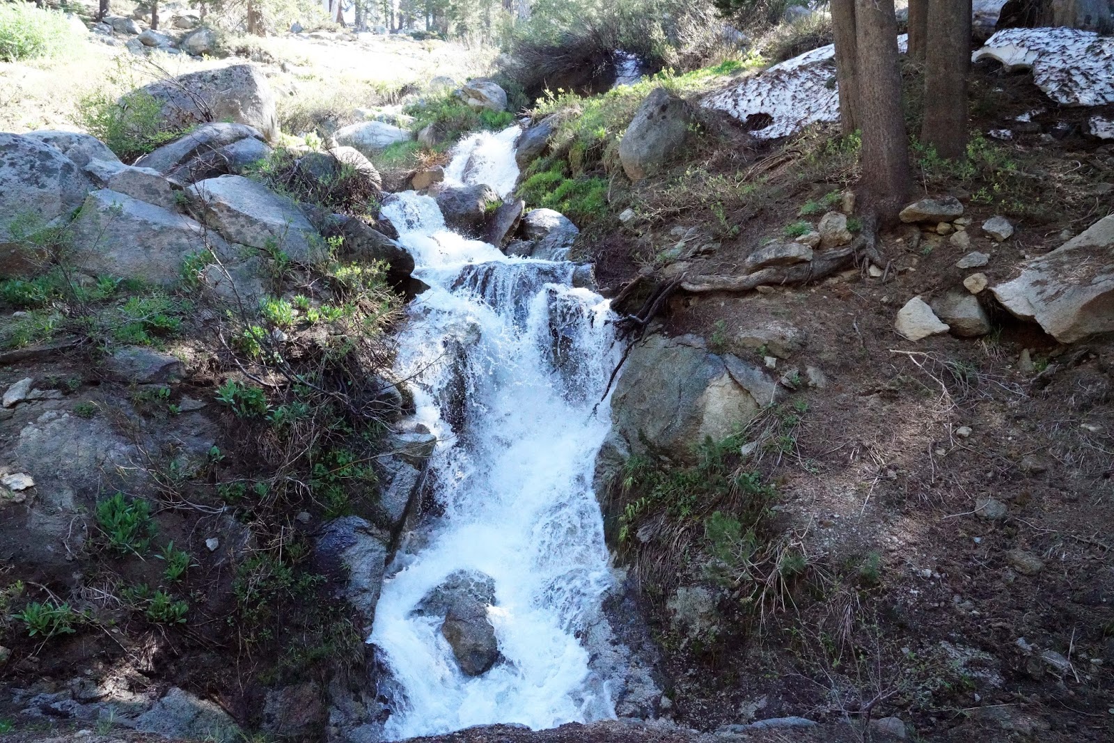
 Small Creek Flowing Into Courtright

Pollen


 70mm Vista

Mt. Goddard (13,563') 200mm
 400mm
800mm

Friday, June 23, 2017

Kaiser Pass Area June 23, 2017 And The Kaiser Pass Road


Dale Matson

OK, so the “Climb to Kaiser” bicycle ride (“it’s not a race”) is tomorrow and I thought I would see what the area looks like since the pass was just plowed open last week. I completed the sufferfest bicycle ride three times and the 155 miles with 13,000’ of gain is one of the top ten toughest one-day rides. When the cyclists reach Kaiser Pass, they turn around and head back to Clovis CA. Tomorrow they will be finishing in 104-degree heat. Here is a short video clip of the ride: https://www.facebook.com/climbtokaiser/videos/10153654695076541/
The Kaiser Pass road comes off Highway 168 at Huntington Lake and climbs to 9,150’ before dropping down to a junction that will take you to Edison Lake if you head north 7 miles from the junction. If you head south for 7 miles you will end up at Florence Lake. Both of these lakes are a part of the massive Big Creek Hydroelectric Project and are connected underground by the Ward Tunnel. There is no electrical or phone service to either lake. There is evidence along the road that there were utilities at one time. Edison Lake was created by placing a dam on Mono Creek (1954) and Florence Lake was completed in 1926 by placing a dam on the south fork of the San Joaquin River.  The last 7 miles takes about an hour and is only a tad more civilized than the Dusy Ershim OHV Trail that begins one mile from Kaiser Pass, travels through the Dinkey Lakes Wilderness and winds up at Courtright Reservoir after 31 punishing miles. I hiked a portion of this trail and struggled less than those who drove on it. Here is a video clip. https://www.youtube.com/watch?v=Tt-5BHgM7CA
The Last 7 miles of the Kaiser Pass road really requires a high clearance vehicle. My wife put a hole in her oil pan driving her dad to Edison Lake for fishing. Thankfully there was a mechanic at Edison Lake who made a temporary repair that got her back to Fresno. Mono Hot Springs Resort is also along the road to Edison Lake.
Both Lakes are staring points to join up with the John Muir Trail (JMT) but Edison Lake is also a good starting point for a trans-Sierra Hike up Mono Creek over Mono Pass to the East Side of the Sierra Nevada. That trail joins the Rock Creek Trail.
I went about 5 miles past Kaiser Pass to get some photographs of the Sierra Nevada Mountains to the West. It is a one lane “road” with occasional pullouts to let oncoming traffic pass by. The road is not for the faint of heart.

My photographs were taken with my Sony A7R2, 24-70 2.8 GM lens and an adapted Canon 400 f4. The air is bad right now and the long shots were a bit hazy. 

Click On Photographs To Enlarge
 China Peak Crop 400mm

 China Peak 


 Road To Whitebark Vista Maybe In A Month!


 Portal Forebay


 Rancheria Falls From Kaiser Pass Road 400mm