Dale Matson
Click On Photographs To Enlarge

Tower On Top Of Bald Mountain
Before you get to Shaver Lake on Highway 168, there is a
turnoff called Dinkey Creek Road. Heading east, you will come to the resort
area of Dinkey Creek. If you look to your left you can see Bald Mountain with
the lookout tower on top. Along the way there are several turn offs for off
highway vehicles (OHV) that follow old logging roads. Probably the most
traveled logging road off Dinkey Creek will take you to the trailhead for the
Dinkey Lakes loop in the Dinkey Lakes Wilderness. Tom Harrison has a relatively
new map developed for this area. Once at the trailhead the route is fairly
straightforward with a vigorous hike to this lakes chain.
There is a fork in the road just before Dinkey Creek and taking
the road to the right, you will find yourself crossing Dinkey Creek on McKinley
Grove Road. This road essentially ends at Wishon Reservoir. Between Dinkey
Creek and Wishon Reservoir is the McKinley Grove of Giant Sequoias. It is one
of two Sequoia Groves in Fresno County (Grant Grove this the other grove). It
is well worth the stop to wander under these stately giants. In the spring of
the year, there are many dogwood trees in bloom including Dogwoods among the
Sequoias.


My Truck Provides Perspective

McKinley Grove With Dogwoods In The Spring
Before you get to Wishon Reservoir, there is a left turn off
to Courtright Reservoir (elevation about 8,000’) on Courtright Way. This is
about an eight-mile climb to the north. Before you drop down to the reservoir,
there is a vista pullout on the right with a view of the LeConte Divide and the
prominent Mt. Goddard (elevation about 13,560’) to the east.


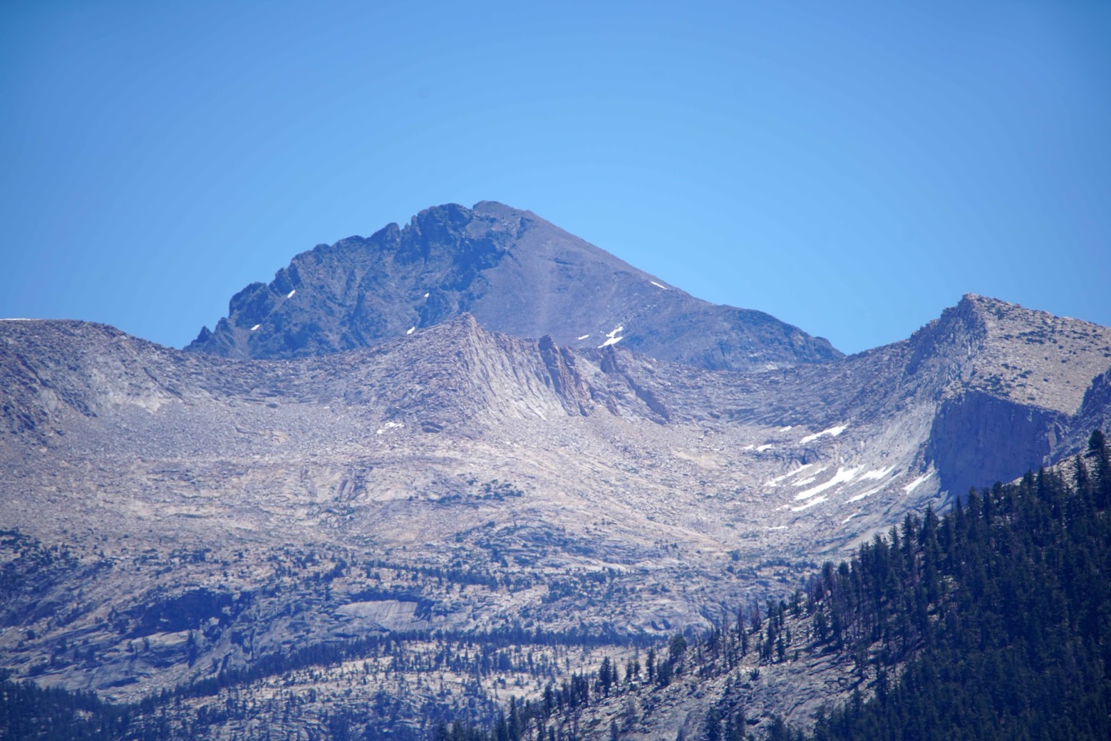
Mt. Goddard


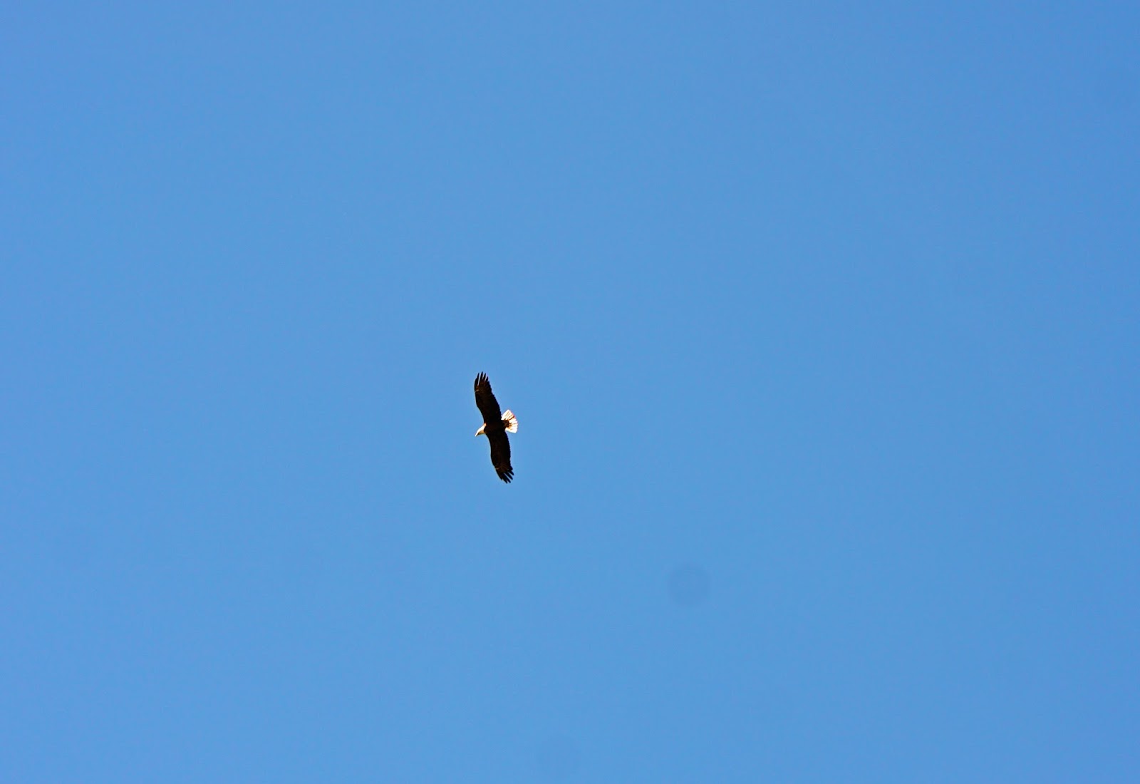
Bald Eagle

Osprey
When you are near the lake, take the road that heads toward
and across the dam. Cross the dam. At the end of this road you will see the
sign for the Maxon Trailhead that leads towards Kings Canyon past Hobler Lake
and eventually over Hell For Sure Pass. There are also opportunities for
fishing and day hikes. The infamous 33 mile Dusy Ershim trail begins in this
location. https://www.youtube.com/watch?v=TPMXZ9wdl84
The trail travels north and ends at White Bark near Kaiser Pass. It would be
easier to hike the trail than drive it!
I
recently drove up from Fresno CA and enjoyed the route taking photographs along
the way. I especially enjoyed sitting at the south end of the lake and taking
photographs of passing Ospreys and Bald Eagles. It is so good to see this beautiful
high Sierra reservoir full again. I have biked this route from Dinkey Creek and
during the week, there is not a great deal of traffic for cyclists. The trip
back is quite a bit faster that the climb up!
Here is a day hike to Hobler Lake.
http://midsierramusing.blogspot.com/2015/05/day-hike-from-courtright-reservoir-to.html
Here is a day hike to Hobler Lake.
http://midsierramusing.blogspot.com/2015/05/day-hike-from-courtright-reservoir-to.html
No comments:
Post a Comment