Dale Matson
Click On Photographs To Enlarge

View From Dewey Point
Trailhead Badger
Pass, Beginning altitude about 7,200’, 750’ ascent, distance about 8 miles
round trip, 5-6 hours
This trip can be done faster on c.c. Skis but it is not a
trip I would recommend for a novice skier. The last 1.5 miles to Dewey Point has
some steep ups and downs. Dewey Point was named after Admiral George Dewey the
only person ever named “Admiral of the Navy”.
We did this as a day trip from Fresno, which made for a long
10-hour day. The first mile is on the groomed snow of Glacier Point Road. Dewey
Point can be done as a loop hike combining the more difficult trail #14 and
trail #18. We chose to hike trail #18 as an out and back. Trail #14 begins near
the top of the first climb before Summit Meadow. Trail #18 begins just past the
potties on the other side of Summit Meadow. The initial part of the route is
through beautiful meadows and crosses an unnamed creek.
The temperature was moderate but the light was flat, which
made for poor photographs of even the view from the point. It was fortunate for
us that several pilgrims had preceded us. The trail was packed and evident.
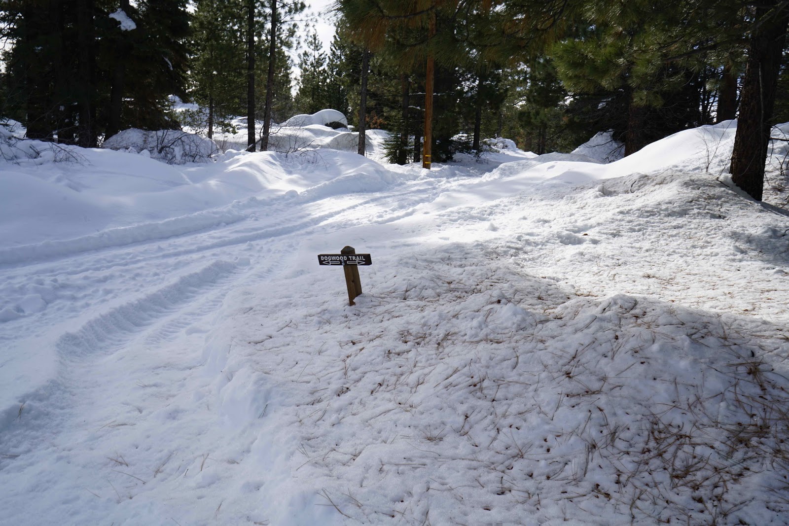
This is not an official mapped trail on topographical maps but the route is
marked with yellow metal flags and triangles on the trees.
The #18 trail eventually joins the #14 trail before reaching
Dewey Point. The trail actually crosses the mapped Pohono Trail (14 miles),
which runs along the south rim of the canyon from the Wawona Tunnel to Glacier
Point. As we were about to leave the flat meadow area, Josh Helling came flying
by on backcountry skis. He is a Yosemite guide, adventurer and cinematographer.
I usually see him at the beginning of the annual Nordic Holiday race. I
introduced him to my wife and friends. He is the usual winner of the 17K
classic on Saturday. Here is a little more about him. https://www.youtube.com/watch?v=JHcK4LREijM
When we arrived, the vista was as wonderful as I remembered
it on two previous visits. I used a Sony A7R2 with Sony Zeiss 24-70mm f4 and
16-35mm f4 lenses. The 16-35 lens was probably a bad choice because I was not
close enough to the features. Perhaps a 70-200mm lens would have been a better
choice. The light was poor and flat but the lunch break had a world-class view.
Since this was during the week, we only had a few other folks there.
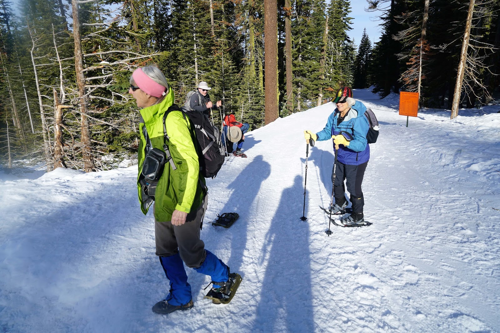
On the trip back, once we got back to the flatter part of
the return trail, we lashed our snowshoes to the back of our daypacks and
walked the trail using our trekking poles. It was easier on tired legs with
less weight on our boots.
Of course, we had to stop at the Wawona Store for treats on
the way back to Fresno, after a 3,500-calorie effort!
Trailhead


The Ladies By The Beginning Of Trail #14

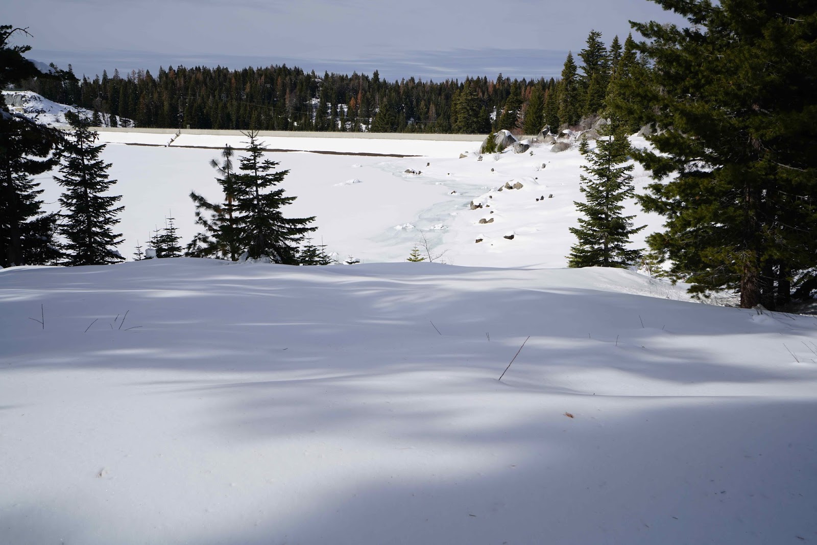
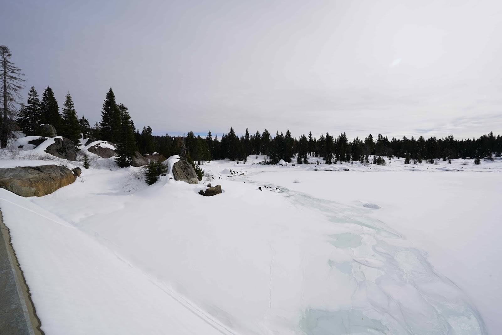
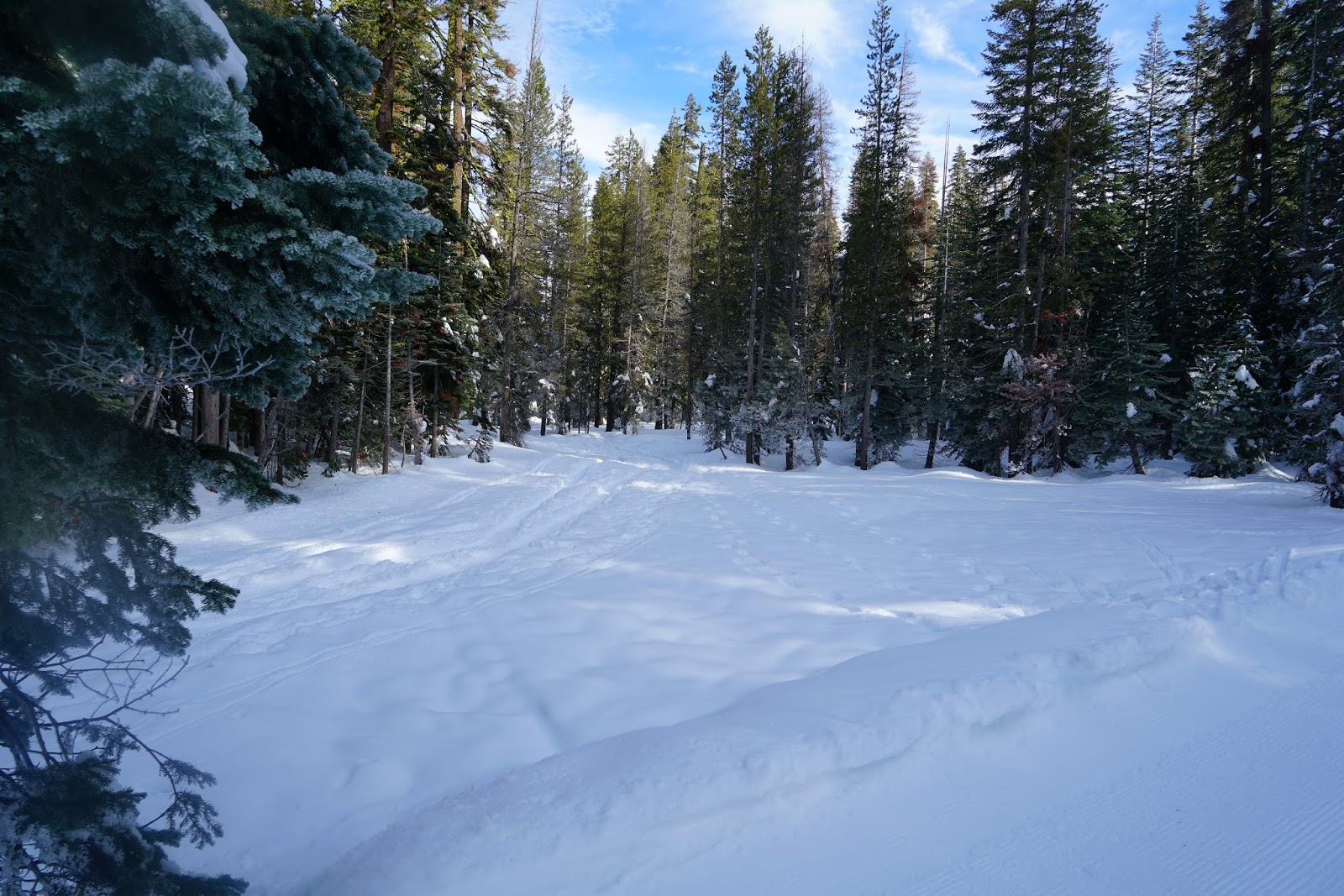
It Is So Good To See This Amount Of Snow Again

Leaving Glacier Point Road


Half Dome And Cloud's Rest Top And Left Of Center


El Capitan

Merced River And Road
 Crop
Crop


Lunch Break

Author


Map Of Route From Suunto Ambit 2
There is a YouTube version here:
https://www.youtube.com/edit?video_id=c1G2KvomhhM
There is a YouTube version here:
https://www.youtube.com/edit?video_id=c1G2KvomhhM