Translate

Tuesday, January 31, 2017

Out And About In The Sierra Snow


Dale Matson

Click On Photographs To Enlarge

I waited a few days for Highway 168 to clear up from the serial snowstorms we had recently. I think we got about 8 feet of new snow. We have had about 20 feet of snow above 6,500 feet thus far this season. The China Peak ski resort lists 23 feet of snow at the top of the mountain but some of our early storms were warm and the snow level was above 10,000’. The rain caused considerable damage to Dinkey Creek Road out of Shaver Lake. I believe it is still under repair. So, who knows how much snow there is at the higher elevations but I pity anyone doing the Pacific Crest Trail (PCT) this year. At this rate some passes on the JMT portion may have quite a bit of snow all summer. We are expecting three more storms in the next week so I wanted to head up before the next batch of slippery snow hit the ground. 
Today I headed up with an intentionally late start to avoid morning frost and ice on Highway 168. The snow line is about 4,000’. The 6-mile climb from the end of the four lanes to Shaver Lake is actually the worst part of the drive. It is curvy and shaded with residual icy spots. I stopped at the Edison Parking area for photos of Shaver Lake. From Shaver Lake to the high point at Tamarack Ridge snow park (about 7,600 feet) the road is actually better than below Shaver Lake. From Tamarack Ridge it is actually a descent to Huntington Lake at 5,995 feet.
I parked in the Tamarack snow park. (A day or season pass is required) The potties looked more like caves surrounded by deep snow. I slipped my micro spikes on over my boots and hiked the packed snow out the main trail. I cannot say enough good things about them. I bought them in Lone Pine at the last minute for my final Mt. Whitney day hike two years ago and had secure traction on the exposed icy trail.
I walked as far as the cutoff trail to Tamarack Meadow. Because I am recovering from anemia, the doctor told me to keep my heart rate below 110 bpm, which was not easy at this altitude. The trail signs are designed to accommodate deep snowpack and my guesstimate would be that the posts are 15 to 18 feet tall. Based on how little of the posts remained above the snow, I would guess the snowpack is currently about 10-12 feet. I was surprised how little foot traffic there was heading away from the main trail on the Raven Trail. This trail is Nordic only. Most folks come up and play in the area around the trailhead, eat a meal off the back of their SUV or pickup, fill up the bed of the truck with snow and head back to Fresno. This mostly happens on the weekends. Sometimes folks get confused, lost and the Fresno County SAR Team is called out to look for them. It was good to be in the woods again and feel the sun on my anemic face. Maybe I’ll get some color back that way.
I headed out again and once I passed the entrance to China Peak, the road was less maintained. By the time I got to Lakeshore (north side of Huntington Lake), I was traveling down more of a tunnel in the snow than a road. I parked in a snow park there for a photo of China Peak across the lake. Huntington Lake itself is frozen over and not very photogenic this time of year. There were big loaders and blowers moving snow to prepare for the next onslaught. Who would guess this is all 1.5 hours from Fresno? I have only seen a dusting of snow here once in 25 years!

I used a Sony A7R2 with a Zeiss Batis 85mm f1.8 lens and a Sony RXIR with a 35mm f2 lens for the photos.

 Shaver Lake
 Tamarack Ridge Snow Park


 Tamarack Creek Covered By Snow

 Huntington Lake Inlet From Florence Lake Via Ward Tunnel
 Lakeshore Area

 Red Mountain

 China Peak From Across Huntington Lake
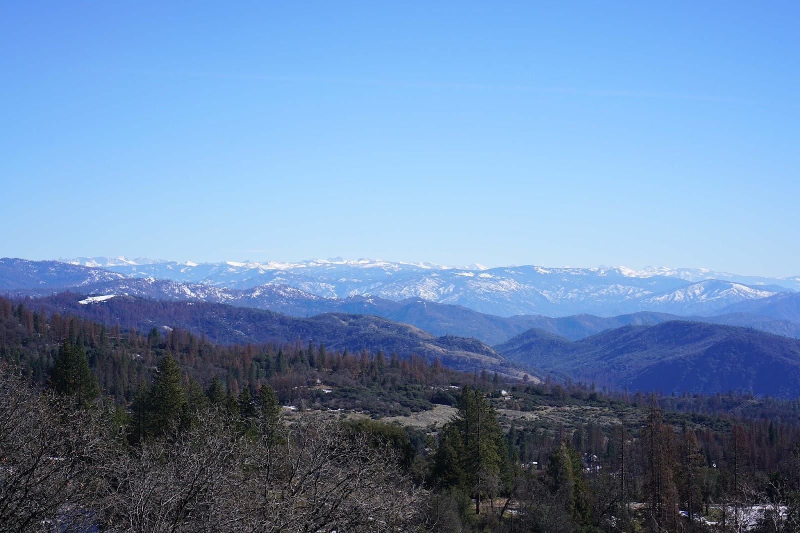
 Central Sierra View From Four Lane


 Darker Blue Horizontal Stripe Above Fog Is Costal Range   


Tuesday, January 24, 2017

Millerton Lake Morning


Dale Matson

Click On Photographs To Enlarge


Our rainstorm, which now brings us within 1.5 inches of annual rainfall, has also cleared the air. It was a clear sky and sunny beginning to the day, which called for another trip to the lake, which abounds with wildlife. (For more information on this half million-acre reservoir fed by the San Joaquin River, type Millerton in the blog search box)

This morning was no exception and the clear air made for some nice photos with a fresh and deep new coat of snow on the Sierra Nevada. Maybe this will be the year that busts the draught.


 Under Exposed But I Like The Color

 Coyotes

 Juvenile Bald Eagle
 Hawk


Earlier In The Week

Tuesday, January 17, 2017

Millerton Lake To Shaver Lake Photos


Dale Matson

This was essentially an entire day devoted to taking photographs of some of my favorite places. I am retired and have days to dedicate to these kinds of things. Beginning tomorrow we expect another series of rainstorms in Fresno CA, the foothills and Sierra Nevada mountains to the east. Hopefully this winter will be a draught buster.
I began at Millerton Lake (560’ in elevation), which is only 20 minutes from my home. I then headed to Shaver Lake (elevation 5,500’), which is an hour away. It is quite a climb from Fresno, which is only about 300’ above sea level. The snow line is currently about 4,000’ and by the time you get to Shaver Lake, there is considerable snow. China Peak ski resort is beyond Shaver Lake, near Huntington Lake (about 7,000’ at the base) has already had about 150” of snow thus far this season.
There is a pretty seasonal creek flowing along Auberry Road that is already running quite well and worthy of photographs also. I also stopped by our cabin for a photograph since the air was fairly clear. The cabin view is south along the Sierra Nevada foothills.
I used my Sony A7R2 with a combination of lenses. I used an adapted Leica m Elmarit 28mm f2.8, The Zeiss Loxia 50mm f2, Sony fe 70-300mm lens for the hawk and Zeiss Batis 18mm 2.8. I also used the Sony RXIR, which has a Zeiss 35mm f2 lens.

Click On Photographs To Enlarge
View From Our Cabin 
 Seasonal Creek
 Millerton Courthouse Above Millerton Lake With Mountains In Back
 Millerton Lake
 Hawk Taking Off
 Millerton Lake
 Shaver Lake
 Shaver Lake
 Shaver Lake
 Seasonal Creek
 Hawk
Central Sierra Nevada Mountain From Pull Out Along Highway 168

I photographed The Courthouse During A Storm From The East 1/20

Wednesday, January 11, 2017

The San Joaquin River: Water Wasted

Dale Matson

I have heard lots of folks who argue against the value of creating additional water storage and for increased water conservation. These same folks advocate for yards that require less water and artificial turf. Often they will blame the lack of available water on ‘Climate Change’. They argue against increased storage capacity saying that in average years, there is adequate capacity and that a new dam at Temperance Flat would not be cost effective. Being cost effective is based on the supply of any particular resource.
However, increased storage is water conservation. We have an existing storage infrastructure designed for a much smaller population than the 40 million people who now inhabit California. When hiking and backpacking, I have been able to view most of the length of California’s 2nd longest river beginning with the north, middle and south forks with headwaters in the high Sierra. The three forks merge before entering Mammoth Pool Reservoir, which is currently only at 43% capacity.
The problem is that much of the water at Millerton Lake is now being discharged back into the San Joaquin to make room for anticipated runoff because of above average rainfall and anticipated large snowpack in the Sierra Nevada. Millerton Lake is currently only at 73% capacity and not being allowed to fill fearing that the excess would spill over the top and overwhelm the banks of the San Joaquin. This happened in the last decade and washed out the bridge below the dam on the road heading to Bass Lake out of Friant. The remains of the bridge can still be seen as stark evidence of the force of too much water overwhelming the dam at Millerton Lake. One of the reasons Friant Dam was built was for flood control. Unfortunately because of lack of funds the dam was downsized when built. The runoff is water that could also be stored at the potential Temperance Dam site instead of flowing into the ocean.
I live in Fresno CA near the San Joaquin and in wet years while walking in Woodward Park, have grieved the sheer waste of water being allowed to flow to the ocean as if the river were a giant storm drain. This year, I photographed and videoed this event in hopes that a picture would be worth a thousand words. Some who oppose the new proposed reservoir may see themselves as ‘environmental activists’ and ‘River Preservationists’ but, in fact, they are not “Friends of the River”.  True conservationists would not allow the loss of such a great water resource.   Click On Photographs To Enlarge


For My YouTube Video Of This Water Click On Link Below