Translate

Sunday, May 24, 2015

Wild: From Lost to Found on the Pacific Crest Trail: Review

Dale Matson

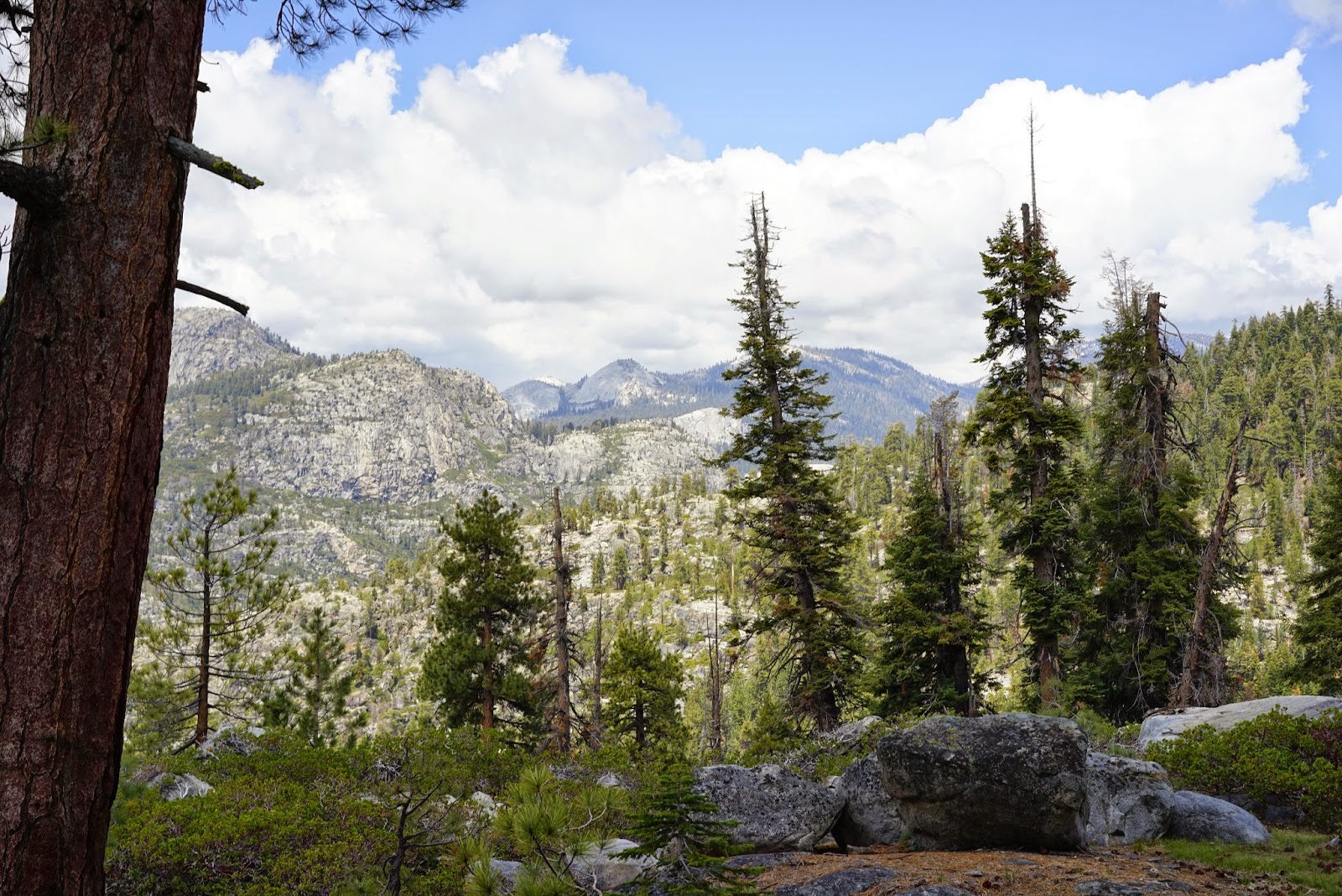
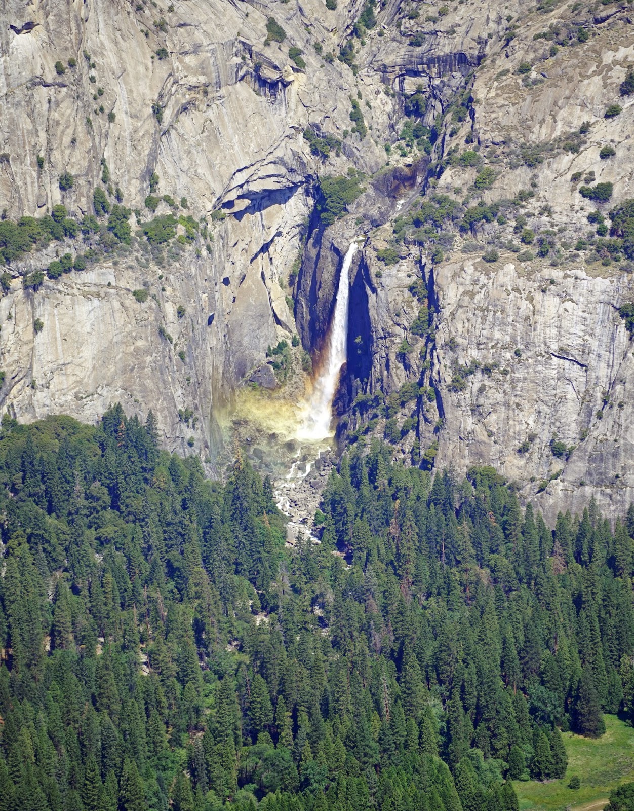
As an experienced backpacker, there were times when I felt a kinship with the author Cheryl Strayed. I too remember the panicky feeling of being out of water and not knowing where the next source would be. Of being tired but having to travel further to camp for the night because the water indicated on the map was only a seasonal flow.

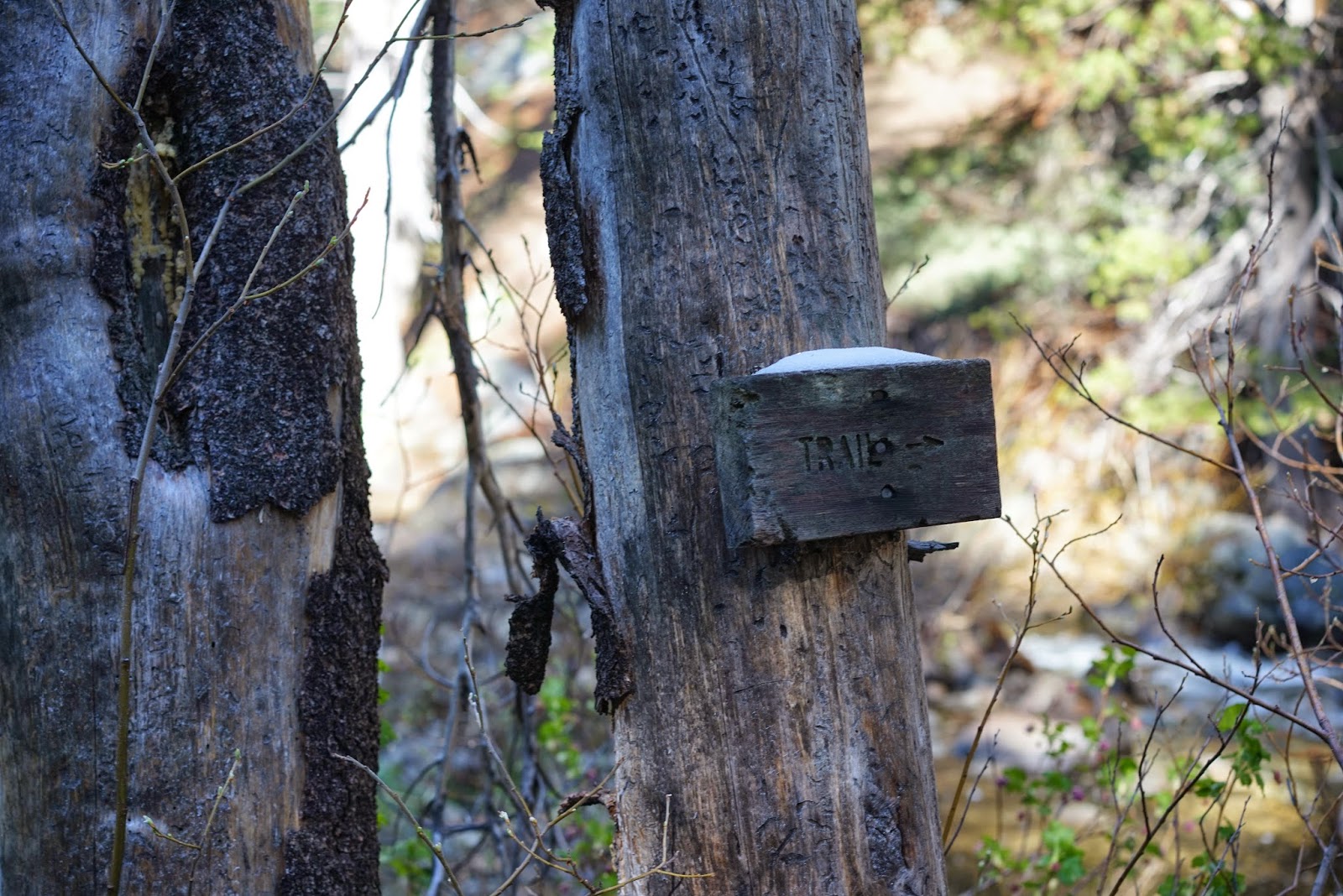
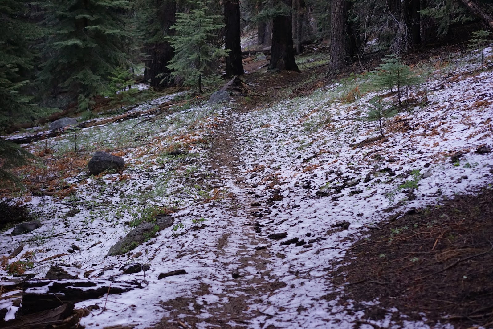
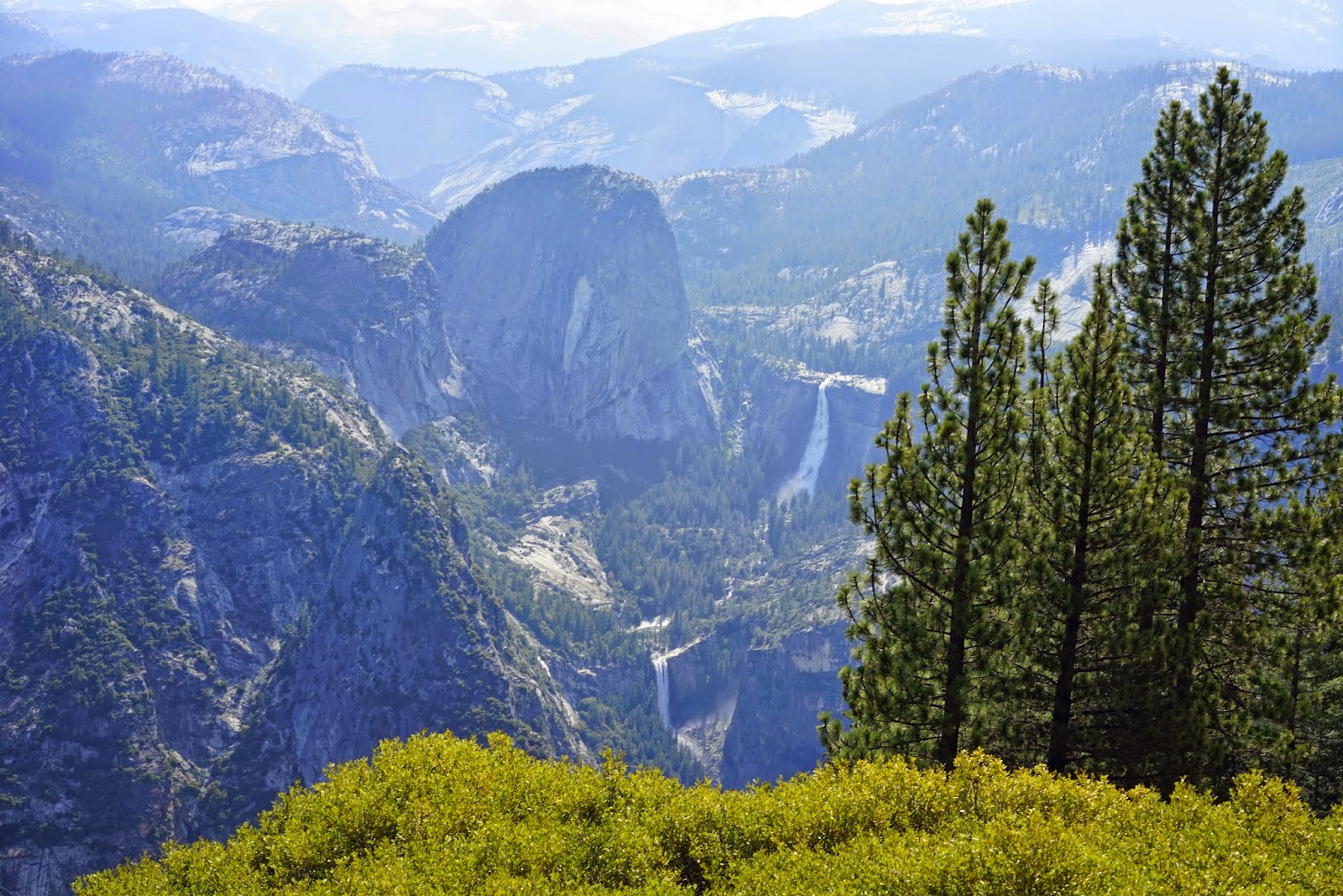
There is a more primal, sensual earned sense of self-efficacy navigating through the wilderness by oneself. Post holing through snow, not certain where the trail is can be a dilemma with part of you craving the destination and part of you wanting to backtrack to the certainty of a known location. Trusting your gear and trusting yourself is different than being killed by an ego that presses the fatigued body to a point of delusional exhaustion.

Her journey had the potential to be transformative. It is like so many journeys before with the ancient Telemachia as an archetype. It could have led to greater self understanding for the, “The Queen Of The PCT”. Yet, in the midst of the harshness of the trail, Strayed’s suffering seems to be her ever-present state of mind whether it is her physical discomfort or the pain of memories. She is toughened by the trail but she is not softened by it. Did it ever occur to her at the end that she was lucky to be alive with such poor preparation?

As I read her story of the trail interwoven with her childhood memories, the early death of her mother and her leaving her husband, there seemed to be self-absorption. I kept saying to myself, why doesn’t she stay with some of these fellow travelers? Why does she always press on alone?

I have read two books that remind me of her memoir. One was Gulliver’s Travels by Jonathan Swift. In the end the journey is wasted on Gulliver. In Jack Kerouac’s On The Road, there is the same hedonistic wandering with dubious moral anchoring. Kerouac and his friends were Hobos of sorts and one of the characters in her book insists on calling Strayed a Hobo too.

She says this at one point. “What if I forgave myself? I thought. What if I forgave myself, even though I'd done something I shouldn't have? What if I was a liar and a cheat and there was no excuse for what I'd done other than because it was what I wanted and needed to do? What if I was sorry, but if I could go back in time I wouldn't do anything differently than what I had done? What if I'd actually wanted to f*** those men? [Kindle Fire location 4541]

There is no doubt about the physical nature of her suffering on the trail since we are reminded on almost every page about her damaged feet regardless of boot sizes. I think she saw herself as an orphan survivor of her family and a survivor of the Pacific Crest Trail. She will inspire other lost souls to take her journey for one reason or another, many because it has become the thing to do. It is all the rage. Some will be even less prepared.


“It was my life-like all lives, mysterious and irrevocable and sacred. So very close, so very present, so very belonging to me.”  So alone.

Trail name "Padre"

Wednesday, May 20, 2015

Hiking The Woodchuck Trail Out Of Wishon Reservoir


Dale Matson
Click On Photographs To Enlarge


The Woodchuck trailhead is about a two-hour drive from Fresno on Highway 168 to Dinkey Creek Road in Shaver Lake to the McKinley Grove Road by Dinkey Creek. After crossing the Wishon Reservoir on the dam, the trailhead (about 6,700’ elevation) is about .4 miles further on the left. There is a bathroom available.

This was my first hike on the Woodchuck Trail and I had a sense of sadness since my former experiences with the Wishon area involved a search for a missing hiker who fell to her death and was found by the YOSAR search team on the third day of our search. I wrote about this search in my book “Seeking The Lost: Stories Of Search And Rescue”.

There have been afternoon storms in the higher elevations recently and portions of the trail were covered in about 2” of snow. No rain was predicted for the day of the hike. It was a chilly 29 F degree start with cloudless skies. As with most trails in the Sierra National Forest, the trail was littered with debris and fallen trees. This is somewhat unfair since most trails are a mess after the winter season.

My intent was to go to Woodchuck Lake (or Chimney Lake as a shorter plan B). I had reviewed the maps and read about the hike in a Sierra South hiking book. The distances were given as 8 miles to Woodchuck Lake. With an early start, I figured it would be a hard but doable push round trip. And this is where I question the distances from the book. Did the authors actually measure this hike or did they scale if from a topographical map? I used both a Suunto Ambit II and a Garmin Oregon and found the distances to be considerably farther. I never got to Moore Boys Camp, which was supposed to be about 6 miles from the start. I turned back at 6.52 miles by my Ambit, which is stingy with mileage and 7.5 miles by my Oregon. I guessed that I had missed the trail junction at the boys’ camp but when I downloaded my route, I had not even got that far yet. I hope the “Tom Harrison Maps” folks do a map for this area. They use a wheel to measure the distances. His maps are pretty dependable.

With several large trees across the trail and no real vistas, this was a bit of a disappointment for this solitary hiker. I spooked a small deer herd and realized that in an area where hunting is allowed, the animals are more timid than those in the national parks. Bugs were not a problem but I always carry bug spray. There were dependable water sources outbound starting at Woodchuck Creek.

Most of the outbound trail is climb and my Garmin indicated 2,537’ of elevation gain overall on my route. On the return leg, there is a hard climb on tired legs after re-crossing Woodchuck Creek. Once you reach the ridge that parallels Wishon Reservoir, the trail is civilized with gentle rollers. The best place I found for crossing Woodchuck Creek is upstream from the “trail” sign. There is another place further outbound where I just decided to wade the stream with no evident opportunity for a dry crossing.

This was a trial run for me since I plan on doing an overnight with my sons at Woodchuck Lake this summer. It looks very doable and I hope the sights will be better at the lake. For me, the Woodchuck Trail is mostly about destination not the view along the way.


 Wishon Reservoir

 Woodchuck Creek

 Snow Plants 

 Campsite Above Woodchuck Creek Far Side Outbound
 No Dry Crossing

 Seasonal Assurance Markers
 I Crossed Upstream From This Sign


 Bear and Coyote Track Together


 Frozen Water On Brush


 Trail Follows Road For Short Distance


Monday, May 18, 2015

Participants And Spectators In Life: RIP Dean Potter


Dale Matson


I never met Dean Potter but have seen his amazing exploits often on YouTube videos, read of his record setting ascents in the newspaper and magazines and watched him in the movie on the History of climbing in Yosemite, “Valley Uprising”. He will be remembered as one of the best rock climbers in the history of the sport. In a sense, it is rather ironic that he died BASE jumping (Building, Span, Antenna and Earth), not falling off Yosemite granite.

Dean is one example of many individuals that I admire. There are others like Orland Bartholomew and Norman Clyde Sierra Nevada adventurers. There are others like Mike Horn who circumnavigated the earth at the Arctic Circle and Helen Klein, who ran a 4:31 marathon at age 80. I ran with her for a time at the annual “Cool Canyon Crawl” as it was called then.

Galen Rowell wasn't just a wonderful photographer he was an adventure photographer. You can sense his presence in his landscapes. I remember meeting a group of female airline pilots who were making their annual trek up to Amelia Earhart Peak in Yosemite to honor this pioneer of flight. I remember a woman so terrified climbing the cables at Half Dome that she was crawling on her hands and knees. Her mustering that kind of courage made me forgot about my own fears and I finished it out after two previous failed attempts.

I read the obituaries daily since at age 70 there is a kind of survivor’s guilt that has set in. In at least one obituary a day there is a comment like, “He was a lifelong sports fan”, or "He lived to watch Dodgers baseball.” In my mind’s eye, I imagine someone sporting a cap and shirt with the team [fill in the blank] name. They also have the rear window sticker and license plate brackets. There is little else to say. They were born, they watched, dreamed, identified with the exploits of others and they died. They were primarily spectators. They are the majority. The stands are filled with hundreds and thousands of them. The playing fields in particular and life in general seems destined to accommodate only a few participants.

I am not and never was the caliber of the folks I mentioned but they provided the motivation for me to leave my seat as a spectator and become a participant also. Like Christ breathing life into His disciples, these folks exhaled and we took in what remained of the spirit of their lives. It was adequate for us. They extended human boundaries by simply doing what the voices in their heads called them to do. They had to ignore the fearful voices (for that is what courage is really about), jealous insults from spectators and threats from those who enforce proper conduct.

It is difficult to finish this because of the sadness I feel for Dean Potter, his friends and family. Even in death, he will still breathe out the life giving motivation for those who shared his passions. At age 43 he had already packed in two lives. Society needs these participants, those who push the boundaries, who incarnate the spirit of adventure and through their actions inspire us to follow even if only a safer and surer path behind them. Thank you.   


Tuesday, May 12, 2015

Glacier Point Road In Yosemite National Park


Dale Matson

Click On Photographs To Enlarge
Route To Sentinel Dome Off Glacier Point Road

From Fresno CA, Glacier Point in Yosemite is essentially the same time (2 hrs.) as Yosemite Village on the Yosemite Valley floor. From the junction at Chinquapin (elevation 6,000’) Glacier Point Road climbs away from the main road headed to Yosemite Valley and ends 15 miles further at Glacier Point.

In the winter, the road ends five miles from Chinquapin at the Badger Pass ski resort. The remainder of the road to Glacier Point is groomed as a ski trail. I have skied to Glacier Point more than I have driven there. Overnights are solitary and splendid. Wilderness permits for overnight are available at the ranger station near the lodge.  http://midsierramusing.blogspot.com/2015/01/winter-overnight-at-glacier-point-in.html

One could write a book and fill it with beautiful photographs about this lesser known destination. There are plenty of hikes off Glacier Point Road including, Dewey Point, Mcgurk Meadow, Ostrander Lake, Taft Point, the Pohono Trail and Sentinel Dome.

Today, I drove up early and got to the turn off at Chinquapin by 7:30am. Unfortunately the morning sun does not make for the best photographs. I stopped to look at where Bridalveil Creek goes under the road as it drops from its source at Ostrander Lake. My wife and I were married at the foot of the falls in the valley.

I decided to begin at Sentinel Dome. There is a parking area with potties at the trailhead. I usually go past this area and begin the descent to Glacier Point. In about a mile, there is a gated service road on the left as you round the bend. I park across the road in the dirt and walk up this road till I meet the trail from back by the potties. The last portion of the trail is a steep climb but not a long climb. A woman and her husband from back east were behind me as I was descending. Her husband had left her about three hundred feet from the top and she was fearful of going any higher. I talked her into going up with me and told her to keep her eyes on the back of my jacket. She was glad she overcame her fear and made the top of Sentinel Dome with its panorama of the park.


My photographs from there were probably two hours early and I might have been better off going the Glacier Point first. Anyway, the photographs are from Sentinel Dome, the Clark Range overlook (about half way between Badger Pass and Glacier Point), Washburn Point and Glacier Point. Go early since the parking area, while big, fills up fast as the morning heads toward noon. 

 Bridalveil Creek

 Half Dome From Sentinel Dome
 El Capitan Right Of Center

 Clouds Rest Above and Left Of Half Dome


 Mount Hoffman with North Dome On Left And Basket Dome On Right
 18mm Shot
Mt. Clark Left Of Center Mt. Starr King Far Right 
 Yosemite Falls
 Lower Portion Of Yosemite Falls
 Geological Hut At Glacier Point- I Slept There On Two Winter Overnights
   Nevada Falls-Bridge Is Evident
Vernal Falls Below Nevada Falls Liberty Cap Left Of Center