Dale Matson
Click On Photographs To Enlarge

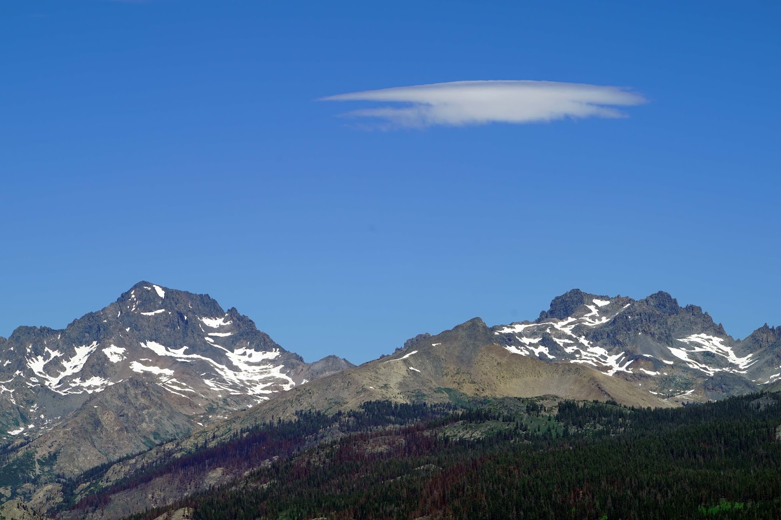
Mt. Ritter And The Minarets From Cattle Mountain
This was a day hike that was two
trips in the making. The first trip was a recon with Ben and the second trip
Ben, Sharon and I hiked to Cattle Mountain for a closer view of the north
central Sierra Nevada than our usual annual hikes to places like Potter Pass,
Kaiser Peak and even White Bark Vista.
This is a long 3-hour drive from
Fresno to the Mammoth Trailhead. Get a Sierra
National Forest map. I recommend a high clearance vehicle with 4-wheel
drive. We took Minarets road out of North Fork CA past the Redinger Lake
overlook and the “Mile High Vista” and continued past the turn off to Mammoth
Pool. Eventually the pavement ends and you come to the ranger station at Clover
Meadow. Continue past the Granite Creek Campground. After the road crosses
Granite Creek, veer right. (It is about 2 more miles to the Mammoth Trailhead) Continue
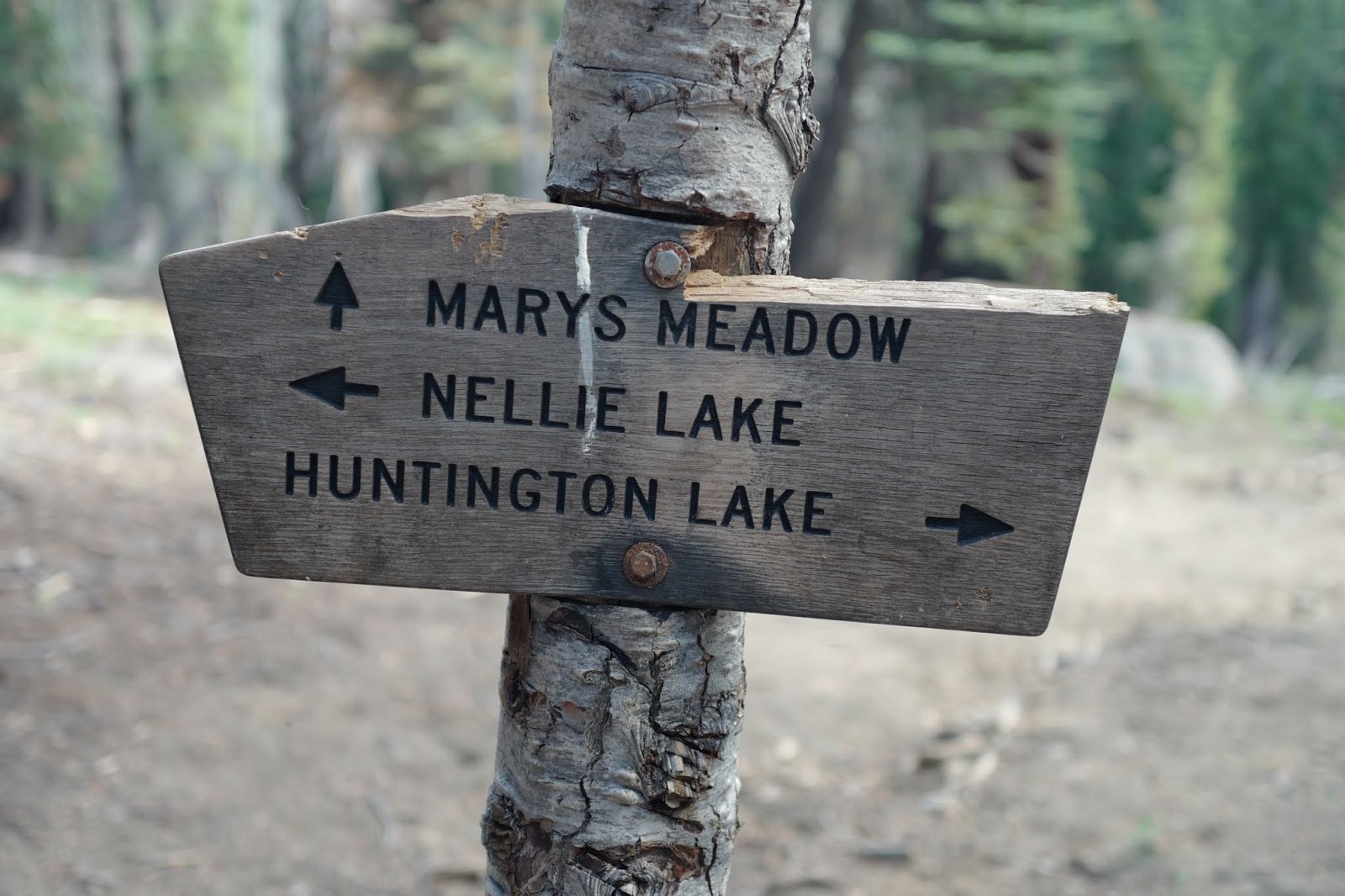
past the Isberg Trailhead. We parked by the Mammoth Trailhead sign and began
hiking the wrong trail which eventually hit the correct trail. If you walk back
50’ or so in the direction you came from you will see a sign stating “5S30X”. That is the Jeep trail that you will hike that leads
to Cattle Mountain. When you begin that trail there will be a junction about
100’ in. Go right. About a 3rd of the way there will be another
junction with a sign marked “Trail” follow that sign. The trail will begin to
descend some. We didn’t follow the sign and had to bushwhack back to the trail
You can see our circuitous route outbound and our correct return route which
was much more direct. The hike is about 6 miles round trip with an elevation
gain of about 900’ overall.
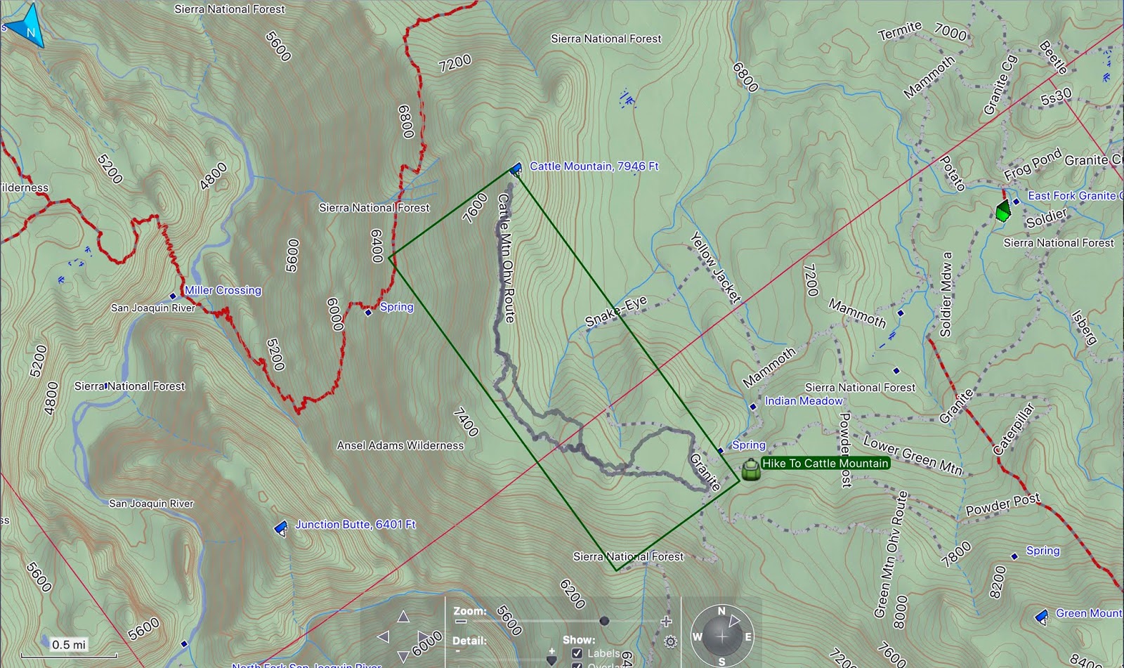
Hike Route In Rectangle

Drive From Ranger Station In Clover Meadows
Cattle Mountain has a unique
360-degree view. You can see Kaiser Peak to the North. Mt. Hoffman in Yosemite
and Mt. Lyle to the northeast. Banner, Ritter, the Minarets and Mammoth
Mountain to the east. To the southeast, you can see Red and White and Bloody
Mountains. There are other mountains that I could not identify. You can also see the north and middle forks of the San Joaquin River that join below Cattle
Mountain but cannot be seen at that point. The north fork headwaters are at the
base of Mt. Lyle and the headwaters of the middle fork are at Thousand Isle
Lake.
If you compare the line of sight
view of Cattle Mountain to Kaiser Peak, Cattle Mountain is only about 12 miles
from the Minarets and Kaiser peak is about 30 miles away. You can easily see the
building on top of Mammoth Mountain with unaided eyes from Cattle Mountain.
This is a waterless hike and there
are mosquitos. Bring someone along who is a good
navigator. This hike is deep into the Sierra National Forest wilderness. We
saw horse, mountain bike and jeep tracks. There is no way I would continue
driving over the knife edge near the top with any vehicle.

Clover Meadow Ranger Station

Previous Trip Recon

Park Here


No Way Would I Drive A Jeep Over This Knife Edge

Cattle Mountain Summit

San Joaquin River Drainage

Building On Top Of Mammoth Mountain

Mt. Lyle

Mt. Hoffman

Southeast (Split Mountain?)
Banner Ritter


North Fork San Joaquin


Southeast Red Slate Mountain?

Distances From Kaiser Peak, Cattle Mountain To Minarets and Mammoth Mtn.
The YouTube Video can be found here: https://www.youtube.com/watch?v=WhVwPC8ar4I&feature=youtu.be