Translate

Sunday, July 25, 2021

Mt. Givens Day Hike 2021


Dale Matson

Click On Photographs To Enlarge


Hike route

Easy to Moderate 5.5 miles round trip hike with about 1,400’ of altitude gain. Maximum altitude about 10,600’. Trailhead at White Bark Vista (about one mile off) Kaiser Pass Road at Kaiser Pass. The one mile or so to the vista requires a high ground clearance vehicle with a 4X4 preferred. You can proceed further south to park near the gate to the Dusy Ershim OHV Trail. The gate opens August 1st. Do not make the mistake of thinking you can continue driving on this trail. Some of the worst driving is at the beginning of the North to South section.  https://www.youtube.com/watch?v=_Pvh9cpWkHA

I was kind to my friend and fellow hiker who just bought a new Subaru Crosstrek. We took my Yukon 4X4 with the earned Sierra Pin Stripes. For those of you folks who just want a great view, and have a low ground clearance vehicle, park by the potties at Kaiser Pass and hike to the White Bark Vista.

Mt. Givens is a dry hike, so bring plenty of water and snacks. We were out for about 5 hours and had lunch on top. We also took lots of photos. The view area from Mt. Givens is a panorama beyond Banner/Ritter to the North all the way to Mt. Whitney to the South. Derek’ bought a “Peak Finder App” and it is really valuable and cheap.

After your first climb on the Dusy Ershim Trail you will come out of the woods and see a trail to the left. This is kind of a shaded shortcut. Your trail will eventually take you back to the D/E trail again. Eventually you will come to the place where you hike N.E. toward Mt. Givens and depart from the D/E Trail which heads South toward the Courtright Reservoir about 30 miles south.

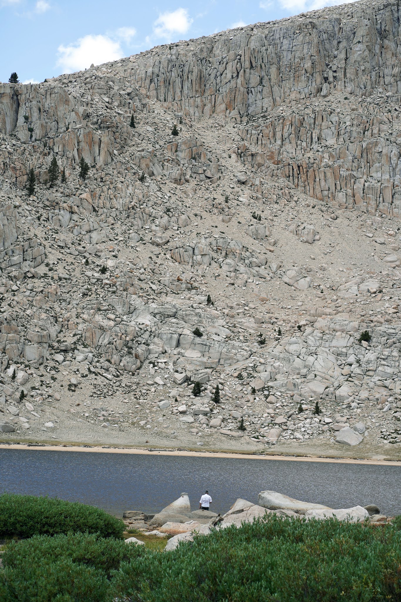
This part is a steep .5 mile off trail climb with some assorted occasional cairns/ducks to help guide you. I always take a GPS that points the way. Yes, there are both deer and cow tracks along the way. This is what I consider an easier and better alternative to viewing the Sierra Panorama from Kaiser Peak. Your will need to scramble up some boulders at the top. I leave my trekking poles below. It is not an exposed climb.

https://midsierramusing.blogspot.com/2021/06/kaiser-peak-hike-2021.html

I used a Sony A7C full frame camera with an 85mm 1.8 lens for all the photos. The photos of me were taken by Derek on his cell phone camera.

Author
Graveyard Lakes Center
Huntington Lake
Derek
Edison Lake
Mt. Goddard Center
Deer lake
Maybe Ershim Lake


Edison Lake


Banner Ritter Right Of Center


Mt. Jepson And 4th Recess Peak


Red Slate and Red And White Mtns Behind Edison
Kaiser Peak Center
Dog Tooth Peak And 3 Sisters
Red Top Mountain
Mt. Givens Transmission Tower Center


China Peak Ski Area


Monday, July 19, 2021

Chicken Spring Lake: Not Cottonwood Lakes Trail


Dale Matson

Click On Photographs To Enlarge


9.5 miles round trip with 1,300’ gain. Trailhead elevation about 10,000’. I would rate this trail as “moderate”, not as some call it, “easy”. 

Well, Derek and I had some good training. We did a day hike with full packs, fully intending to head to Fifth Lake but went on the wrong trail and went to Chicken Spring Lake instead (I’ll have more to say about this) We passed the sign on a tree to Chicken Spring Lake and it wasn’t even on my paper map. When we finally realized this, we were too far South on the wrong trail. We also realized there was no trail we could take to get us to the Cottonwood Lakes trail, so we soldiered on up the 1,000’ or so elevation gain on the switchbacks. 

We got to Chicken Spring Lake and decided to head back at 2:30pm. We each called our wives to let them know where we were and what our plans were. I showed Derek how to use the Iridium Sat Phone I always carry. We thought we would find a spot lower on the trail to sleep overnight and packed lots of water. 

Shortly after we made our turn onto the switchbacks again below Cottonwood Pass, we saw a helicopter and were told that a couple of people had to be brought out because of injuries. Not long after that, I fell and bloodied myself pretty good. I hit my head on a big boulder but it was a glancing blow. My right shoulder, arm and hand were scraped up pretty bad. Derek helped me to get back on my feet.

So, once again we decided to change plans and hike out. My legs were in good shape and we were out before 6pm. Derek suggested we try to find a room in Lone Pine and As I drove the 20 miles to Lone Pine, Derek finally was able to get a signal on his cell phone. On his second try, he talked to a clerk at the Best Western who said she had just got a cancellation for a room with two beds. Thank You Lord for lodging and watching over us on our hike and travels.

We got a takeout meal and ate in our room. I showered and Derek did an excellent job of bandaging my cuts using his first aid kit in his pack. We had a good early breakfast at the motel and drove home. We were back home by noon.

Afterword: We saw three different groups of folks who also thought they were on the trail to Cottonwood Lakes. And yes, there was a sign to that effect on the wrong side of the tree (inbound). We saw it on the way back. Yes, my photo at the trailhead did properly reflect where we started. I would suggest that a sign be put on a tree outbound near the trail junction to Cottonwood Lakes.

I took these photos with the Sony A7C 24mm 2.8 and 85mm 1.8 lenses. The photo of me sitting was taken by Derek with his camera phone.

Mt. Langley

Langley Left, Lone Pine Peak Center, Whitney Right
Derek Left Dale Right


Sign On Wrong Side Of Tree (Inbound)