Dale Matson
Click On Photographs To Enlarge


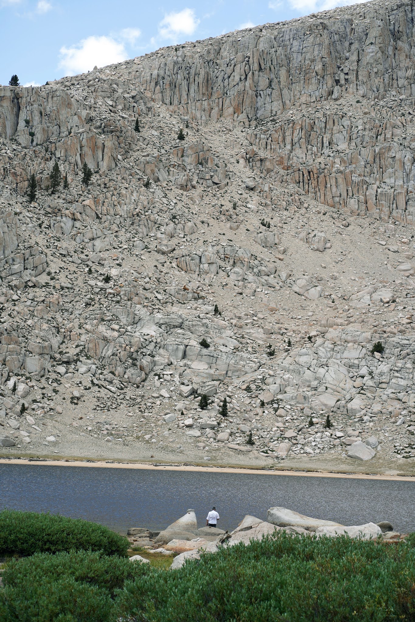
9.5 miles round trip with 1,300’ gain. Trailhead elevation about 10,000’. I would rate this trail as “moderate”, not as some call it, “easy”.
Well, Derek and I had some good training. We did a day hike with full packs, fully intending to head to Fifth Lake but went on the wrong trail and went to Chicken Spring Lake instead (I’ll have more to say about this) We passed the sign on a tree to Chicken Spring Lake and it wasn’t even on my paper map. When we finally realized this, we were too far South on the wrong trail. We also realized there was no trail we could take to get us to the Cottonwood Lakes trail, so we soldiered on up the 1,000’ or so elevation gain on the switchbacks.
We got to Chicken Spring Lake and decided to head back at 2:30pm. We each called our wives to let them know where we were and what our plans were. I showed Derek how to use the Iridium Sat Phone I always carry. We thought we would find a spot lower on the trail to sleep overnight and packed lots of water.
Shortly after we made our turn onto the switchbacks again below Cottonwood Pass, we saw a helicopter and were told that a couple of people had to be brought out because of injuries. Not long after that, I fell and bloodied myself pretty good. I hit my head on a big boulder but it was a glancing blow. My right shoulder, arm and hand were scraped up pretty bad. Derek helped me to get back on my feet.
So, once again we decided to change plans and hike out. My legs were in good shape and we were out before 6pm. Derek suggested we try to find a room in Lone Pine and As I drove the 20 miles to Lone Pine, Derek finally was able to get a signal on his cell phone. On his second try, he talked to a clerk at the Best Western who said she had just got a cancellation for a room with two beds. Thank You Lord for lodging and watching over us on our hike and travels.
We got a takeout meal and ate in our room. I showered and Derek did an excellent job of bandaging my cuts using his first aid kit in his pack. We had a good early breakfast at the motel and drove home. We were back home by noon.
Afterword: We saw three different groups of folks who also thought they were on the trail to Cottonwood Lakes. And yes, there was a sign to that effect on the wrong side of the tree (inbound). We saw it on the way back. Yes, my photo at the trailhead did properly reflect where we started. I would suggest that a sign be put on a tree outbound near the trail junction to Cottonwood Lakes.
I took these photos with the Sony A7C 24mm 2.8 and 85mm 1.8 lenses. The photo of me sitting was taken by Derek with his camera phone.


No comments:
Post a Comment