Dale Matson
Click On Photographs To Enlarge

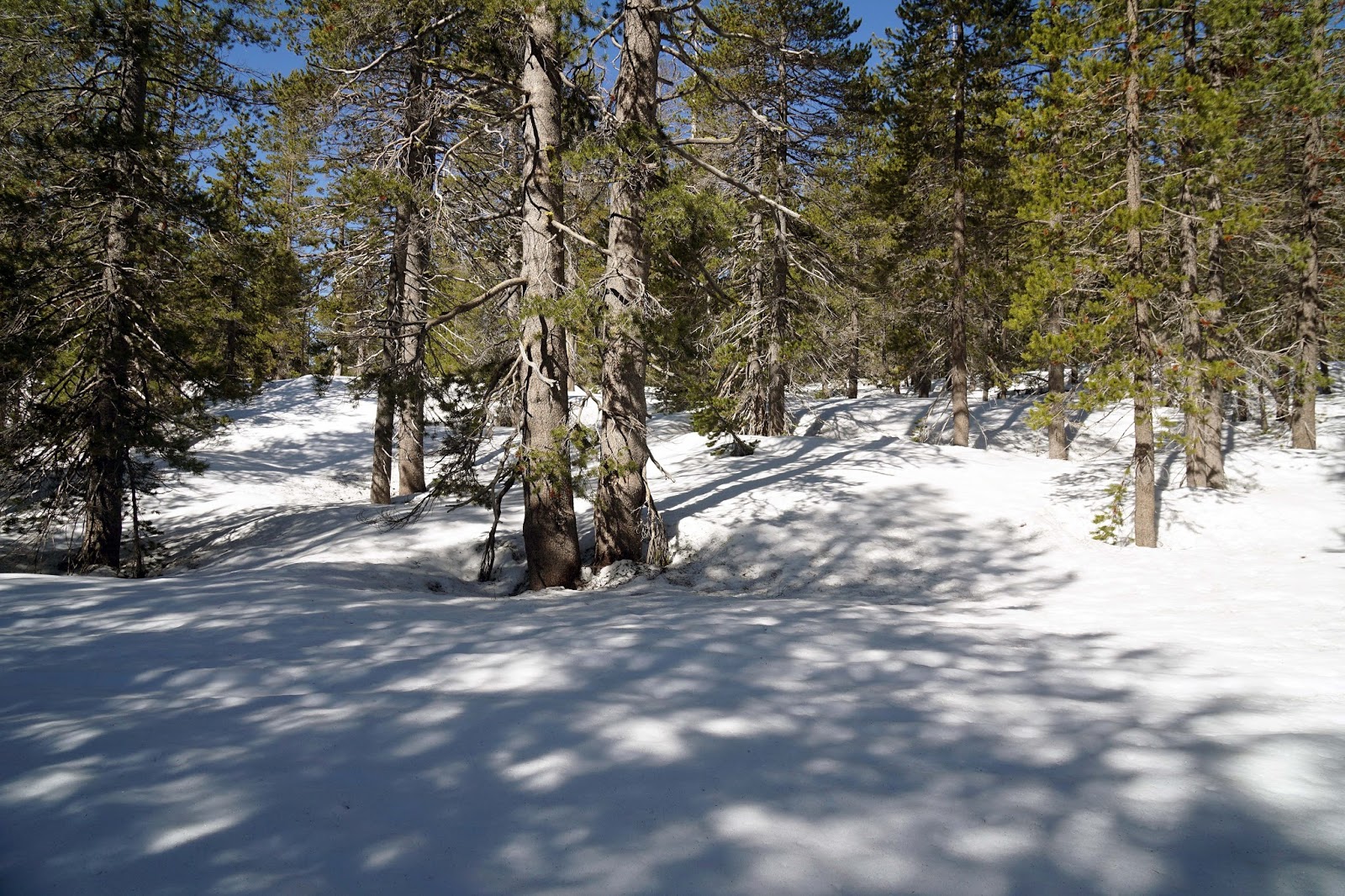
Hike Route
From Fresno we drove to Auberry then took Auberry Road to
Jose Basin Road near the Mono Wind Casino. We then took Italian Bar Road to
where the Million Dollar Mile Road intersects near the sign to Powerhouse #3. The
Million Dollar Mile Road got its name from the high cost per mile of building
it in the early 1900s. The drive took about an hour and 15 minutes. The
beginning elevation is about 1,900’. There is a small parking area near the locked
gate. Do not believe the sign on the gate
that reads, “Stevenson Falls 2.5 miles”.
From there Stevenson
Creek Falls is about 3.6 miles (7.25 miles round trip). The total elevation
gain round trip is about 700 feet. Our hike was about 4 hours with a half hour
lunch stop at the falls. As you approach the falls, you will see a small
waterfall in the distance at where you would expect Stevenson Falls to be.
Don’t be discouraged for this is another nearby falls, not Stevenson Falls that
remains hidden from view till you are almost there.
There is drinking water along the way if you have a means of
purifying it. Watch out for Poison Oak on the side of the road. The San Joaquin
River can be seen far below along much of the hike along the road. You can also
see a penstock which is a large metal tube used to bring water downhill to a
turbine. Powerhouse #3 is part of the Big Creek Hydroelectric Power Project
begun in the early 1900s with the fourth and final phase completed in 1987. It
is one of the largest hydroelectric projects in the world and supplies
electricity to Los Angles. There is an interesting history here. https://en.wikipedia.org/wiki/Big_Creek_Hydroelectric_Project
Stevenson Creek begins above and flows into Shaver Lake.
Many lost hikers find themselves descending the Stevenson Creek drainage and
winding up at Shaver Lake. From Shaver Lake the creek flows about four miles
and then empties into the San Joaquin River. The magnitude of the Stephenson
Creek Falls depends on how much water is being released from Shaver Lake. At
this point you are above Redinger Reservoir and below Mammoth Pool Reservoir.
I seem to remember a friend and I taking this trip on
bicycles which would probably be easier than hiking it. This would also make a
wonderful running route for the young and fit. There is an occasional Southern
California Edison vehicle traveling along this route.
There is a tunnel along the way and another near the falls.
I don’t know how deep either one is or why they were excavated.
The falls is a great lunch stop but not the best time for
photography. Wide-angle lenses produce the best photographs here but, facing
the waterfall, you are looking directly at the sun and there is a tendency for
‘lens flare’. I used a Sony A7R2 camera. The outbound shots of the river were
with a native Zeiss Batis 85mm 1.8 lens. The shots at the falls were with an
adapted Leica 28mm 2.8 and Zeiss Batis 18mm 2.8. The remaining inbound shots
were with the Leica lens.


That Is Not How I Usually Wear A Cap


Smaller Falls Visible Before Stevenson Creek Falls


Mill Creek
There is a video slide show with some video clips also here: https://www.youtube.com/watch?v=R3fy23ZnYJA
https://www.youtube.com/watch?v=asLMfMXDA_M&t=34s
https://www.youtube.com/watch?v=asLMfMXDA_M&t=34s