Dale Matson
Click On Photographs To Enlarge

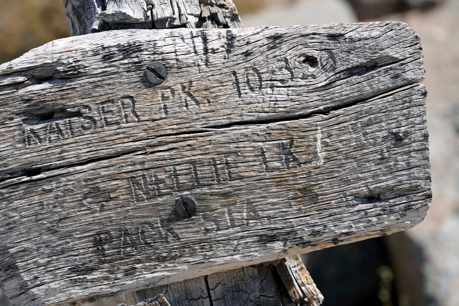
Hike Route
I know this is beginning to sound a
lot like the movie “Groundhog Day” but this was my final trip up. The hike is over 11miles round trip with 3,200’ of
gain. There are additional particulars from the 2016 hike here:
Ok, so what
justifies this latest trip? I needed the conditioning, wanted to see what the
Lions Fire is doing and use a relatively new Zeiss Batis 135mm 2.8 lens for my
Sony A7R3. Additionally, other than the Lions Fire, the air is pretty good
again and the 6:30am start temperature at about 7,200’ was a comfortable 40
degrees.
Here are a few
rules of thumb for this time of year for this out and back hike. The mosquitoes
aren’t bad, there is no access to treatable water along the trail other than
the small creek accessed about 6/10ths of a mile outbound. I had about 2.5
liters of water (over 5 lbs.) with me and that was about right. Snacks/food are
needed too. Think of the hike being in about five parts and 12 miles total. It
is about 3 miles and 2,000’ of gain to College Rock. It is another 3 miles to
Kaiser Peak and 1,300’ of gain to the top at about 10,330’) It is 3 miles back
to College Rock, .75 miles back to the Huntington Lake overlook on the trail
and a very long 2.25 miles from there back to the trailhead (and your vehicle
parked below the pack station).
I saw two
groups of deer along the trail but they were faster than I could draw my camera
from its belt holster. I also saw a perched hawk this year and actually got a photo.
The lakes were generally full of water except for Mammoth Pool Reservoir which
is way down from capacity.
Two sisters
Dorothy and Nancy, who were vacationing from SoCal started at 8:30 am and
caught up with me inbound the last quarter mile. I was out about 9 hrs. which
is way too long for this distance. My Suunto Ambit 3 gave me the maximum (120
hours) recovery time from this hike. The ladies had almost caught up with me
near Kaiser Peak but ate their lunch there too. When we got back to our vehicles,
they kindly offered me a cold diet cola. Thanks! With their permission, I took
their photos and included them too.
The smoke and
the source of the smoke was obvious. The smoke obscured the view of Banner
Ritter and flowed south to Mammoth Mountain. The rest of the air was the usual
level of “moderate”. The Lions Fire estimated containment date has now been
postponed from 25 August to September 7th. I worry about this
particular fire because access is very limited.
My drive home
required the usual large Snicker’s Bar, small bag of chips and a diet cola. All
of course are PPED’s (post performance enhancing drugs).


China Peak Ski Area Above Huntington Lake

Curious Hawk

College Rock Where The Mountains Begin To Emerge

Mt. Goddard Center

Mt. Gabb Center Left

Trail leading To First Of Two False Summits


Mammoth Pool Reservoir


Smoke from Fire Reaching Mammoth Mountain

Banner Ritter Obscured By Smoke


View Farthest North To Yosemite


Edison Lake Below The Vermillion Cliffs


Huntington Lake From Near The Top

Mt. Goddard And LeConte Divide From Peak

Sunrise Over The Sierra National Forest On My Way To The Hike

View To The Far South- Possibly Mt. Whitney
No comments:
Post a Comment