Dale Matson
Click On Photographs To Enlarge

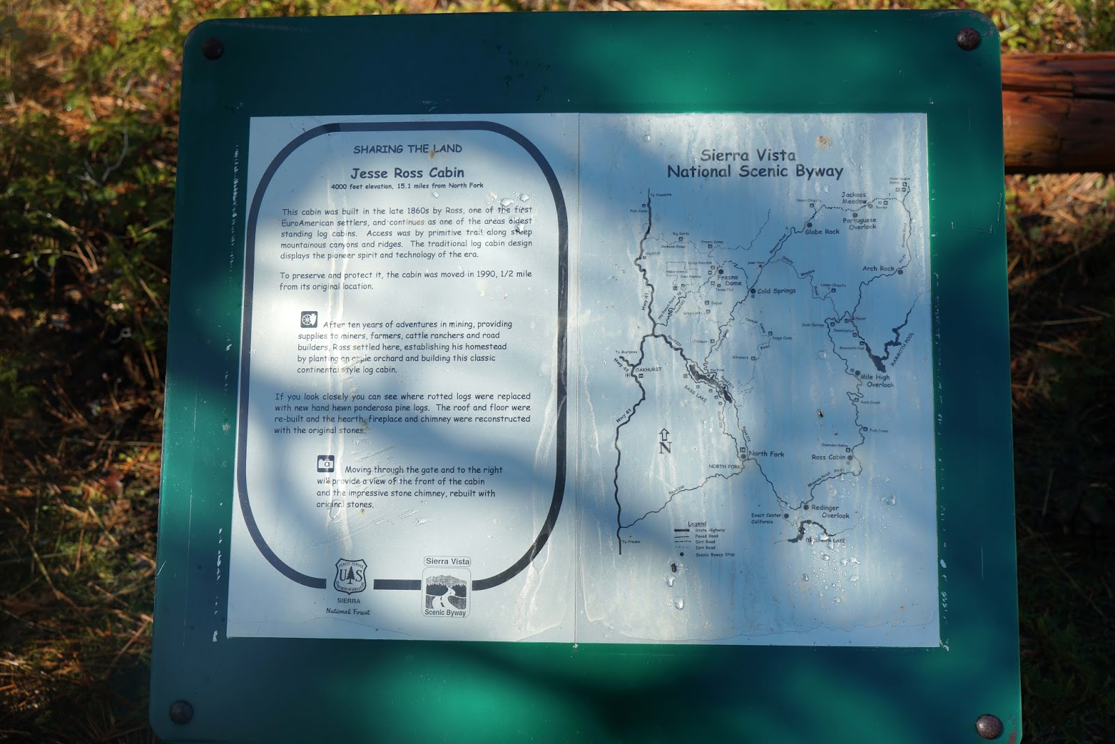
Redinger Lake

San Joaquin River


Spring Green North Of Fresno On Highway 41


Mammoth Pool


To get to North Fork
beginning from Fresno, take the 41-freeway north to Road 200. Follow it to
North Fork and keep driving, as the road becomes road 225. Turn left on Forest
Service Road 81 (also known as Minarets Road and Mammoth Pool Road. Set aside
at least a half a day for this trip.
I discovered the scenic byway on a bicycle ride I did called
the Grizzly Century. The 100-mile ride with 10,000’ of elevation gain begins
and ends at North Fork High School on Road 225 out of North Fork. The lunch
stop area is at a place called “Mile High” and the view is magnificent as you
look east across the Sierra toward Mammoth Mountain.
This road is not plowed in winter but in the summer lots of
folks drive to Mammoth Pool resort for camping and fishing. The road parallels
the route of the San Joaquin River upstream first to Redinger Lake (elevation
1,400’) and higher to Mammoth Pool (3,330’). The final lake formed by the
inflow of the San Joaquin is the largest, Millerton Lake at an elevation of
561’. Each of these man made reservoirs is used for recreation, flood control,
irrigation and the production of electricity.
It is common to think of the San Joaquin (the second longest
river in California) as a single river but it is actually made up of three
separate forks with different headwaters high in the Sierra Nevada. The North
Fork of the San Joaquin headwaters is formed near the southeast base of Mt.
Lyell in Yosemite. The Middle Fork of the San Joaquin begins at Thousand Island
Lakes near Banner peak in the Ritter Range. The South Fork of the San Joaquin
has Martha Lake west of the LeConte Divide near massive Mount Goddard as it’s
source.
The Middle and North Forks join together and then join with
the South Fork above Mammoth Pool in the Ansel Adams Wilderness. As one looks
up the San Joaquin River above Mammoth Pool there are several granite domes.
As I drove up toward Mile High I saw two large groups of
deer with a mixture of bucks and does. They were much more skittish than
national park deer since deer hunting is allowed in the Sierra National Forest.
The French Fire of 2014 blackened much of the area above Redinger Lake along
either side of the road. The snow and
rain began falling, as the tail end of a winter storm was moving out. The
surface conditions and variable visibility stopped me short of Mile High. I
don’t think there would have been much of a view with the clouds moving up the
river valley and filling it with a thick mist veil.
My photographs were taken with a Sony A7R2, an adapted Sony
A mount 70-400mm lens, and adapted 100mm C/Y Zeiss lens and a native Sony Zeiss
E mount 24-70mm lens. I couldn't resist taking the photograph of the Sierra from highway 41 near Children's Hospital.


Sierra Nevada East Of Fresno
Sharon and I walk our dogs Susie and Duke along the San Joaquin at Woodward Park near our house.
ReplyDeletehttp://midsierramusing.blogspot.com/2013/12/woodward-park.html
Art Sallee sent me this via email,
ReplyDelete"North Fork was a project I was privy to when I was active as a volunteer for the Forest Service. An employee of the F.S., full blooded Indian, was born and grew up in North Fork, volunteered to spend a day with us hiking the area and showing where villages were once located and occupants had moved on to other areas to set up villages. Many of the objects used by the Indians and left behind as they moved had been pilfered by hikers, etc, but rocks they piled up for benches, the holes in the rocks for grinding, the rectangular rock formations they used to claim their own sleeping/resting area……the way it was explained and laid our for us was almost like we went back in time and was there with them."