Dale Matson
Click On Photographs To Enlarge

Sony RX1R
Fresno California area residents are blessed to have the one
half million acre-feet capacity Millerton Lake only 15 miles away. It has over
40 miles of shoreline. We are also fortunate to have the San Joaquin River that
is the source of Millerton Lake, continue to flow below the dam and through
Fresno on its way to the Pacific Ocean.
There are running, walking and mountain
biking trails in Woodward Park that run along beside the San Joaquin. With the
river comes the wildlife also including coyotes, bobcats, deer and an
occasional mountain lion.
I was eager to try out my new (used) Sony RX1R. It was back
to a fixed lens 35mm f2.0 camera and some of the shots were cropped to
enlarge certain features. The shots, while reduced in size for uploading and
occasionally cropped have had little retouching in Photoshop. An ounce counter
such as me appreciates the one-pound full frame camera and it will be a great
addition to my backpacking gear as a back up camera to my Sony A7R2. The lens
also has a macro feature, which I will probably use infrequently in landscape
photography.
I wanted to get some photographs near the outlet to the dam.
The water is released from the lake in three directions. Some irrigation water
heads south in the 152-mile long Friant-Kern Canal. Some irrigation water heads
north in the 36-mile Madera Canal and the remainder of the released water goes
back into the San Joaquin River. It is hoped that enough water will reenter the
San Joaquin to restore Salmon habitation.
Today as I was photographing the area below
Friant Dam, I saw four Kayakers putting in below a parking area in Friant. I
later learned they were coming out at the “Sportsman’s Club” where they must
have placed return transportation. My wife and I have ‘floated’ the section
from Lost Lake to the Sportsman’s Club, which is just north of Fresno.
Not long after the San Joaquin begins its flow again below
Friant Dam, it widens out and forms what is referred to as “Lost Lake”. The
County of Fresno has a park there with an entry fee of $5.00. It is well
maintained and heavily used on the weekends and evenings. There are plenty of
fishermen, picnickers, and folks wading in the cold river water. Because the
water is released from the bottom of the dam, Millerton Lake is actually warmer
than Lost Lake.
At the end of the parking area at Lost Lake, there is a
nature trail that runs alongside the river as it heads west. The trail is
roughly .75 miles outbound and there are opportunities to walk to the river
away from the trail. As I walked it today I was impressed with the vast amount
of wildlife supported by the river ecosystem. There was some evidence of urban
graffiti that I chose to ignore. This being a Monday morning, I had the trail
to myself and enjoyed another section of the San Joaquin River, which is an
artery that brings life to an arid area and agriculture to the Central Valley.

Kayakers Putting In The River In Friant

Friant Dam


Hawk In Center Of Picture
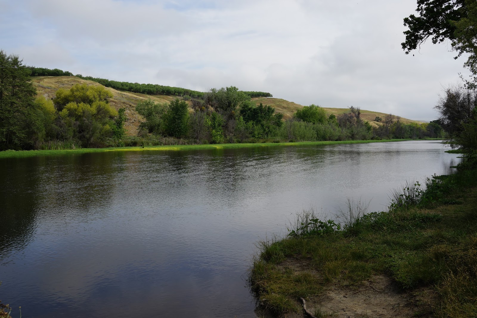
Orchards Above On The Madera County Side Of The River

Picnic Area

Duck Trail In Water


Seasonal Lupine On Hill Above

We Usually Put Our Kayaks In Below This Rapids


Hike Route


Here They Are Again


Look Alert! He's Waiting To Cull The Weak And Injured


On Its Way To The Ocean
No comments:
Post a Comment