Dale Matson
Click on Photographs To Enlarge

I recently spent some time near the Kerckhoff and Redinger
Reservoirs. http://midsierramusing.blogspot.com/2017/02/sights-along-san-joaquin-river-from.html
I also reported on the San Joaquin River Gorge in 2016. http://midsierramusing.blogspot.com/2016/03/san-joaquin-river-gorge.html
This year was different because of the record rain and
snowfall in the Sierra Nevada. The river gorge area is narrow and I anticipated
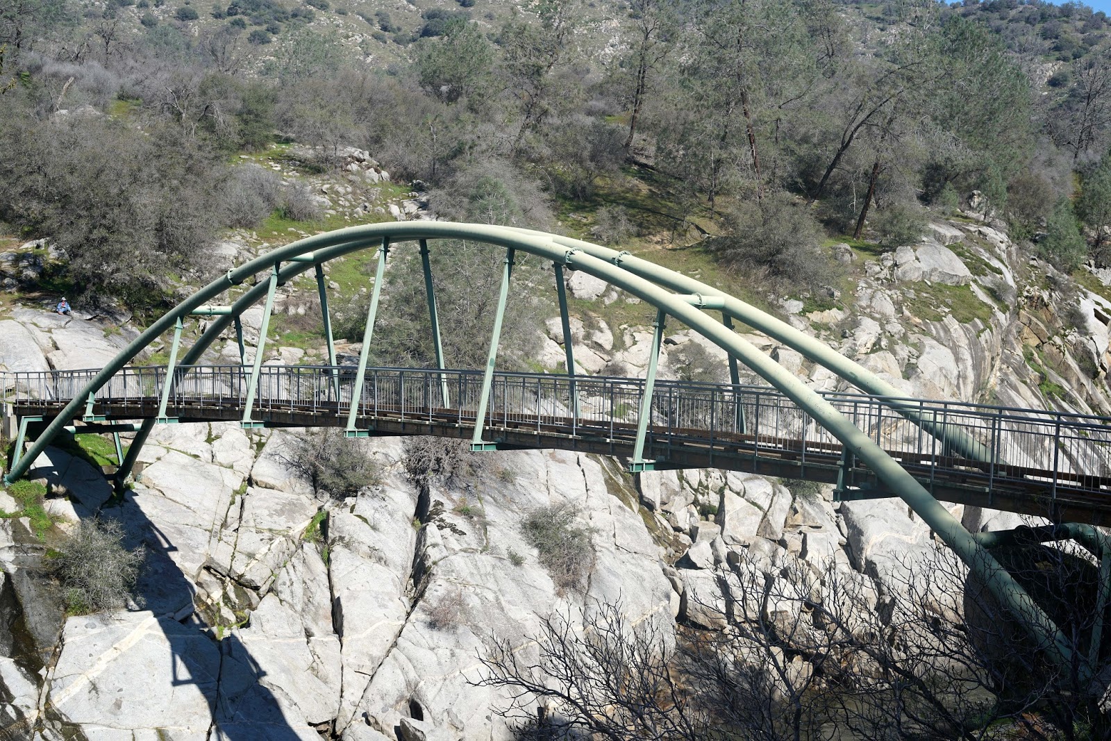
quite a sight standing on the magnificent footbridge that crosses the river. I
don’t believe we have seen the peak flow yet however since we have yet to see
the spring rains combined with snowmelt.
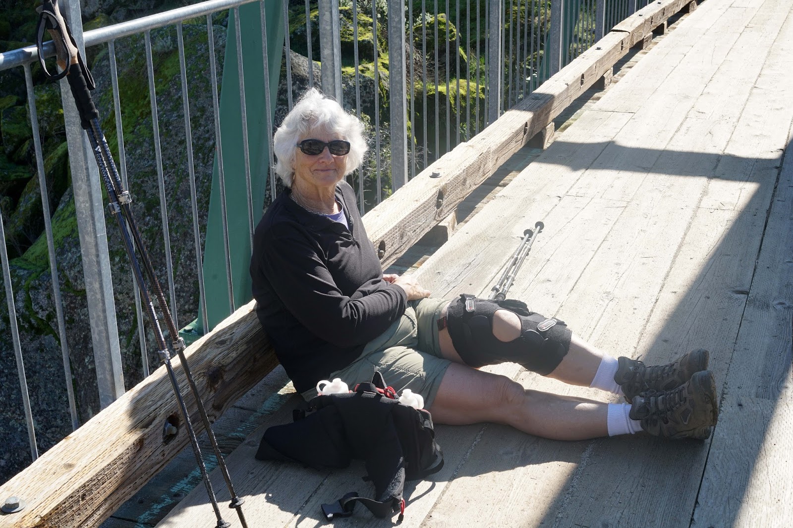
This year was more difficult since I am recovering from
anemia and had to take the climb back out rather slow to keep my heart rate
below 110 (the guideline set by my cardiologist). The route from the trailhead
off Smalley Road is about 2 miles round trip with a descent outbound down to
the river of 367 feet. The trailhead is about 1,000’ in elevation, which is
actually higher than the Kerckhoff Reservoir upstream. The Kerckhoff Powerhouse
is just upstream from the bridge and seen in one of the photographs. This is
the area near where the Temperance Flat Dam if built would raise the water level
considerably since Temperance Flat is just a bit further downstream. There are seasonal creeks that cross the trail and eventually hit the San Joaquin. There are also seasonal waterfalls visible from the trail.
My wife accompanied me and carried extra water for me. To
keep the weight down, I only brought my Sony A7R2 with the Zeiss Loxia 50mm
lens. This combination carries very nicely on a belt holster.


A Slide show with video clips is available on YouTube here:
No comments:
Post a Comment