Translate

Thursday, June 6, 2019

Huntington Lake 06-05-19


Dale Matson

Click On Photographs To Enlarge

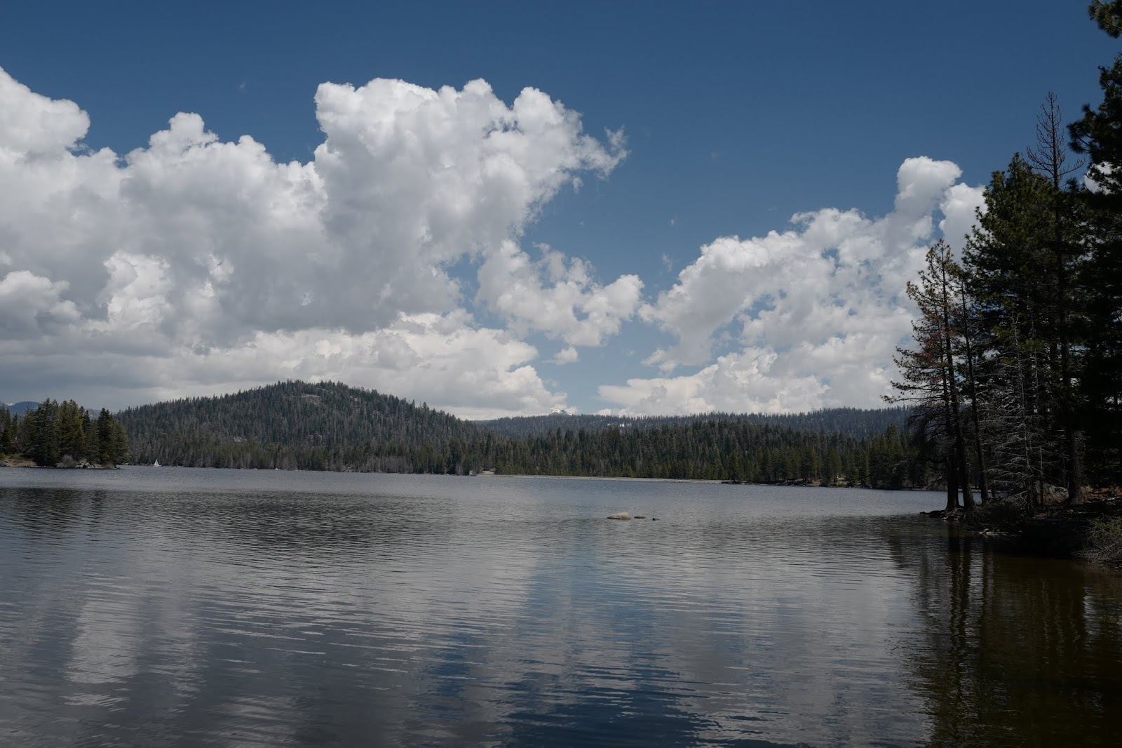
From The SW End Of The Lake


Huntington Lake is about an hour and a half from Fresno CA. It’ elevation is about 7,000’ and it usually freezes over in winter. It is another gem of a Sierra Nevada lake. There are several campsites along and above the shores of the lake. I was there yesterday and enjoyed the 73-degree weather while Fresno reached 103 degrees.
When winter arrives, the resorts shut down and the cabins are closed. We had another big snow winter and most of the resorts are not operational yet even though it is after Memorial Day.
There were scores of loggers clearing the dead pines in and around the campgrounds. The drought and pine bark beetles killed many of the pines even at this elevation. Most of cabins are on U.S. Forest Service land so it is a periodic lease arrangement for cabin owners. When Bruce Babbitt was Secretary of the Interior under President Clinton, there was talk of not renewing the leases.
Because the lake is 5 miles long and the winds at this altitude favor sailing, there are several regattas held each summer.
Anyway, it was a pleasant day and an opportunity to use my Sony A7R3 and 16-35mm 2.8 GM lens primarily. I also used my Leica Q that has a fixed 28mm 1.7 lens. As you look across the lake, you can see the China Peak ski resort is still covered in snow.


Wednesday, May 29, 2019

Million Dollar Mile Revisited


Dale Matson

Click on Photographs to Enlarge

Hike Route

In my previous posting, I covered the 8-mile round trip hike to the Stevenson Creek Waterfall and bridge. During our hike we had two observations of Golden Eagles but with a wide-angle landscape lens, it was futile to even take a photo. I believe there are nests along the San Joaquin and that it is a kind of flyway.
With this in mind I decided to walk up the road beyond the gate for a couple of miles (400’ gain) with my Sony A9 and 100-400mm GM lens. I also added a 1.4X TC which extends the reach considerably with little weight gain, a loss of one stop of light but no loss of sharpness.
I wanted to get up the road far enough so I could sit and get a good view up and down the San Joaquin River far below in the gorge. I initially tried a finger of land that did no work out b/c there was so much brush obscuring the view. You can see on the map where I initially went off the road. I went further up and took advantage of an area filled with tailings from an excavation that gave me a good view.
I sat for about 3 hours to no avail but got some more landscape shots from 135mm to about 600mm. It is quite a contrast when compared to the 16-35mm GM lens I used on the previous trip.
This experience reminds me so much of my late father, the fisherman, who patiently waited for hours for the fish to bite… different venue, same disposition.
        
 Some Views Along Jose Basin Road
 Creek Flowing Below One Lane Bridge On Jose Basin Road


 Jose Creek From Italian Bar Road

 Jose Creek Flowing Under Bridge On Million Dollar Mile Road
 San Joaquin River Near Power Plant #3


 Helicopter With Litter
 Cows Grazing Across The River


 Return View Of Jose Creek
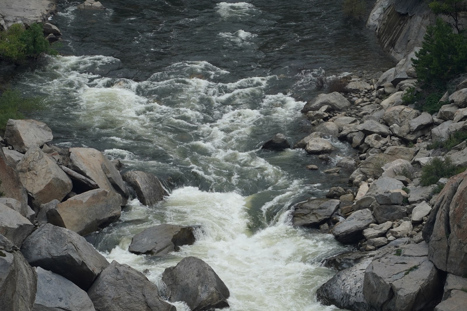
 San Joaquin River From Jose Basin Road Telephoto

Rugged Countryside


Combined video of Jose Creek and San Joaquin River