Translate

Friday, September 5, 2014

Overnight Hike To East And Reflection Lakes: Kings Canyon


Dale Matson

35 miles and 6,400’ gain overall

I first saw a photograph of Reflection Lake on the cover of a Kings Canyon hiking guide by Mike White. From that day on, I have wanted to visit. I believe East and Reflection Lakes are two of the most beautiful lakes in Kings Canyon National Park. I had been as far as East Lake on a day hike but this would require an overnight since it was 35 miles round trip. The sign in Junction Meadow really is twelve miles from Road’s End. After the early morning 2.5 hour drive from Fresno, I picked up my wilderness permit at Road's End and was on the trail about 7:30am.

 Click On Photographs For A Larger image
 Bailey Bridge Just Past Mist Falls Trail
One Of A Close Grouping Of Bridges Before The Dreaded Switchbacks

I have been on the Bubb’s Creek trail enough times to anticipate the steep climb of over 1,000’ on the switchbacks. One chronic problem is the swarms of gnats and mosquitoes that add to the misery of the climb. There is a good view up and down the canyon and one can see the Sphinx most of the climb. There is another section with lots of stairs that climbs another 1,000’ before Junction Meadow.

 Sphinx
 Canyon View From Switchbacks
Bubbs Creek

At Junction Meadow I headed south about 2pm on the trail that follows East Creek upstream.
I was a bit surprised that even in the beginning of September in another drought year, Bubb’s Creek crossing could have taken me off my feet had I not been careful. It was another 3 miles to East Lake with over 1,000’ of additional climb. The trail is distinct and well traveled with good access to water. There is even a nice creek that crosses the trail for water resupply past mid way that comes from an unnamed lake.


 Bubb's Creek Crossing
 East Creek Crossing


 East Lake
Mt Brewer Left Of Center

There is a sign on the trail to indicate that you are at East Lake. At that point, there is a use trail leading down and to the right that will take you past excellent camping sites and a bear box. You can also drop down to the lake for a good photograph location. The trail continues past the sign and along the lake there are additional camping locations and a bear box on the south end of the lake also.

East Lake Looking Back On Climb To Reflection Lake

After the south end of East Lake there is a small stream crossing. This steam comes from the east. At this point you follow the “trail” up the canyon on the east side of East Creek. I believe that calling it a trail does not make it one. The 500’ two mile climb is across large sections of bare granite and two large boulder fields. I lost the trail most of the way up and down for at least a mile. Just keep in mind that East Creek is to your east. Ascending you can see East Lake as a reference point.

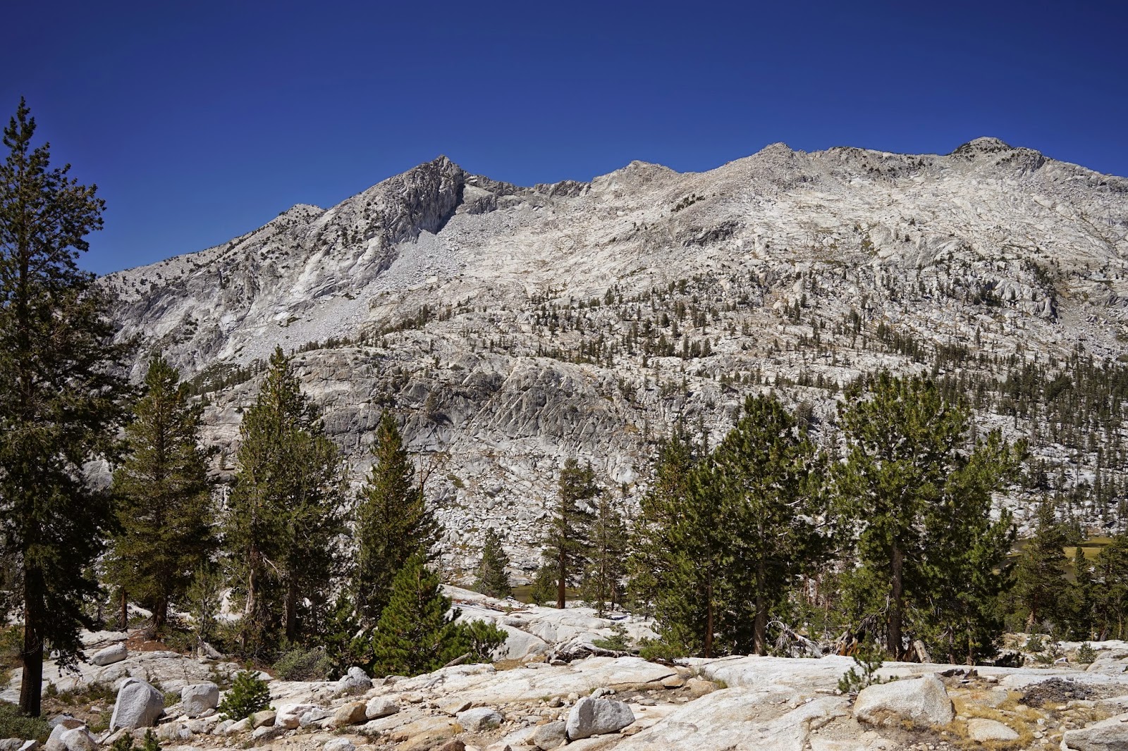
 Reflection Lake


Mt Jordan
I arrived at Reflection Lake at 5:30 pm and had intended on staying the night at Reflection Lake. The light was not the best for photographs and there did not appear to be any campsites. I headed back to East Lake and got there about 7 pm to set up camp. I broke camp and left at 7am. 20 miles the first day made the second day of 15 miles not seem so long and I arrived at Road’s End at 2:30 pm the following day. The sights were well worth the effort but maybe a four day three night trip would suit others better.

 East Lake At Sunrise
 Getting Ready To Break Camp Following Morning Coffee
There are more graphics on YouTube here:

Tuesday, September 2, 2014

Detective Robert McEwen Retires From Fresno County SAR Team


Dale Matson
Deputy Robert McEwen

Click On Photographs For A Larger View

Cover Of Seeking The Lost: Stories Of Search And Rescue
Robert Facing The Camera

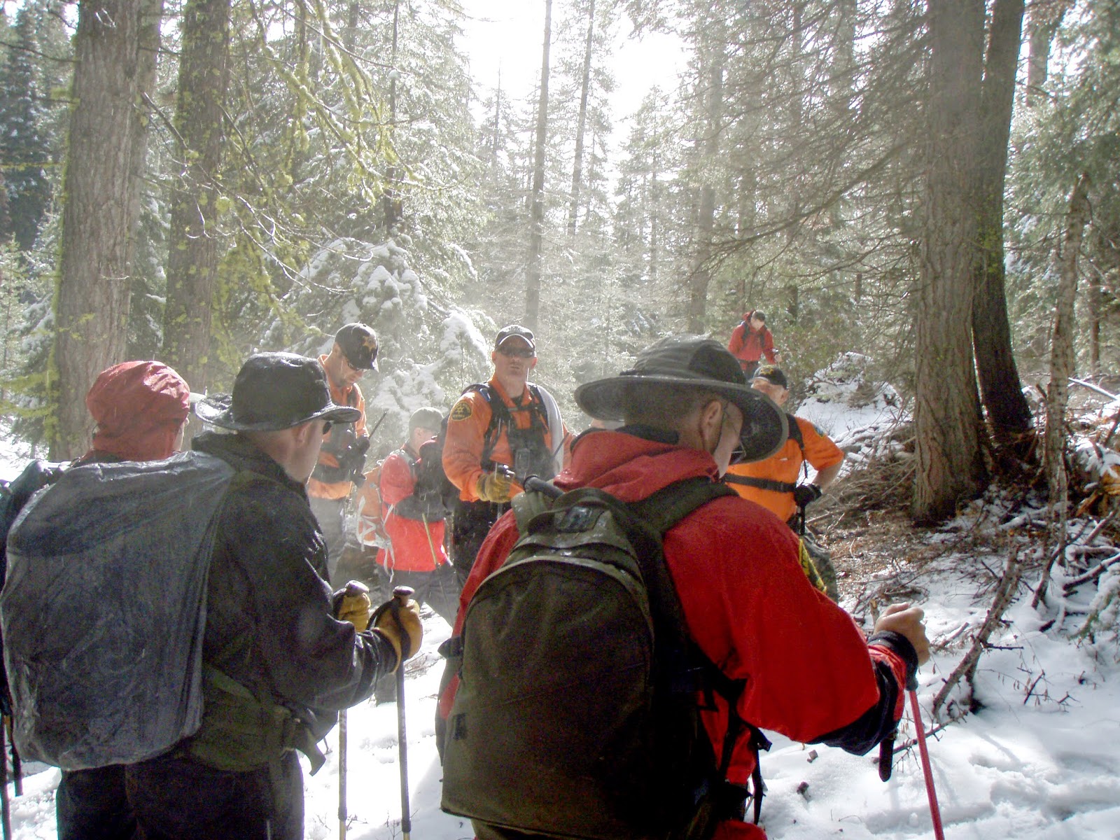
I met Robert when I began as a civilian mountaineering unit volunteer attached to the Fresno County Sheriff’s Office Search and Rescue Team about ten years ago. When I think of the searches I have participated in, Robert has been my unit leader more often than anyone else. I am glad for that because he has been a joy to work with. I only wish I had his navigational skills. He has always been patient with team members who could not move through the brush with the same speed.

Robert has been a “Go to” deputy and when there was a callout, I always expected to see him when we gathered together at the Command Post or some parking lot before we caravanned to another area for a mutual aid search. Robert always has a positive attitude and team spirit. I have seen him continue searching with a torn groin muscle and once with an eye injury caused by a tree branch. Robert is a wilderness MacGyver completely at home day after day in the woods. If I were in a survival situation, he would be the one person I would trust to get us out.

Robert is a man of faith who always respected me as a clergy person. He would sometimes swear and then say immediately, “Sorry Padre”. This did not make me immune to his quick humor however. I ran into him in a clothing store once and pointed to a shirt that I liked with lots of pockets. He asked if I might have trouble remembering which pocket I had my nitroglycerin in if I were to have a heart attack.

Robert was wounded in the line of duty and received the U.S. Marshall’s purple heart in 2014. He also received the medal of valor from Governor Brown prior to that. http://gov.ca.gov/news.php?id=17218.

I am sad that this ends a chapter in both of our lives but am blessed to know Robert. He is also a humble man that would never promote himself. I am honored to write this as a partial record of his service. Here are a few photographs I have taken of Robert over the years on searches. I used one for my book, Seeking The Lost: Stories Of Search And Rescue. I used another for my fictional account of a search, The Search For Maggie Caslon.  


Yosemite Mutual Aid Search

Search Out Of Florence Lake

 Robert In Eagle One Wishon Search


Madera County Mutual Aid Search

 Dinkey Creek Search


Robert Downloading GPS Data For Search Teams


Friday, August 29, 2014

Day Hike To Granite Basin Kings Canyon


Dale Matson


Click On Photographs To Enlarge

The trailhead for this hike on the Copper Creek Trail is a two and a half hour drive from Fresno on Highway 180. At “Roads End” (5 miles past Cedar Grove) there is a one-way loop with the trail beginning at the north end of the loop, which is the longer-term parking area. The length of this hike depends on where you chose to turn back. I followed the trail down about halfway into Granite Basin in order to see the smaller lakes and that route was about 19 miles round trip. Because the total elevation gain is almost 6,000’, I would not recommend this distance as a day hike for most folks. The trail is well engineered and maintained so that while there is considerable climb, the grade is not severe compared to the Taboose Pass Trail. My hike was 5 hours outbound and 4 hours return.


 Looking East Up King's Canyon
 Looking West Down Kings Canyon
 Avalanche Peak And The Sentinel To The South


 Rear Paw Of Bear In Center

 The Sphinx


An early start is recommended to avoid the sections of switchbacks that are exposed. Much of the trail is through the woods, which provides some shade. As you climb, the mountains to the south begin to appear. Avalanche Peak and The Sentinel are due south. Water resupply is not dependable along the way this time of year. Resupply at each opportunity and expect no water above lower tent meadow. The early outbound views extend both west and east along King’s Canyon.

Granite Basin is aptly named with the initial view being a vast expanse of granite surrounding small alpine lakes. The initial view of the smaller lakes is not available until you begin to drop down into the basin. While this trail is more labor intensive than the same distance on the Bubb’s Creek Trail, I believe the views are worth the extra effort.


As usual, I did see a bear from the trail that walked away from me as I headed the opposite direction because of the switchbacks. I looked down but the bear was not to be seen again. I did see the bear tracks on the trail for quite some time as I ascended. I think bears prefer the trails also. I found the Tom Harrison Map Kings Canyon High Country to be a bit short on the mileage according to my GPS, but useful. I used my GPS to mark the water supply places (filtered) outbound and could then anticipate where they were on the inbound leg.

More graphics can be seen here:
https://www.youtube.com/watch?v=9LefNhe8S18&list=UU0G3jx2PLv6FOw2NM5Aa6Yw