Dale Matson

Click On Photographs To Enlarge
The trailhead for this hike on the Copper Creek Trail is a
two and a half hour drive from Fresno on Highway 180. At “Roads End” (5 miles
past Cedar Grove) there is a one-way loop with the trail beginning at the north
end of the loop, which is the longer-term parking area. The length of this hike
depends on where you chose to turn back. I followed the trail down about halfway into Granite Basin in order to see the smaller lakes and that route was
about 19 miles round trip. Because the total elevation gain is almost 6,000’, I would not recommend this distance as a day
hike for most folks. The trail is well engineered and maintained so that
while there is considerable climb, the grade is not severe compared to the
Taboose Pass Trail. My hike was 5 hours outbound and 4 hours return.


Looking East Up King's Canyon

Looking West Down Kings Canyon

Avalanche Peak And The Sentinel To The South


Rear Paw Of Bear In Center


The Sphinx


An early start is recommended to avoid the sections of
switchbacks that are exposed. Much of the trail is through the woods, which
provides some shade. As you climb, the mountains to the south begin to appear.
Avalanche Peak and The Sentinel are due south. Water resupply is not dependable
along the way this time of year. Resupply at each opportunity and expect no
water above lower tent meadow. The early outbound views extend both west and
east along King’s Canyon.
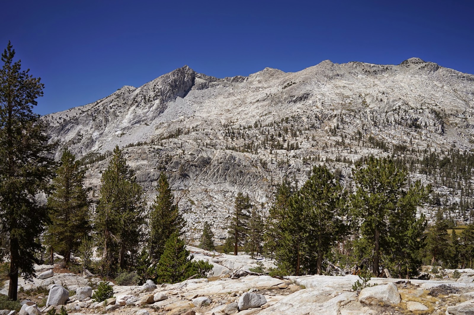
Granite Basin is aptly named with the initial view being a
vast expanse of granite surrounding small alpine lakes. The initial view of the
smaller lakes is not available until you begin to drop down into the basin.
While this trail is more labor intensive than the same distance on the Bubb’s
Creek Trail, I believe the views are worth the extra effort.
As usual, I did see a bear from the trail that walked away
from me as I headed the opposite direction because of the switchbacks. I looked
down but the bear was not to be seen again. I did see the bear tracks on the
trail for quite some time as I ascended. I think bears prefer the trails also. I found the Tom Harrison Map Kings
Canyon High Country to be a bit short on the mileage according to my GPS, but useful.
I used my GPS to mark the water supply places (filtered) outbound and could
then anticipate where they were on the inbound leg.
More graphics can be seen here:
https://www.youtube.com/watch?v=9LefNhe8S18&list=UU0G3jx2PLv6FOw2NM5Aa6Yw
More graphics can be seen here:
https://www.youtube.com/watch?v=9LefNhe8S18&list=UU0G3jx2PLv6FOw2NM5Aa6Yw
No comments:
Post a Comment