Dale Matson

GPS Route
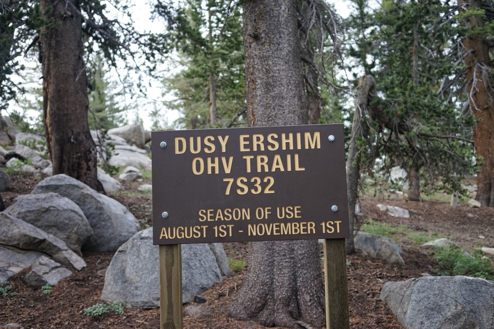
The Drive from Fresno to the trailhead at the beginning of
the Dusy Ershim trail near White Bark is about 1:45. You take highway 168 to
Kaiser Pass road. At Kaiser Pass turn right onto the dirt road for one mile.
The dirt road leads to the White Bark vista. Four-wheel drive is not necessary
but recommended. A vehicle with a high ground clearance is necessary for this road. You can park at the vista and walk to
the beginning of the Dusy Ershim trail or take your chances and drive to where
the trail begins.

Would You Drive This Trail?

View To The East From The Trail

Edison Lake

Deer Lake Telephoto
My GPS had the round trip hike at about 6.5 miles with about
1,500’ of total altitude gain. The hike was about 4.5 hours round trip at a
casual pace including one half hour on top. There is a “scope” that rotates 360
degrees on top near the radio tower and helps locate different peaks. Mt.
Givens is about 10,645’ in altitude and provides a 360-degree view of the
surroundings. You can see Mt. Goddard in Kings Canyon Park.

"Use Trail" Cutting Off Dusy Ershim

Kaiser Peak

Mt. Goddard In Kings Canyon Telephoto


Graveyard Peak Devil's Bathtub In Bowl Not Visible

Huntington Lake Telephoto From Mt. Givens

Dogtooth Peak

The hike follows the Dusy Ershim trail and you can follow it
SW until you begin the climb WNW to Mt. Givens. There is a use trail that forks
off from the Dusy Ershim Trail as it exits the woods and is more direct with
less up and down until it rejoins the Dusy Ershim Trail. You can see it as a
straighter, more direct line on my return leg on the GPS route I downloaded
following our hike. There is really no trail to follow once you leave the Dusy
Ershim trail as you climb toward the summit of Mt. Givens. You will see some
random cairns as you climb. The Dusy Ershim trail is 31 bone jarring miles and
continues all the way to Courtright Reservoir.
There is no water for resupply along the route. Just
remember when you come down, you will eventually hit the Dusy Ershim trail
sooner or later. There is some boulder hopping toward the top and we left our
trekking poles for the last 50 feet of climb so we could use our hands.After walking this section of Dusy Ershim, I have concluded
that driving it would be more difficult than walking it. Lot’s of luck Jeepers!
There is a Youtube video on the hike with more photographs here:
https://www.youtube.com/watch?v=Vx0Zd87Nk44&feature=youtu.be
There is a newer version of this posting here:
http://midsierramusing.blogspot.com/2015/08/mt-givens-day-hike-2015.html
There is a Youtube video on the hike with more photographs here:
https://www.youtube.com/watch?v=Vx0Zd87Nk44&feature=youtu.be
There is a newer version of this posting here:
http://midsierramusing.blogspot.com/2015/08/mt-givens-day-hike-2015.html
No comments:
Post a Comment