Dale Matson
Click On Photographs To Enlarge
Screenshot Of Suunto Ambit Download Of Hike Route
I have day hiked this route several times and the older I
get, the more I realize this is a labor intensive hike to a view of the west
side of the Sierra Nevada Mountains that may
offer a good perspective. The hike is about 11 miles round trip with about
3,000’ of elevation gain outbound. I have hiked it on a full moonlight night to
arrive at sunrise and late into the afternoon to get photographs at sundown,
which required hiking down with a headlamp. There is obviously no view once the
sun sets and it becomes a long return hike with only a narrow slit provided by
a trusty LED beam.
Hiking to Kaiser Peak this early in the season is almost
unheard of. I have hiked this route with my wife in June and we needed to turn
around at the midway point at College Rock (about 9,000’) because of the
remaining heavy spring snow cover. The positives of this time of year are that
it is a cool hike and the air is cleaner.
Another obvious fact about Kaiser Peak is it’s singular location
that is not really in the mountains.
It is a high vantage point but distanced from the actual Sierras. It is not
like Glen Pass in Kings Canyon or Alta Peak in Sequoia Park. They are both in the mountains. Secondly, there are
few vistas along the route. There is a vista of Huntington Lake at about 8,000’,
which is sadly low for this time of year. Seeing so much shoreline is a stark
reminder of the drought here in California. At this point, the mountains are
just peeking out in places on the horizon.
The next vantage point is at College Rock where the
mountains are more evident but getting a photograph is somewhat risky as you
boulder hop your way to the best view. At this point, even a camera with a 30X
optical zoom would only provide a close view of the tops some of the peaks. As
I climbed higher this year, I was hopeful but the clouds were gathering. The
air was clear and the temperature was comfortably cool. But the Sierras make
their own weather! The forecast for Huntington Lake was “Partly cloudy” but the
reality was a sky that become increasingly threatening and finally rain!
By the time I reached the first real opportunity for a view,
the weather had turned and was closing in. I walked across crusted snow toward
the saddle before the final climb and took the photographs that openings in the
clouds would allow. I began to think about the rain that was coming toward me
from the southwest and decided to head back down. My camera and lenses had fair
protection from the rain but I was not convinced they were completely safe.
This trip I was using my Sony A7R with the native Zeiss 55mm 1.8 and the native
70-200mm zoom. While it is possible to clearly see the ski lift terminal on top
of Mammoth Mountain with the naked eyes, the mountains require at least a 200mm
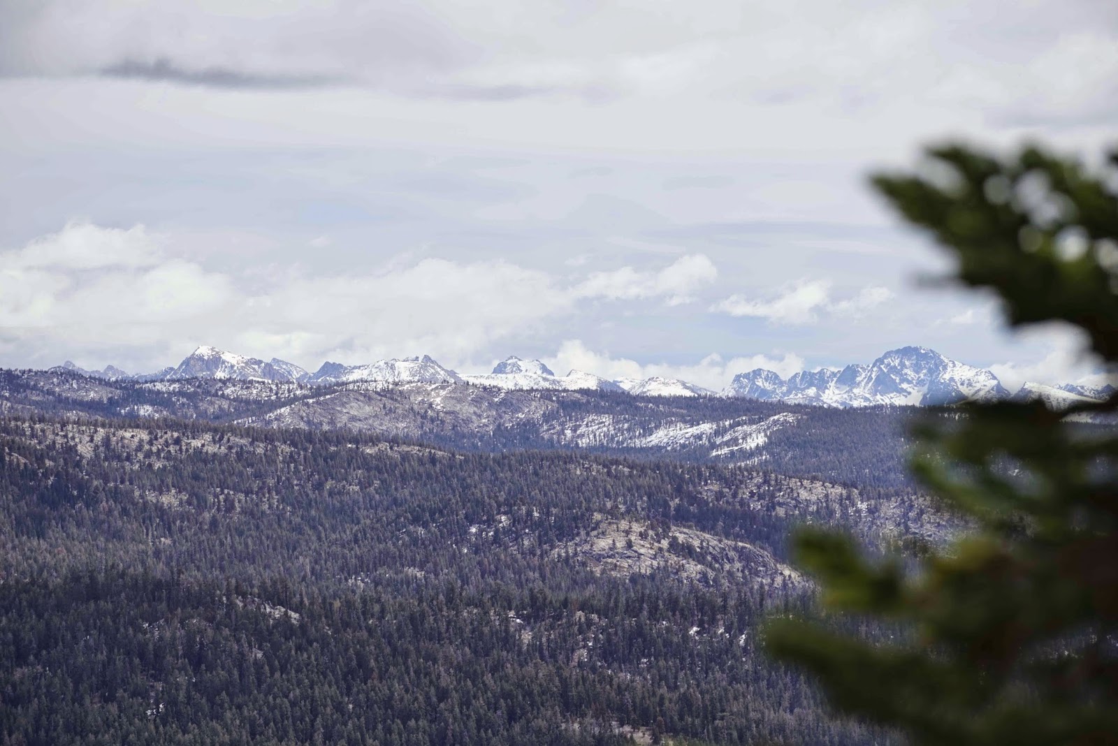
lens to provide the “mountain look”. When the view is clear, the 360-degree
perspective from the top of Kaiser Peak is stunning and stretches from the
mountains in Yosemite in the north down to Mt. Whitney in the south as one
looks east. It also includes Lake Edison. There are several small lakes
directly below the peak. The view west is usually hazy with smog.
I headed back down, only getting to about 9,800’, (Kaiser
Peak is 10,300’) because of the oncoming weather. I had a hooded rain shell
with me but did not want to risk harm to myself and the lenses in a bid to
climb to the peak that could no longer provided a view anyway. One the way back
down, I hiked into a partial fog/clouds that had moved in.
For those who attempt this as a day hike, my recommendation is a good
weather forecast (not a guarantee) including clear air, strong legs and a big
lens or high optical zoom camera.
Above Shaver lake From Highway 168
Sign At Trailhead Above Stables
Small Waterfall Below Trail
Ski Runs From China Peak Closed For Season
Huntington Lake
Possibly Mt. Goddard
Telephoto Of Condominiums Above Huntington Lake
College Rock
Trail Leading To False Summit Below Final Climb
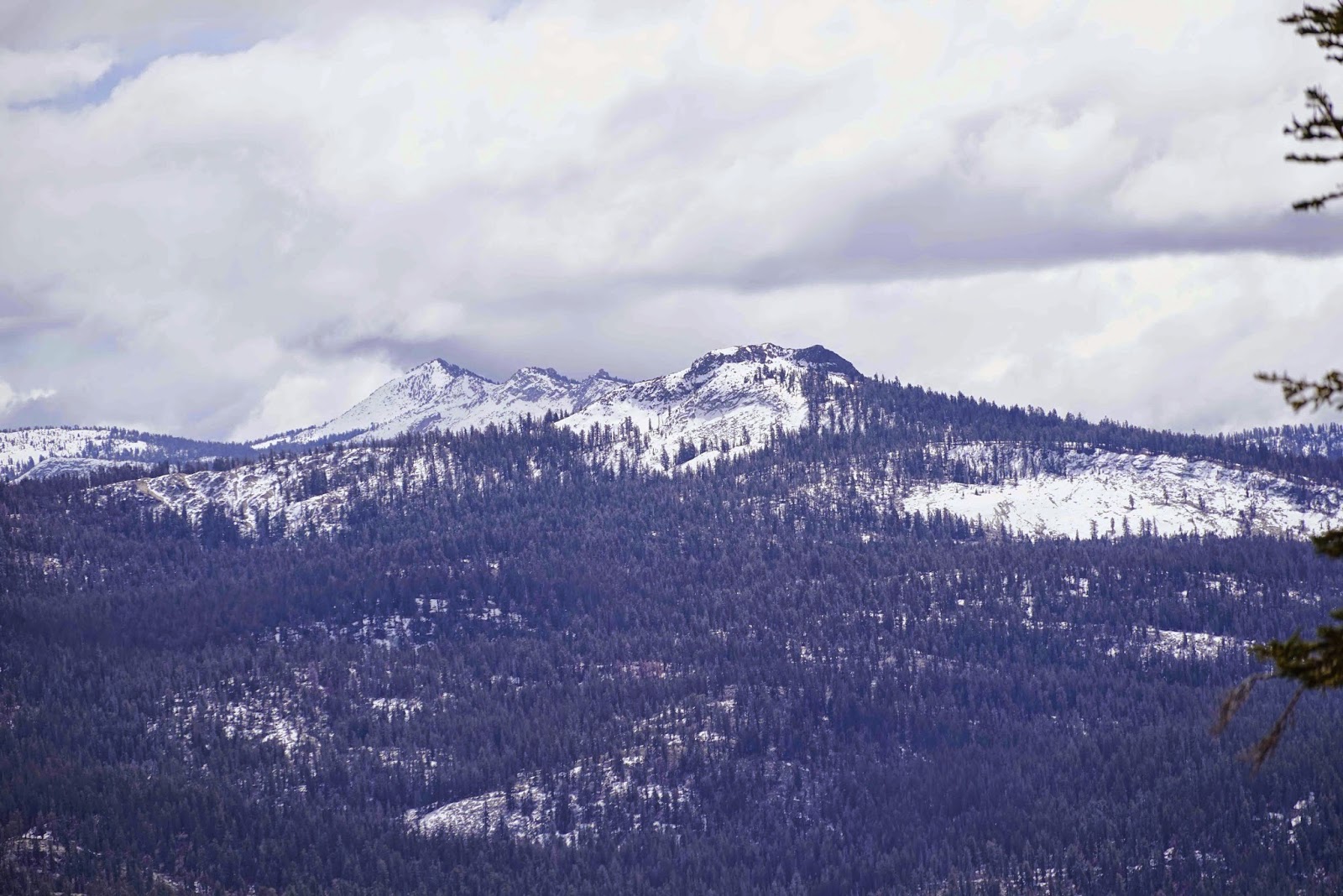
Banner Peak Shrouded In Clouds
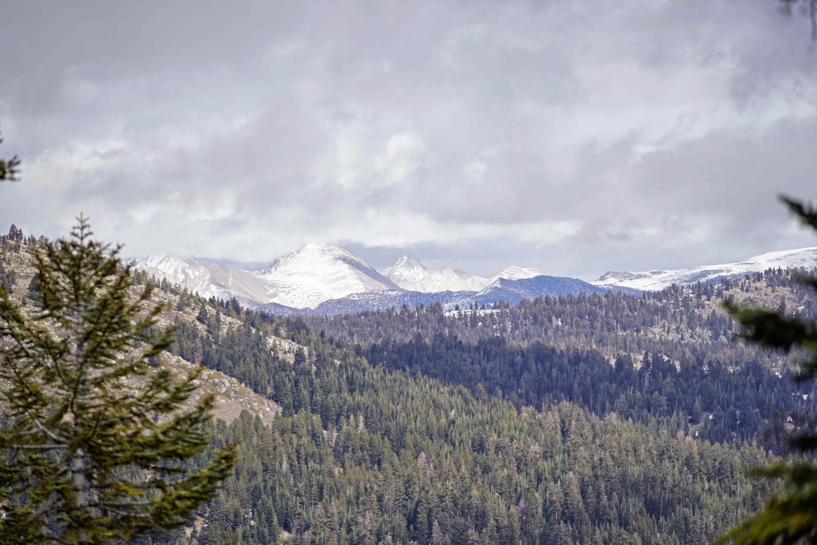
Mammoth Mountain
Edison Lake
Storm Coming In
Fog/Clouds Enveloping Huntington Lake And Trail
Here is the 2014 complete hike where the weather was good. http://midsierramusing.blogspot.com/2014/06/kaiser-peak-hike-2014.html
and the most recent hike in 2016:
http://midsierramusing.blogspot.com/2016/07/kaiser-peak-hike-2016.html
and the most recent hike in 2016:
http://midsierramusing.blogspot.com/2016/07/kaiser-peak-hike-2016.html


"I have hiked this route with my wife in June and we needed to turn around at the midway point at College Rock (about 9,000’) because of the remaining heavy spring snow cover" I think this will be the same for this year of heavy snow (2017).
ReplyDelete