Dale Matson
Click On Photographs To Enlarge

Route
Well, we are ahead of our seasonal average for rain and snow so here’s hoping that this will continue. I noticed today in my journal that my first ski last year was not until mid December. While this latest storm brought snow as low as 5,000’, there was not significant snow until about 7,000’, which is above the first snow park at the Balsam Forebay trailhead along highway 168 (Tamarack is about 1.5 hours out of Fresno CA). This is an easier 2-mile total out and back trail to the Balsam Forebay. There was more than a foot of snow in places heading out of the Tamarack Trailhead, which is just below 7,600’. I didn’t check out the Coyote Snow Park trailhead just beyond and somewhat below Tamarack on the opposite side of the road but assume this Nordic ski and snowshoe only trail also had plenty of snow.
My trail companion of 10 years is my Airedale Susie and she was already anticipating a trip up to the snow before the rain in Fresno had subsided. I usually prepare the truck when she is outside because she gets too wound up. Her younger brother does not go when I am skiing by myself because the two dogs together are too much for me to handle. Winter is the only time either dog is off leash since they prefer to let us break trail for them following behind us.
The first order of business each season is to buy the annual Snow Park Pass in Shaver Lake on the way up to the snow parks. It is still $25.00 for a seasonal pass that ends May 1st. there are also day passes available for $5.00. Be sure you ask for a free trail map of the winter trails that goes with the snow parks in the area. You may be fined without a pass displayed on your window. These passes are also available online. https://secure.kinsail.com/results.asp?p=casno&pt=parks
Tamarack Snow Park is a popular destination for both folks on snow machines and on foot. The main trail out of the snow park is unrestricted and all must share this trail. In about a quarter mile the 4.1-mile loop Raven Trail heads off to the right and eventually rejoins the Tamarack Trail. Lots of luck finding your way around this loop with a steep descent just before rejoining the Tamarack Trail. The southernmost leg of the loop is not adequately marked. We generally just use the Raven Trail as an out and back to get to the Shaver Lake overlook about 2.5 miles from the trailhead. This also minimizes meeting a snow machine.
I was the initial trailbreaker this year and even though the trail is flat and then a gradual descent before it ascends to the overlook (The trail is about the same elevation at the overlook as the trailhead), breaking trail is hard work. I only got out about 1.25 miles breaking trail and turned back. Susie was glad for this short distance too since she is getting long in the tooth too. It was about 1 hour outbound and about the same uphill inbound.

Susie Impatiently Waiting For Me At The Trailhead Parking Area

Main Trail Sign At Junction

Raven Trail


Shaver Lake From A Turnout On Highway 168

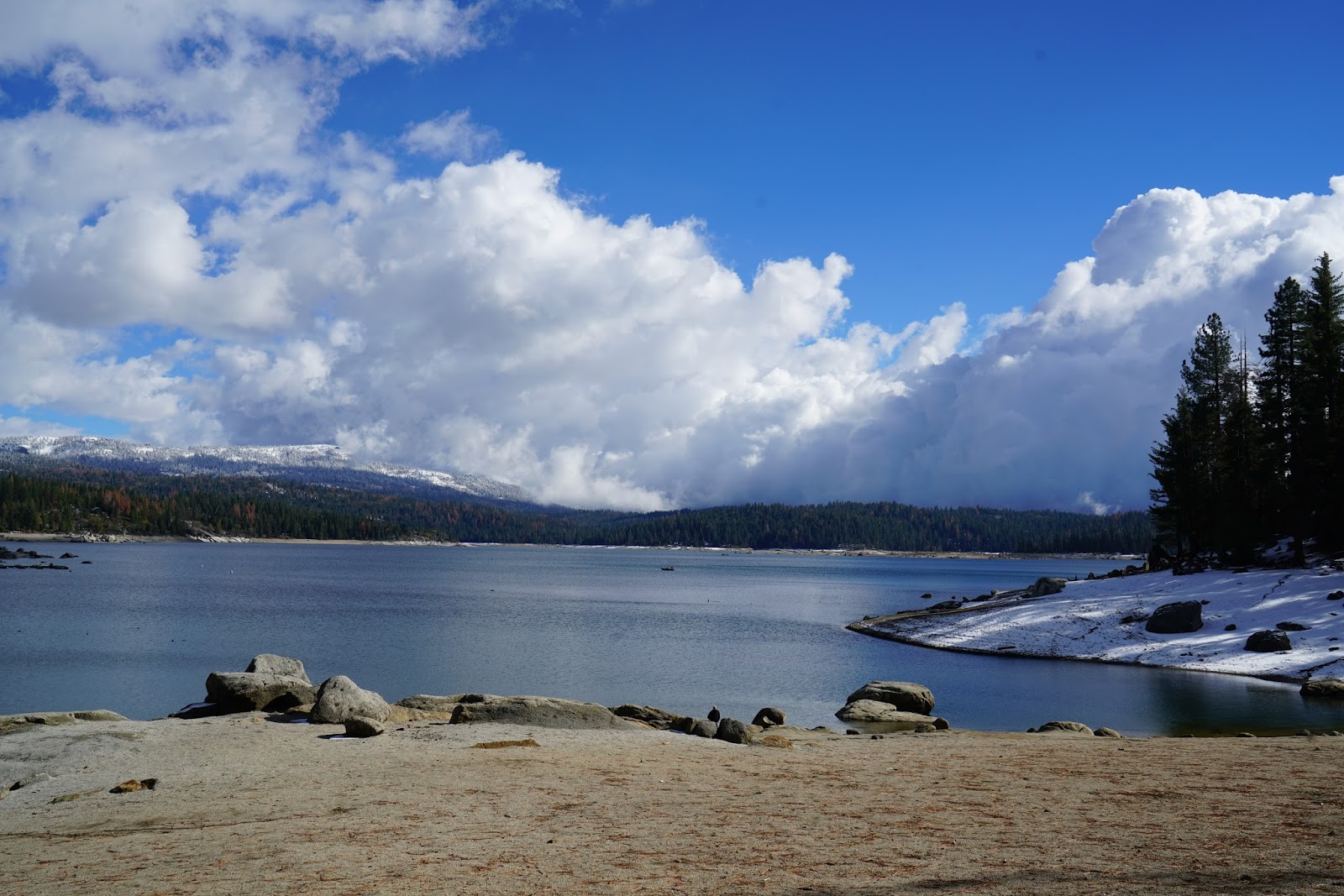
Storm Clouds Gathering Above Shaver Lake
Photographs were taken with Sony A7R2 and Sony Zeiss 24-70mm F4 lens.
No comments:
Post a Comment