Translate

Thursday, October 13, 2016

Duck Pass And Duck Lake From The Coldwater Campground Trailhead

Dale Matson

Click On Photographs To Enlarge
Hike Route Does Not Include Duck Lake

The trailhead is about 9,200’ at the end of the Lake Mary Coldwater Campground (Mammoth Lakes). The route is about 12 miles round trip with about 2,400’ of total ascent. This trip included trips to Arrowhead, Skelton, Barney and Duck Lakes with a view of Pika Lake from Duck Pass (elevation about 10,800’). There is ample water available along the hike route for purified resupply.  My hike was just under 8 hours but I took over 150 photographs. I would offer my usual advice, which is to start early. This is a well-maintained and popular trail. I was passed by a hunter with his pack and rifle, on his way over Duck Pass to Zone 7 in Fresno County where the deer season had opened. I would hate to pack that deer out!

There are quite a few blog articles and YouTube videos on this hike and I will add only what seemed significant to me. First, after you turn on Lake Mary Road, you will take the left turn to Pine City Campground and continue to the Coldwater Campground. Remember to go to the FAR end of the Coldwater Campground for the signed trailhead that reads “Duck Pass Trail”. Ironically, there is no such pass indicated on the topographical map. The pass is the dividing line between Mono and Fresno Counties with Duck Lake being in eastern Fresno County.

The trail begins as a steady climb through the woods and eventually becomes more gradual as the view opens up. As you climb, you will see Lake Mary through the trees. I chose to pass by the cut off trail to Arrow Lake and go there on the way back if time permitted. I also found that the light for photographs was not optimal and hoped that it would be better on the return leg. I did find good lighting behind me as I began to look back to the south toward Mammoth Mountain on the outbound leg.

Although Skelton Lake is a beautiful blue, Barney Lake is a splendid green color. After you leave Barney Lake, there is a series of very civilized switchbacks that you will climb to Duck Pass. If you turn around just before the pass, you will see Mt. Ritter and Banner Peak. Mammoth Mountain is visible most of the way too. Only Barney and Skelton lakes are visible as you climb. Note the color difference.
   
I was disappointed to find that the trees below the pass partially blocked my view of Duck Lake (also green in color). This is a large alpine lake with lots of high granite around it. The trail divides. One route is signed “Pika Lake” and drops southeast. I followed it to the shore of Duck Lake with about 300’ of altitude loss that I would have to climb again. Another route takes you due west toward Deer Lakes and the 3rd route drops down SSW to join the JMT/PCT only about 1.5 miles away.

On the way back I found the light to be better for some photographs and did do the short but steep descent to Arrow Lake. If you are not too tired, it is a pretty lake to visit also. I was very happy to have made this hike on an excellent trail. 


Skelton Lake


 Barney Lake


 Duck Lake


 Pass Looking North
 Pass Looking South With Banner Ritter Left Of Center
 Barney Lake From Switchbacks Above

 Arrow Lake

Top Of Mammoth Mountain Telephoto

Saturday, October 1, 2016

Bighorn Sheep And White Mountain Peak


Dale Matson

Click On Photographs To Enlarge
White Mountain Peak 14,252'

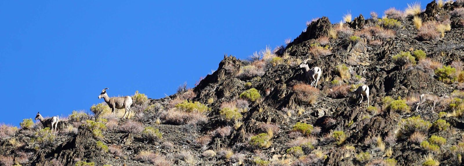
Well, it was another epic day for photographing bighorn sheep with Steve (aka ‘sheep whisperer’) Yeager. We began on the Silver Canyon Road out of Laws (near Bishop). The morning sun was in our eyes as we headed east but Steve was able to locate a small group high above us glassing with his Swarovski binoculars. They were continuing to climb and would soon be out of sight over a ridge.

Sheep Making Their Way Over The Ridge And Out Of Sight

I was able to get several photographs with my 70-300mm lens at 300mm but the images needed cropping to appear large enough. There were 4 ewes and 1 lamb. We did not see any other signs of sheep as we headed east to join White Mountain Road. Steve’s aging 4X4 Tundra aged another year as we bounced over the sharp rock “road” that was really a trail.

After joining White Mountain Road the route heads north as the relentless climb continues. I must add that White Mountain Peak is one of the most colorful mountains I have ever seen. The trail passes the Patriarch Grove of Ancient Bristlecone Pines to the east and eventually arrives at the White Mountain Research Center, Barcroft Station (elevation 12,500’). The station is just east of Mt. Barcroft (13,046). There is a locked gate and trailhead parking with a potty for those who want to hike the 12 miles round trip to the top of White Mountain Peak. At 14,252’, it is the 3rd highest mountain in California. It is rather ironic to me that Mt. Whitney and White Mountain peak have buildings on top.

Steve helps the California Department of Fish and Wildlife with bighorn sheep census as a volunteer and thus has access beyond the gate. He has magnetic signs that he puts on each side of his truck so folks don’t think he is a trespasser. We came upon the next group of about 28 bighorn sheep at about 13,200’ just as I was about to run out of courage with Steve driving on such a narrow and steep trail. I was also feeling a little dizzy having driven from my home in Fresno that morning, which is less than 300’ in elevation. Steve said, “There they are. Can you see them?” I said, “No”. He asked three times and I said “No” three times. Finally, I did see them as Steve parked the truck. The sheep were east of us along a steep ridge with a nearly sheer cliff to the east of that.

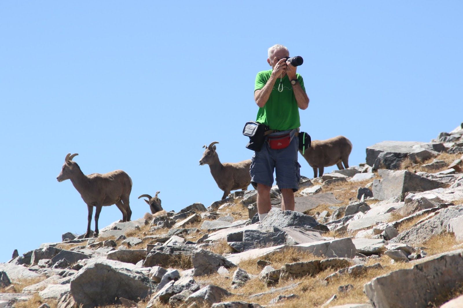
We walked slowly up to the group from below so as not to frighten them. Steve said that sheep don’t like it when you are above them but tolerate you if you carefully come up from below them. I was taking photographs almost immediately and forgot all about the elevation. We were close enough to the sheep that I went back to the truck and got a Zeiss 85mm lens, which made for smaller but tack sharp photographs. We were there for at least an hour and I took so many photographs that I needed to put a fresh battery in my camera. Steve noted that one of the ewes had mucus on her nose and thought she was pretty sick. Eventually, the sheep began heading below us along the ridge.  We didn’t know it at the time but there were other sheep that they were joining down below.


 White Mountain Wilderness
 Colorful White Mountain Peak With Building On Top 


 Steve Counting Sheep


 Sheep Elevation

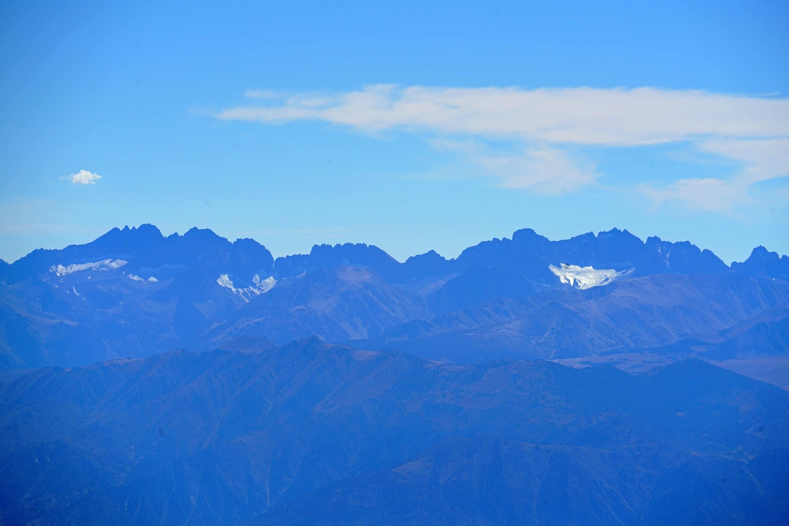
 Palisades And Clyde Glaciers In The Sierra Nevada


 Young Ram And Ewe
 Ram
 Sierra Glaciers To The West
Sick Ewe

Steve said, “Shall we go to the top! I timidly said, “Yes”. I finally ran out of courage as the truck struggled to climb even in low range and said, “Let’s park and walk the rest of the way.” We were on a high saddle about 350’ below the top and it was a ‘relatively’ easy walk the rest of the way. It was quite a view knowing that we were higher than the Palisades in the Sierras west of us. All of the glaciers were visible from our vantage point. Steve located the USGS elevation marker behind the building installed in 1913 with an updated higher elevation stamped in later.


Where Did Those Sheep Go?


We finished the day with a brief visit to the Patriarch Grove and back down Silver Canyon. What an epic day topped off with some homemade soup at Steve’s place. Thanks again Steve!

I have a YouTube video with photographs and video clips here:
https://www.youtube.com/watch?v=Dc9LHCeCCps