Translate

Tuesday, February 14, 2017

San Joaquin River Gorge 2017


Dale Matson

Click on Photographs To Enlarge

Suunto Ambit 2 Download 

I recently spent some time near the Kerckhoff and Redinger Reservoirs. http://midsierramusing.blogspot.com/2017/02/sights-along-san-joaquin-river-from.html
I also reported on the San Joaquin River Gorge in 2016. http://midsierramusing.blogspot.com/2016/03/san-joaquin-river-gorge.html
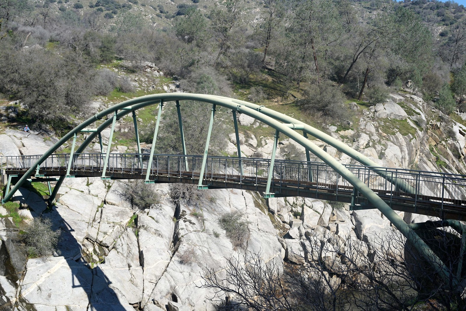
This year was different because of the record rain and snowfall in the Sierra Nevada. The river gorge area is narrow and I anticipated quite a sight standing on the magnificent footbridge that crosses the river. I don’t believe we have seen the peak flow yet however since we have yet to see the spring rains combined with snowmelt.
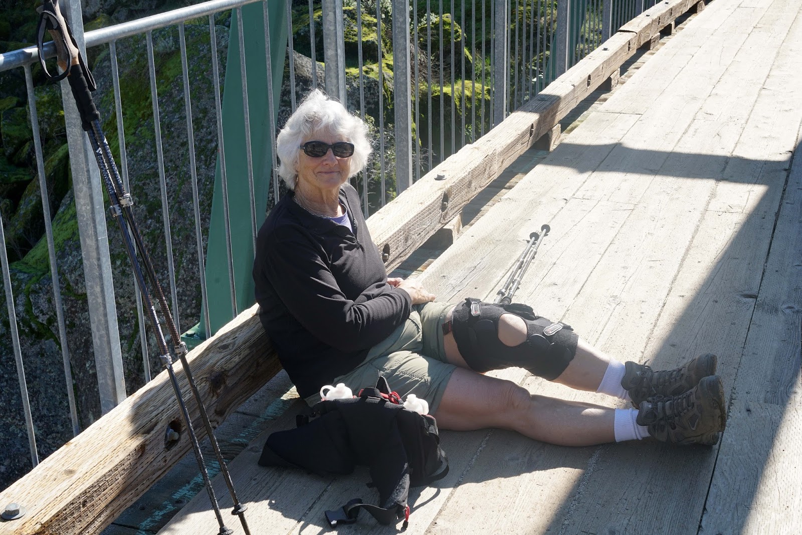
This year was more difficult since I am recovering from anemia and had to take the climb back out rather slow to keep my heart rate below 110 (the guideline set by my cardiologist). The route from the trailhead off Smalley Road is about 2 miles round trip with a descent outbound down to the river of 367 feet. The trailhead is about 1,000’ in elevation, which is actually higher than the Kerckhoff Reservoir upstream. The Kerckhoff Powerhouse is just upstream from the bridge and seen in one of the photographs. This is the area near where the Temperance Flat Dam if built would raise the water level considerably since Temperance Flat is just a bit further downstream. There are seasonal creeks that cross the trail and eventually hit the San Joaquin. There are also seasonal waterfalls visible from the trail.    

My wife accompanied me and carried extra water for me. To keep the weight down, I only brought my Sony A7R2 with the Zeiss Loxia 50mm lens. This combination carries very nicely on a belt holster. 


A Slide show with video clips is available on YouTube here:

Wednesday, February 8, 2017

Sights Along The San Joaquin River: From Kerckhoff To Redinger Reservoirs


Dale Matson

Click On Photographs To Enlarge

Redinger Lake From above on Minarets Road (Road 225)
Also Known As Mammoth Pool Road

This has been a bonanza rain and snowfall year thus far. China Peak ski area near Huntington Lake is over 300” of snow and Fresno is only one inch away from the total annual rainfall total at 10.5 inches. Of course there has been local flooding and swollen rivers but water seems to be in abundance as it pours out of the Sierra Nevada Mountains and foothills. Everything is so lush and green it reminds me of Ireland. We have had very little valley fog, which usually accompanies increased ground moisture.

I spent lots of time this winter at Millerton Lake Reservoir looking for and sometimes taking photographs of Bald Eagles. Millerton Lake is the final reservoir in a chain of reservoirs along the San Joaquin River. I have had the opportunity to follow this great 366-mile river from the headwaters of the middle fork at Thousand Island Lake in the Minarets Wilderness. I have also followed much the south fork, which begins at Martha Lake in Goddard Canyon in Kings Canyon National Park. The first reservoir on the San Joaquin where all three forks have merged is Mammoth Pool Reservoir at about 3,300’. These reservoirs were mainly built to produce hydroelectric power but also serve recreation and as water storage and flood controls.
The next reservoir after Mammoth Pool as the river descends is Redinger Lake at about 1,400’ in elevation. It is located in Fresno County. Below that is Kerckhoff Reservoir at about 1.000’ in elevation. The San Joaquin River flows into Millerton Lake at about 500’ in elevation. Millerton Lake is the largest capacity of the reservoirs at one half million-acre feet. The San Joaquin forms much of the boundary between Fresno and Madera Counties.
There is a proposed dam at Temperance Flat between the Kerckhoff reservoir and Millerton Lake that would nearly double the water storage capacity along the San Joaquin. I am in favor of the dam. This year in particular will see millions of acre feet of fresh water wind up in the ocean because of inadequate storage.

Temperance Flat Area Of San Joaquin River
Take Wellbarn Road out of Marshall Station Until The Gate 
Walk From There

My drive today took me from Fresno to Auberry where I headed out Powerhouse Road past the cut off to the San Joaquin River Gorge area and to the Kerckhoff Dam. I was amazed at how much water was flowing under the bridge that spans the east end of the reservoir. There is evidence of two prior bridges, one on either side of the newer bridge.
I then took Road 235 and climbed toward Redinger Lake. There were several waterfalls along the side of the road as I drove by. I could see the dam below me at Redinger and when I was almost there, there was a huge stream crossing the road, which made further travel impossible even with my 4X4 Truck. I turned around somewhat surprised that road 235 wasn’t blocked off. When I went back through Prather, I stopped at the High Sierra Ranger station to inform them and had photographs to show how bad the road flooding was. They took it from there.   

 Wishon Powerhouse From Bridge Over Kerkhoff Reservoir
 San Joaquin Upstream From Bridge
 Footings For Former Bridge


 Flood Across Road 235 Heading To Redinger Lake


 Dividing Line Between Fresno And Madera Counties


 Kerckhoff Reservoir On Climb To Redinger Lake
 Snow In Higher Elevations
 Mule Deer


 Dam At Redinger Lake
 Impassable Road


A YouTube video can be found here with additional video clips: