Translate

Wednesday, July 13, 2022

Saddlebag Lake Trip II

Saddlebag Lake Trip II

Dale Matson

Click On Photographs To Enlarge

Hike Route


Ok, so why did I do most of this trip again? It only added one mile! My original goal on the first hike was Helen Lake. My late mother’s name was Helen. The problem is there is a considerable drop from Odell Lake to Helen and the trail was snow covered with snow the first time. A young couple came from that direction and said they had difficulty getting up the hill. I was more worried about sliding down it! 

So, I waited and decided to do the hike to Helen Lake with less snow yesterday. In the meantime, a fire broke out in Yosemite and closed the Highway 41 entrance I usually take in the summer. This means that I still headed up Highway 41 from Fresno but turned on Highway 49 and headed to Mariposa and picked up 140 into the park. Even with the two Bailey Bridges over the Merced River that are one way, I still got to the entrance in plenty of time. There is as of this writing, road construction on 120 from Olmstead Point to Tuolumne Meadows and I had to endure three separate one lane “follow me” brigades. I stayed in Mammoth Last night, got to the park at 2:30 am this morning and got home in 3 ¾ hours! There was smoke the whole way yesterday but none after Yosemite, which was good for photos.

Yesterday was hot in Fresno 105 degrees and even at 10,000’ the temperature was 78 degrees when I finished. The trail down to Helen Lake was loose shale, steep and along the edge of a slope. Be careful!

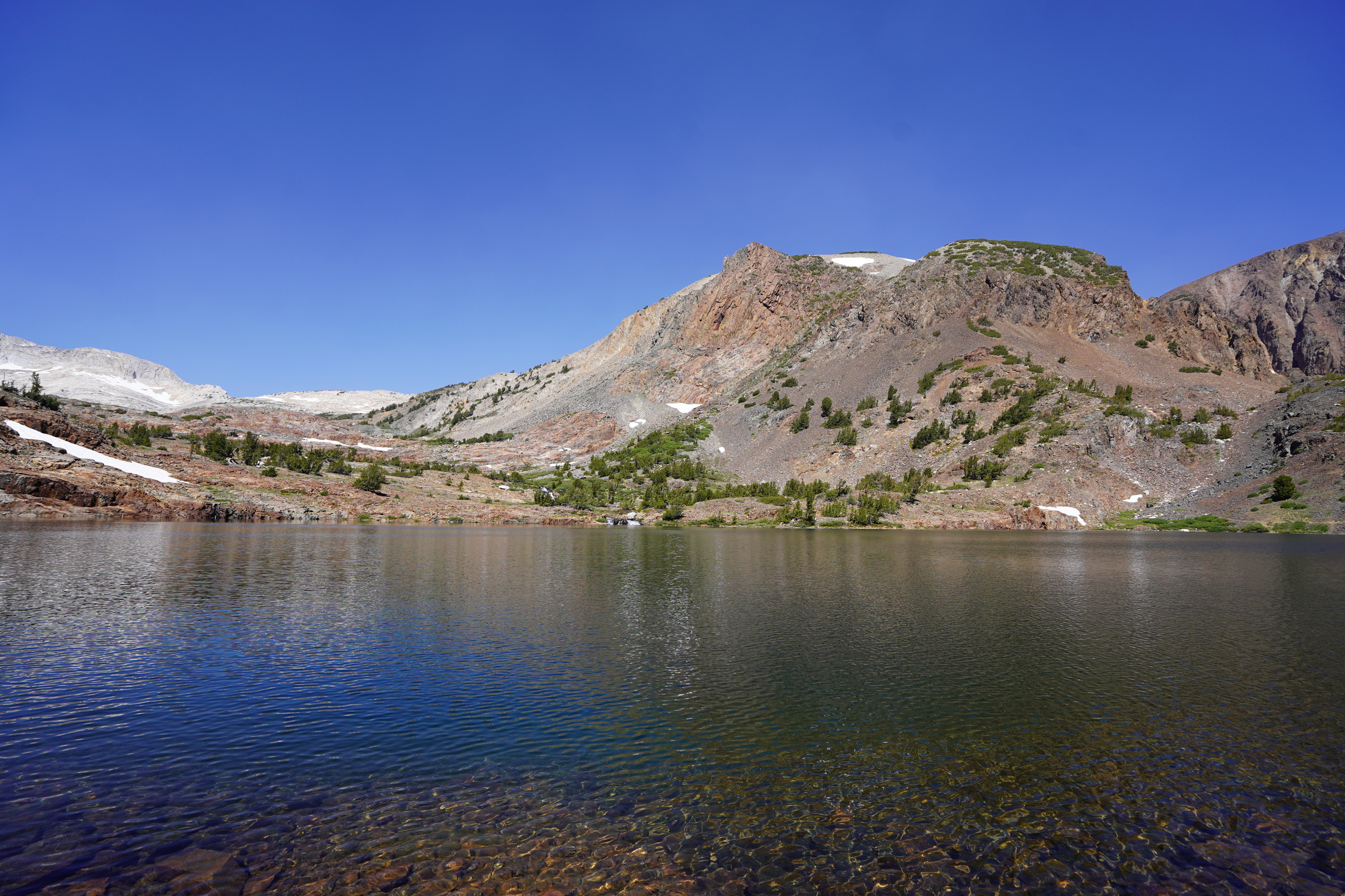
Helen Lake receives water from Shamrock Lake to the West with a nice waterfall into the lake. It also receives water from Odell Lake to the South. The outflow from Helen Lake is Mill Creek and eventually descends to form Lundy Lake.

There is also the northernmost group of endangered Sierra Nevada Bighorn Sheep in the area and I took binoculars to no avail.

If you will note on the map, my route was 7.5 miles. If you do the loop without the ferry (I don’t believe it is running in any form) It will be about a 15-mile hike.

I took these photos with my Sony A7C, 85mm 1.8 and 16-35mm lenses.

Saddlebag Lake


Mt. Conness L. North Peak R.
Hummingbird Lake
Odell Lake

Descent To Helen Lake


Waterfall From Shamrock Lake 
Mount Dana


Thursday, July 7, 2022

Kaiser Peak Hike 2022

Kaiser Peak Hike 2022

Dale Matson

Click On Photographs To Enlarge

Hike Route

This is my annual penultimate trail fitness hike to get ready for backpacking. My previous 2 years were outliers since I finished in under 8 hours. Yesterday was more typical time of latter life with a 9-hour finish. My original times were three hours up and two hours down. Those were the days when I had my trail companion Susie.

https://midsierramusing.blogspot.com/2014/05/susie-airedale-my-trail-companion-part.html

With our lack of snow, the “creek season” is quickly over with and three liters of water is needed for this 11.2-mile hike. You can see evidence of the Creek Fire as you ascend.  I would rate it “difficult” because it also has 3,400’ of total gain with a maximum altitude of 10,300’. 

There were some deadfalls that I had to route around but the air temperature was great. I saw deer track but no deer. It is worth noting that if you want to cut your trip short, the first Huntington Lake overlook is about 2.2 miles (8,400’). The next stopping place is College Rock which is about 9,000’. The Sierra Nevada begins to pop up at College Rock. It’s a nice trail to College Rock except for a big deadfall.

The next section you will notice the thinner air and the final section has three false summits. The view east at the summit, while somewhat hazy, is better than to the west. It is a 360-degree view and some of the small lakes to the east below Kaiser Peak are not visible from the very top.

The view is north of Mammoth and includes Banner/Ritter and Mammoth Mountain. (You can see the gondola house on top). You can see to the nearer north east, Mammoth Pool Reservoir. Further south you can see Red Slate, Red and White Mountains, and Edison Lake. Further South you can see the Mono Divide, Recess Peak, Mt. Jepson and Bear Creek Spire. Further South you can see Massive Mount Goddard. If you have a peak finder app on your smart phone, make sure you bring it.

If you are up for it, it is a 5-star hike! 


Red Mountain
College Rock
Mt Goddard 


Mt. Banner
Mammoth Mountain


Edison Lake


Huntington Lake

Dogtooth Peak Left


Mammoth Pool Reservoir


Banner Ritter


Kaiser Peak


Highway 168