Dale Matson
About 13 miles round
trip
Click On Photographs To Enlarge

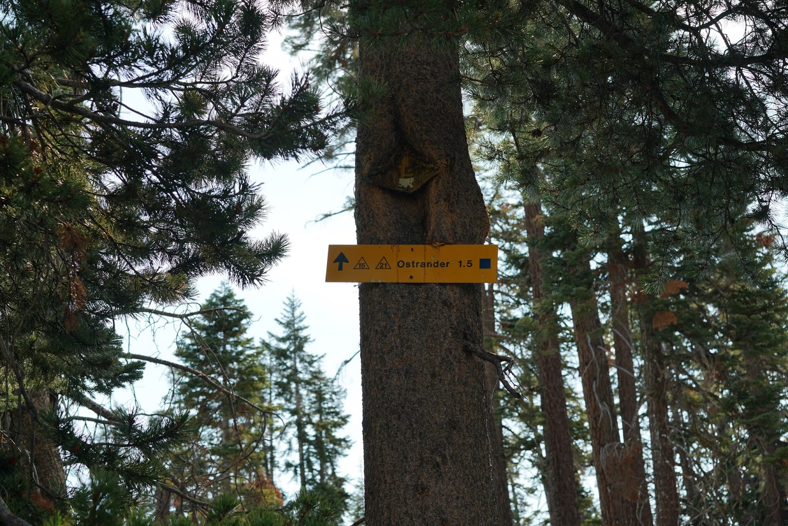
Hike Route From Glacier Point Road To Ostrander Lake
The trailhead for this hike is off Glacier Point Road.
Continue past the Badger Pass entrance (about mile 5) and pass the entrance to
Bridalveil campground. The trailhead is next with signage. There is parking, a
bathroom facility and bear boxes at the trailhead. Any food you are not taking
with you can go in the bear boxes. There is also a trail from the Bridalveil
Campground that joins this trail for those who camp there.
I have done this hike several times over the years and as a backcountry
ski destination twice. It is a much easier hike than it is a ski destination.
Because of the heavy snowpack, the trail markers are high in the trees and some
are old government license plates. I
have a YouTube video of one of my winter ski trips I uploaded in 2010 to
Ostrander Lake here. https://www.youtube.com/watch?v=_KM6bhClokw. Most folks who ski to
Ostrander Lake stay overnight at the ski hut. This is a well-marked and
travelled trail. We passed backpackers who intended to stay overnight at the
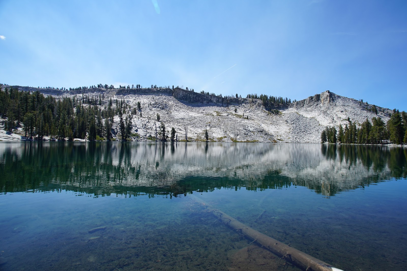
lake. An overnight would offer better hours for photographs of this lake that
reminds me of Pear Lake in Sequoia Park.
As Yosemite hikes go, this is one of the more civilized with
about 1,800’ of ascent overall. The trail is mostly dirt with no water
available along the way this time of year. I recommend an early start for a
hike that will take about 8 hours at a casual pace. The first three miles are
relatively flat and travel through open meadows and woods. There is not much of
a view until you are about one and a half miles from the lake. Horizon Ridge
offers the first views to the northeast of features such as Mt. Clark, Half
Dome and Cloud’s Rest. Trees obstruct the panorama as you climb along the
ridge.You top out about 8,600’ and then descend about 100’ to the
lake. It is the only dependable water resupply for those who purify or filter
their water. It is a great place to have lunch and rest before heading back. It
is also a nice place for a cooling swim. Ostrander Lake is the headwaters of
Bridalveil Creek, which eventually becomes Bridalveil Falls in Yosemite Valley.
The creek was essentially dry when we hiked it. In the winter, the lake is
frozen and the view is starker. The ski hut is only open in the winter.
The best unobstructed view is on the way back from the lake.
When you finish the climb out, there will be a series of large boulders along
each side of the trail. Not long after that, there is a use trail to your right
and it will take you to the best place to view and photograph the mountains.
I used three lenses for the photographs with my Sony A7R2.
The adapted Canon 17-40mm lens worked best at Ostrander Lake. The Zeiss 55mm
1.8 worked as my walk around lens and the Sony G 70-200mm worked to reach out
into the park from the unobstructed vista. I believe if you have a lens with
more optical zoom, you could see the folks on the saddle and top of Half Dome. This combination of camera and lenses only adds about 5 pounds to my day hike gear.


Half Dome From Horizon Ridge (South West)

No comments:
Post a Comment