Day Hike To Mount Givens 2022
Dale Matson
Click On Photographs To Enlarge

I have done this hike several times. The particulars are contained in a previous post. https://midsierramusing.blogspot.com/2014/07/day-hike-to-mt-givens-from-white-bark.html
My son Ben and I set out from Fresno at 6am, which got us to the trailhead at 8am. Our hike took about 4.5 hours round trip with about 2,000’ of gain and a distance of about 5.6 miles total. We began the hike as usual on the 33-mile Dusy Ershim OHV trail. This trail travels to Courtright reservoir and is only for the most rugged vehicles. https://www.youtube.com/watch?v=23y78UkIqfs
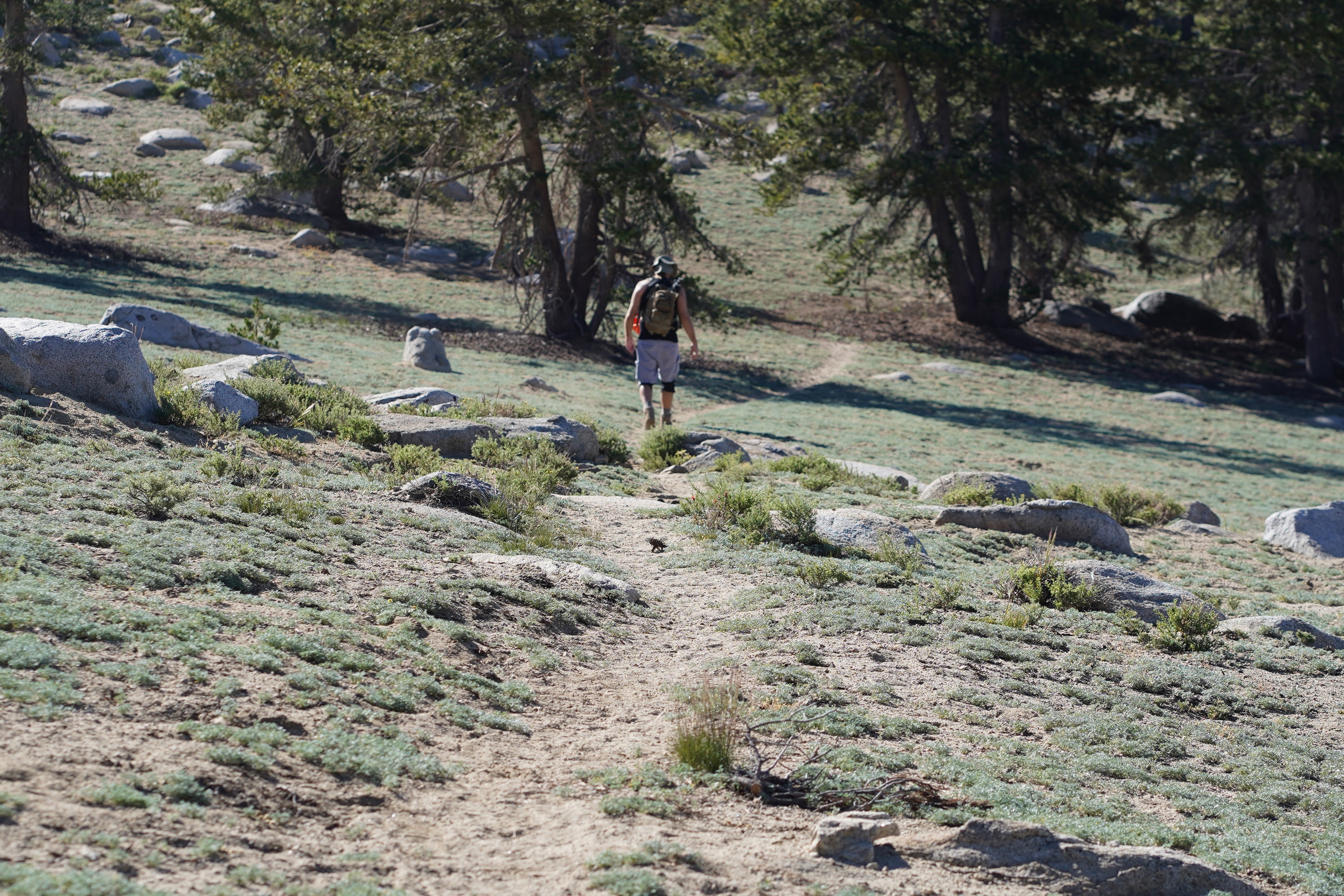
In more recent years I have discovered a cut-off trail which is more shaded and direct. Yesterday was hot, even above 10,000’.
Ben ran into a work colleague who was traveling the trail below us and was waiting for another Jeeper to get unstuck.
As you can see by the GPS overlay on the topo map, our final ascent off trail was too direct and made for steep travel. When we were inbound, we took a more forgiving route downhill.
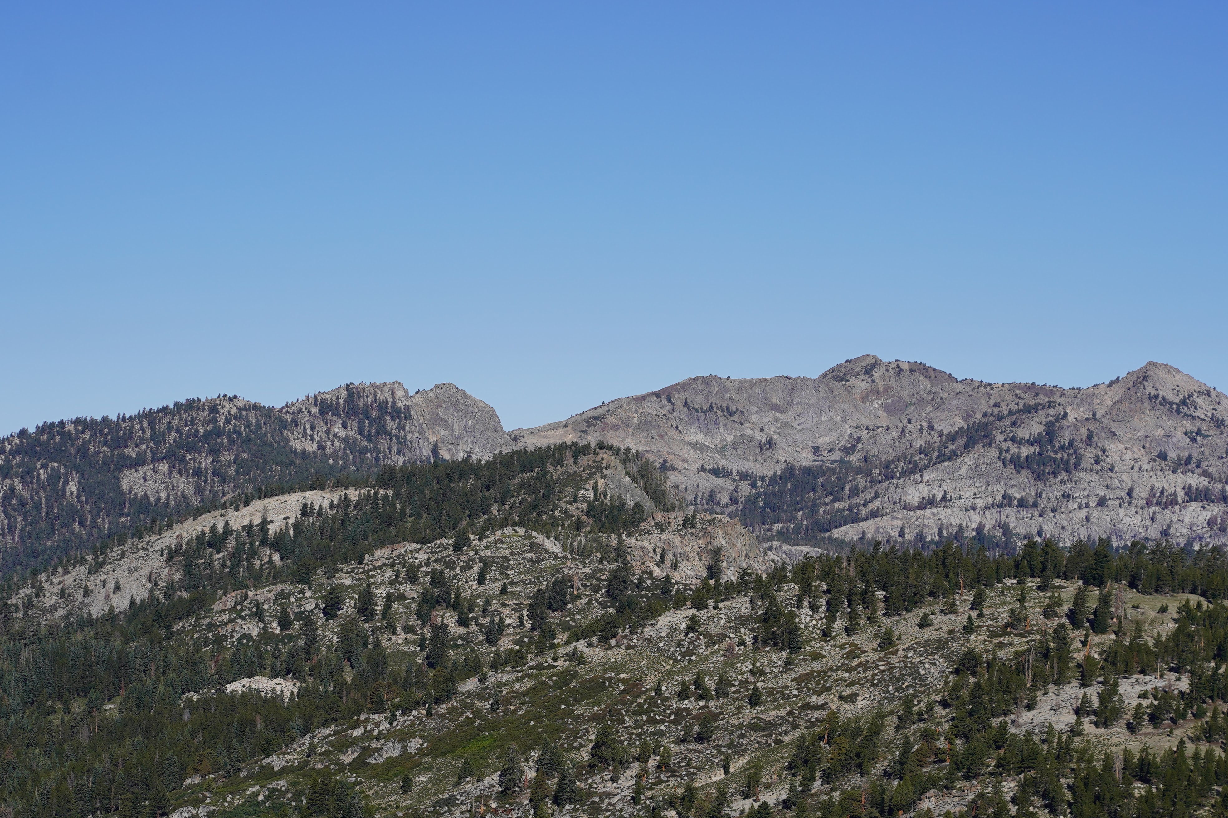
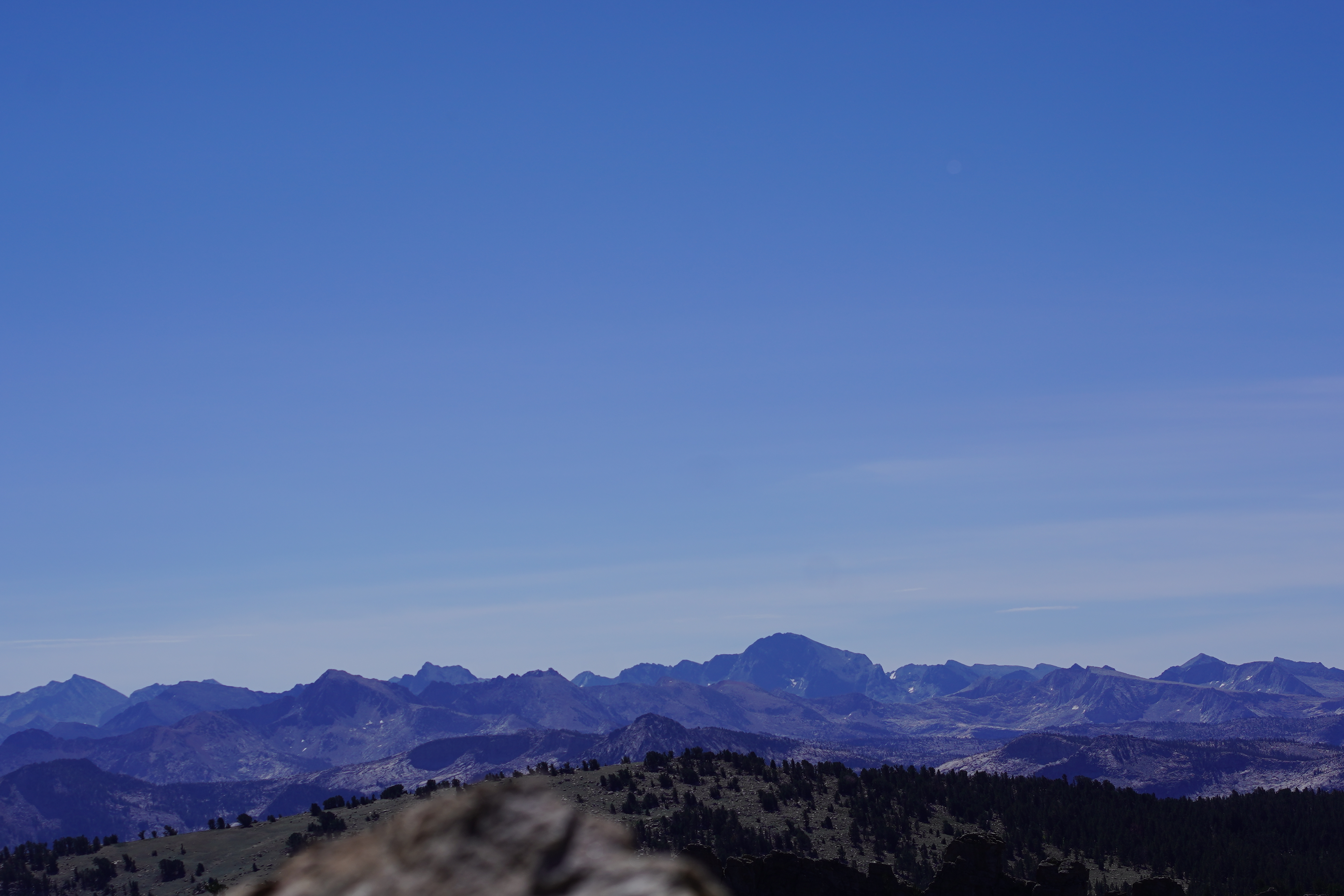
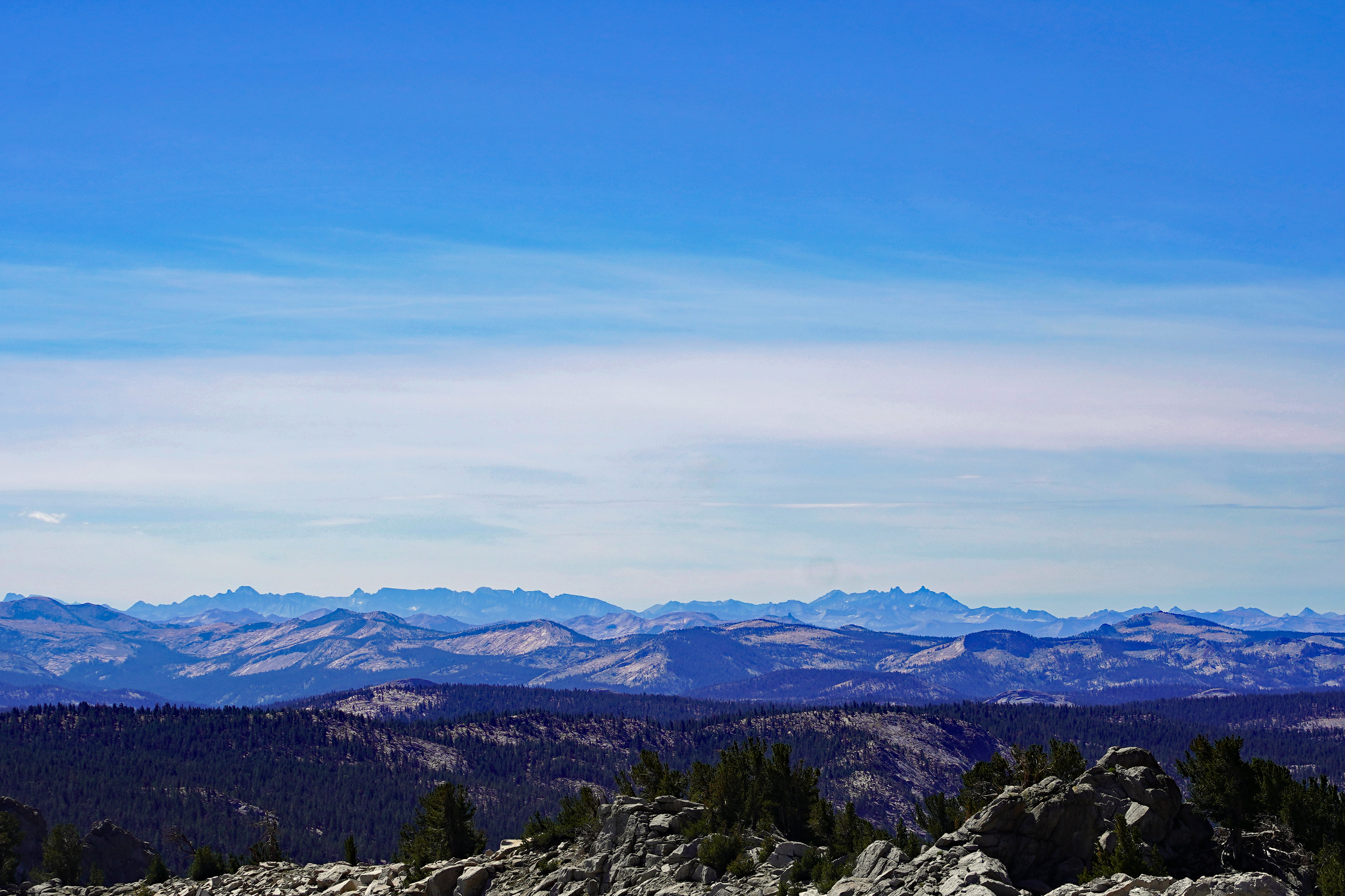
I left my trekking poles leaning against a tree before scrambling up the last boulder field toward the radio antenna at the top. It is a 360-degree view that begins in Yosemite and runs south below Mt. Whitney. I used the “Peak Finder app on my iPhone and it labels some of the mountains fairly accurately. I have included some of the Peak Finder shots. The air was fairly clear.
The inbound trek was hot for me and I needed to rest a couple of times in the shade. There is no water on this hike, so bring at least 2-3 liters with you. No bugs.
This year I used my Sony A7C with the Sony 85mm 1.8 lens for photos and for video.


No comments:
Post a Comment