Translate

Friday, July 20, 2018

Day Hike To Tuttle Creek Ashram Near Mt. Whitney


Dale Matson

Click On Photographs To Enlarge


Route


For Background, hike particulars and more photos there is an excellent article here: https://modernhiker.com/hike/hike-to-the-tuttle-creek-ashram/

There are a few things about our hike that need discussing up front. We began our hike after 10:00 am. It was already over 80 degrees with a finish of 105 degrees! This was the hottest hike I have ever done and should have known better. There is little shade on this exposed trail along the canyon wall.
Driving on this road becomes increasingly difficult. Much of the road has a downhill camber. If you have a great off highway vehicle and a skilled driver, you will find a place for two vehicles at the trailhead. If you don’t, park further down! I have a Tahoe 4X4 and limited courage so I parked in an open spot about 7/10th of a mile below the trailhead. It is supposed to be a mile to the Ashram from the trailhead. My Suunto Ambit 3 had our hike distance round trip at 3.7 miles with about 1,300’ of gain overall. My Garmin Map 64 had the distance at 4.7 miles. Normally, this would not be too difficult except for the extreme heat and times when the trail grade was above 15 percent. I appreciate the difficulty and dedication it took to get building supplies up there. But…I wanted to do this for the last 3 years and had the time and opportunity.
I have hiked up the other side of Tuttle Creek looking for the Sierra Nevada Bighorn Sheep a few times so I was familiar with the terrain. The Tuttle Creek canyon is deep and the water is not accessible until you cross the footbridge not far from the Ashram. You can resupply there if you have a means to purify or filter the water. There is no water source at the Ashram itself.
The Ashram was never finished but the structure is well built and sturdy with poured concrete walls and ample roofing. The roof is not, however rain proof. It would be a good place to shelter if you were backpacking and a storm came up. You could pitch your tent inside the building. There is some evidence of disrespect but for the most part, folks have honored the place by leaving it as they found it.
One final note. There are some who use this trail as the beginning of an alternate approach to a summit of Mt. Langley. https://www.summitpost.org/tuttle-creek-to-mount-langley/314792
I used a Sony A7R3 with the 16-35 GM 2.8 lens and the Zeiss Batis 135 2.8. 


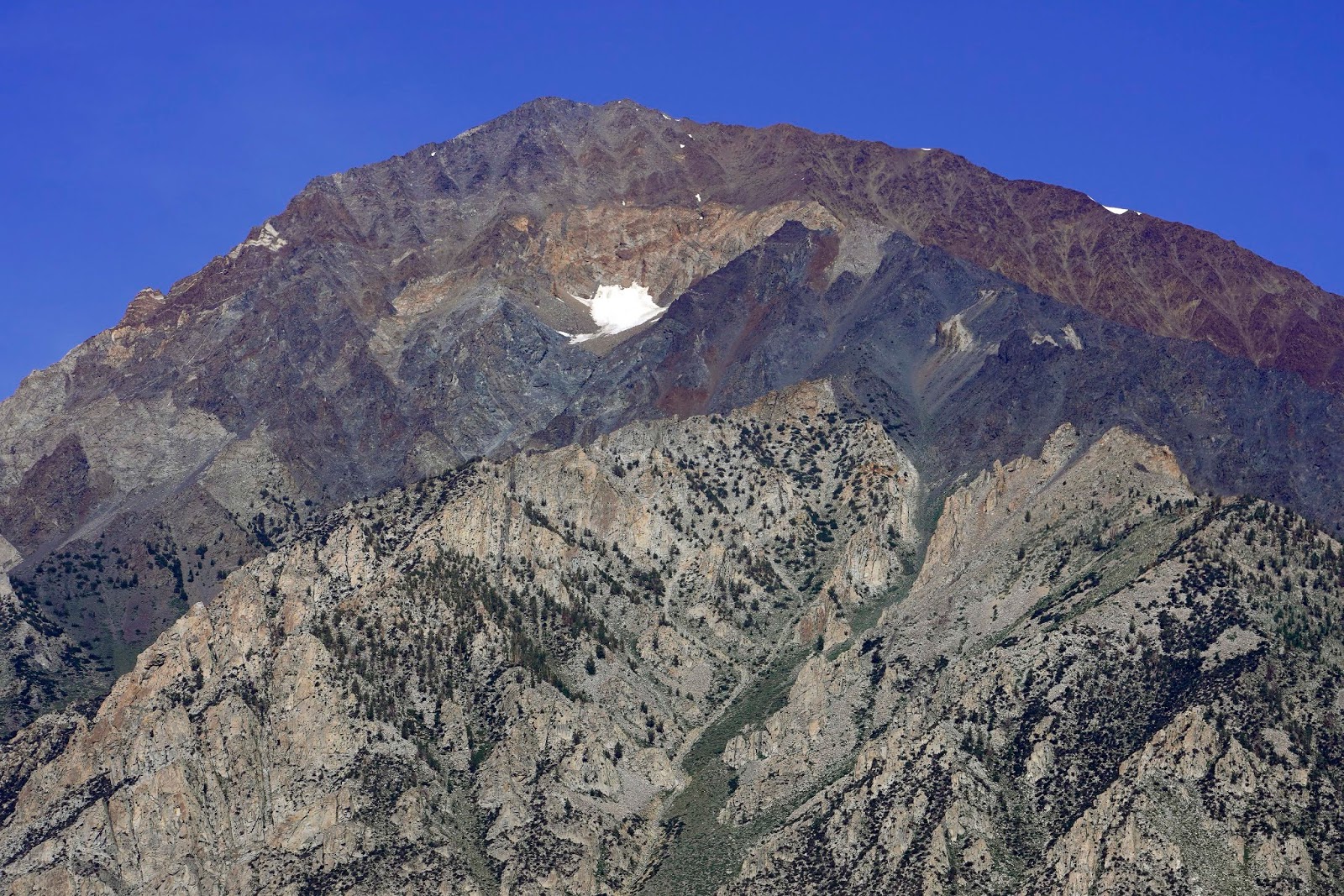
 Mt. Langley (14,026) Left Of Center
 Sharon And Marie With Mike Up Ahead


If You Look Carefully The Ashram Is Left Of Center


Trailhead Sign


 Tuttle Creek Waterfall

 Footbridge Across A Portion Of Tuttle Creek
 Our Hiking Companions Mike and Marie


 Inyo Mountains East Of The Trail
 Afternoon Clouds Typical Of The Sierra Nevada

 Parking Area By Trailhead-Most Should Not Drive This Far!


Wednesday, July 11, 2018

Day Hike To Lower Horton Lake Near Bishop CA


Dale Matson

Click On Photographs To Enlarge

Route

This hike is about 8 miles round trip from the trailhead. From where I parked below the trailhead (see waypoint #1 on map), the distance was 9 miles round trip with about 2,500’ of ascent. The top elevation was 10,033’.
Take highway 168 west from Bishop (Line Street). After about 7-8 miles you will come to Buttermilk road on your right. Take Buttermilk road until you see a sign for the Horton Lake trailhead. There will be a second sign directing you further on. None of my topographical maps actually show the trailhead so I marked my route on the TNP map to indicate where the actual “road” ends and the trail begins.
Buttermilk road is popular with folks into bouldering. The drive provides beautiful views of Mounts, Tom, Basin, Humphreys, Emmerson and the Piute Crags. The hike route takes you between Mt. Tom and Mt. Basin.
If you have a high clearance 4X4 get as close to the trailhead as possible. There are only about three parking spots close to the trailhead. I parked a half mile below the trailhead which resulted in an additional mile of hiking. There is a nice spot in a grove of trees above where I parked where two or three vehicles could park. This is also pasture land with cows AND bulls. One bull was giving me a long look as I passed by treading lightly and avoiding eye contact.
The trail was originally a mining road which means that the switchbacks are long but the grade is civilized. I don’t recommend “cutting” the switchbacks. The shorter distance is offset by the energy expended. I recommend long pants for the buckbrush along the trail and for the mosquitos in the wet areas. Bring insect spray.
The climb up the canyon is essentially exposed, dry and hot. I marked the map with where a footbridge crosses a creek. If you have a means to filter or purify the water, that is a good place to resupply in addition to Horton Lake. You will still want at least 2 water bottles.
Horton Creek flows below the trail and forms a pond and two waterfalls which can be heard from the trail.
There are remains of buildings near the footbridge associated with the extinct Sunny Boy Mine above. There are a couple of empty cabins near Horton Lake also. Those hiking the southside route to attempt a summit of Mt. Tom also use this trail.
The Tom Harrison Mono Divide High Country map shows a trail on the north side of Lower Horton Lake that goes up (about 1,000’) to Upper Horton Lakes (about 1.8 miles). I mention this because none of my other Topographical maps show this trail.
I only saw one other hiker on this trail. I got a late start coming from Fresno that morning. I recommend an early start. This is a lesser known trail but it was on my bucket list for a couple of years. The up-side to an exposed trail is the view.
I used my Sony A7R3 with the Sony 16-35mm GM 2.8 Lens for these photos.

 Mt. Humphreys
 Mt. Basin
 Mt. Tom

 Unpaved Buttermilk Road

 1st Sign
 2nd Sign

 Trailhead


Merriam Peak Right Of Center?

 Waterfall
 Pond Below Trail Formed By Horton Creek
 Cabin By Horton Lake
 Horton Lake


 Extinct Mining Camp
Nearing Trailhead Inbound