Dale Matson
CLICK ON PHOTOGRAPHS TO ENLARGE

This area near Bishop California, west of Glacier Lodge Road
is a basin but is not named as such on topographical maps. Of all the hikes and
backpacking I have done, this area (which could also be called “Glacier Basin”)
has the highest “Wow!” factor overall. Our route was about 18 miles total.
My wife and I did a late start day hike a month ago and we
decided to extend the hike to an overnight. The first four miles from the
trailhead with additional information is here: http://midsierramusing.blogspot.com/2015/06/day-hike-from-glacier-lodge-road.html

Sharon and Me
We picked up our wilderness permit and stayed overnight in
Bishop. We were at the trailhead by 7am and began the exposed climb from the
backpackers’ parking area. A group of folks passed us on horseback on their way
to Third Lake. They were already headed back from Third Lake when they passed
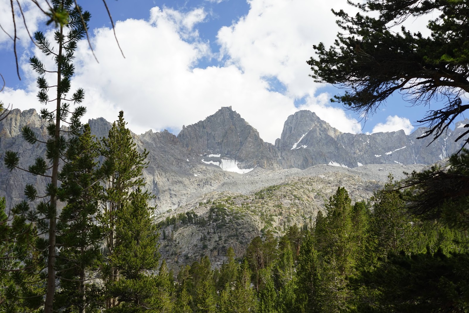
us again as we approached Second Lake! Not far into the hike we could see the
Middle Palisade and Norman Clyde Glaciers as we looked up the South Fork of Big
Pine Creek. We continued around the bend following the North Fork of Big Pine
Creek. It had stormed each of the three previous days which made the air
crystal clear with only a few lingering clouds. Big Pine Creek had lots of
water from the storms.
We hiked to the area above first lake, left our packs above
and descended on a use trail to the lake. What a view with silted green water
and Temple Crag (12,982’). Temple Crag dominates the view from each of the
first three lakes. The lakes look their most green with midday sun from above.
Unfortunately this tends to bleach out the surrounding mountains, which
photograph better during the golden hours.
We put on our packs and headed to Lake Two. We picked out an
established campsite, set up our tent and stowed most of our gear. We then
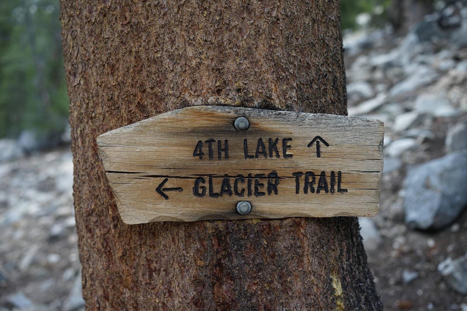
hiked to Third, Fourth and Fifth Lakes. Lakes One through Three are below the
trail. Fourth lake seemed different than the others and did not have the green
tint. It didn't seem to have the same stream source. It did have lots of
mosquitoes though. Fifth Lake was also magnificent and was at the same
elevation as the trail. We met a climber from Colorado who was with a group
planning on climbing Mt. Sill on Friday.
Our night was uneventful and I took some morning photographs
that had great lighting for the mountains and reflection but poor light for
showing the green water of Second Lake. Maybe it's the difference between sunlight on horizontal and vertical objects. We had breakfast, packed up and headed
back to the trailhead. There was a crush of folks on our inbound journey
because it was a Friday.


2nd Falls

North Fork Big Pine Creek


Lake One


Sierra Cowboy

Lake Two


Lake Three


Fourth Lake

Fifth Lake


Above Second Lake
There is a YouTube video with more graphics here:
No comments:
Post a Comment